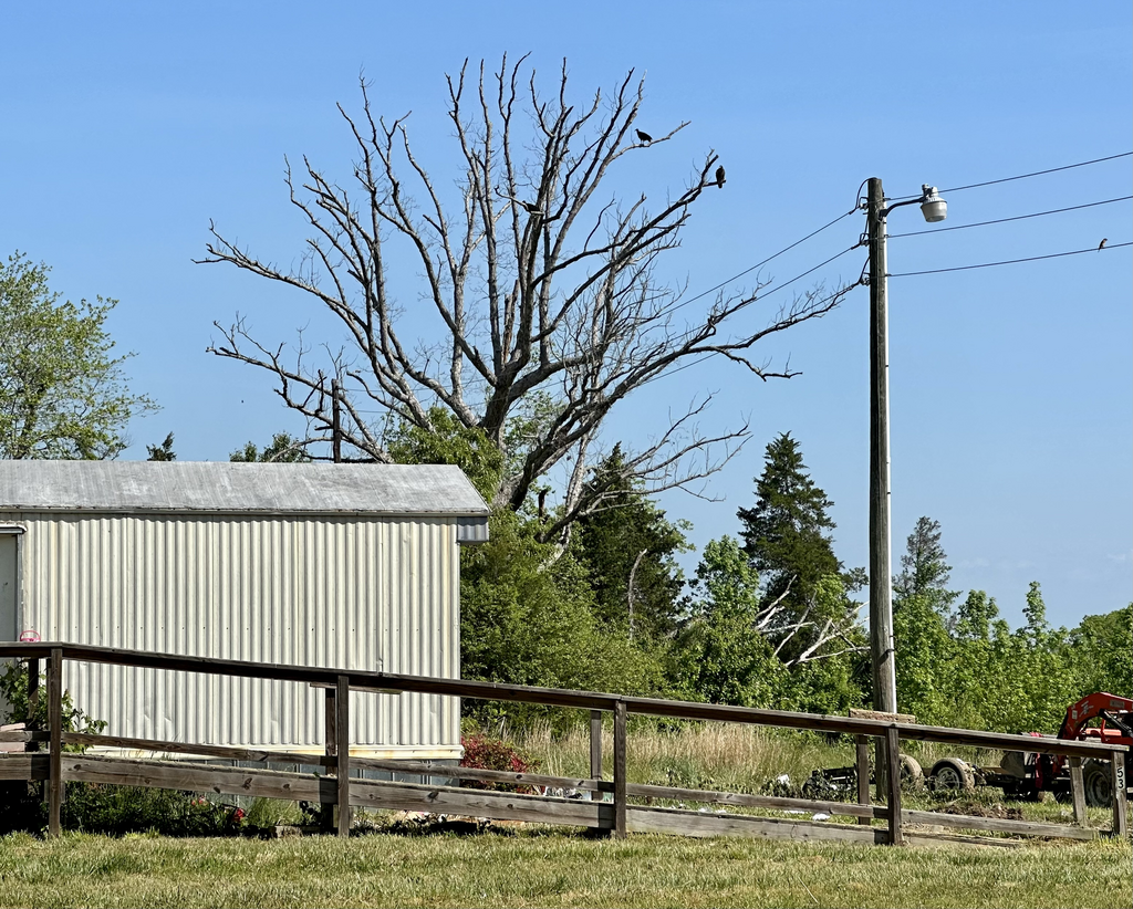
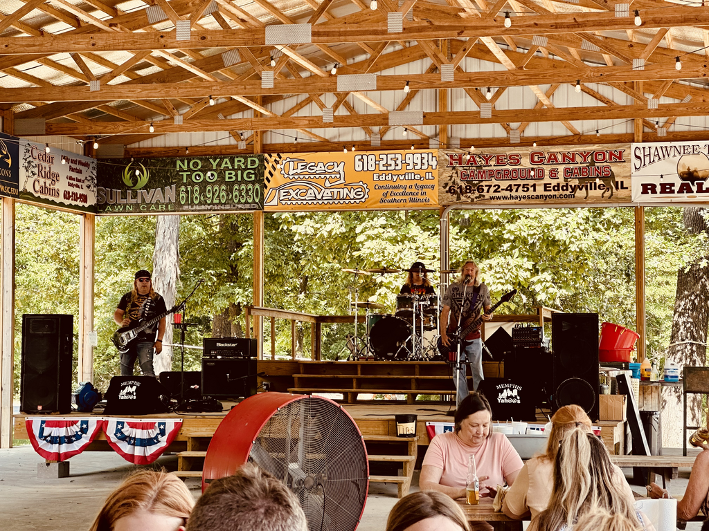
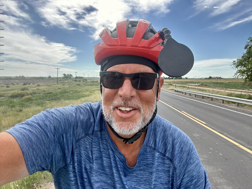
Fired up and ready to go!Day -2: 2023-05-03
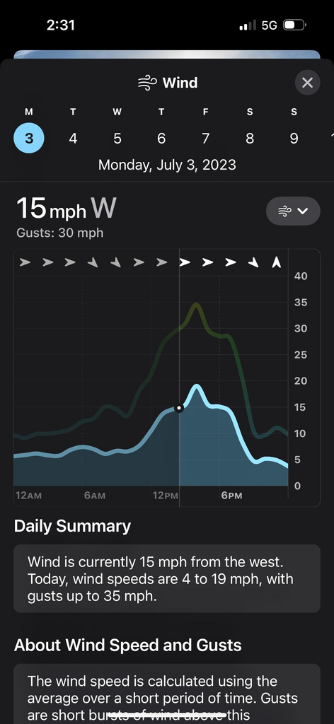
1565
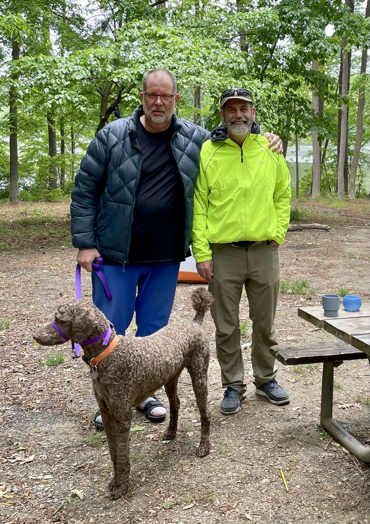
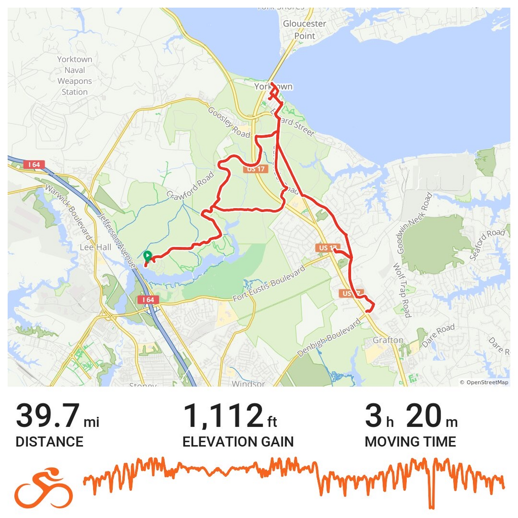
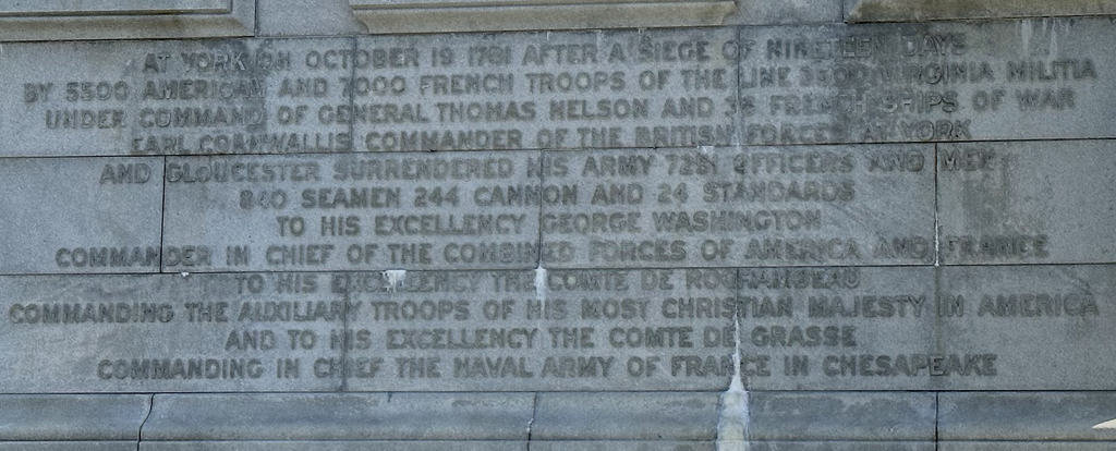
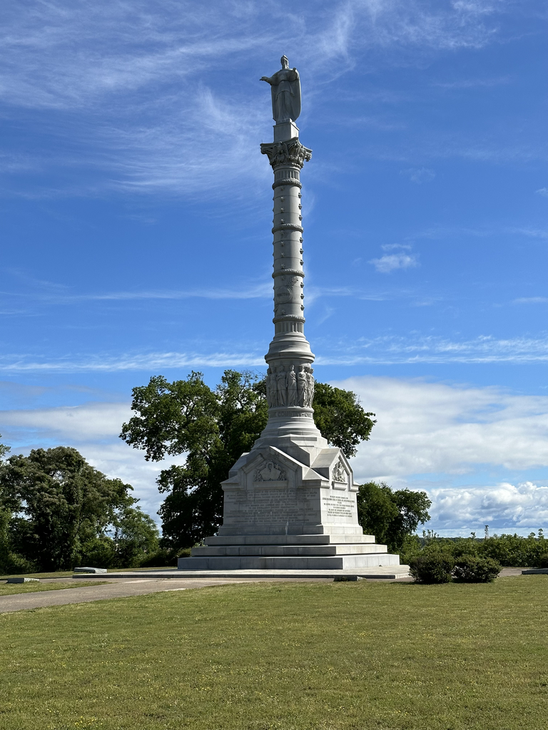
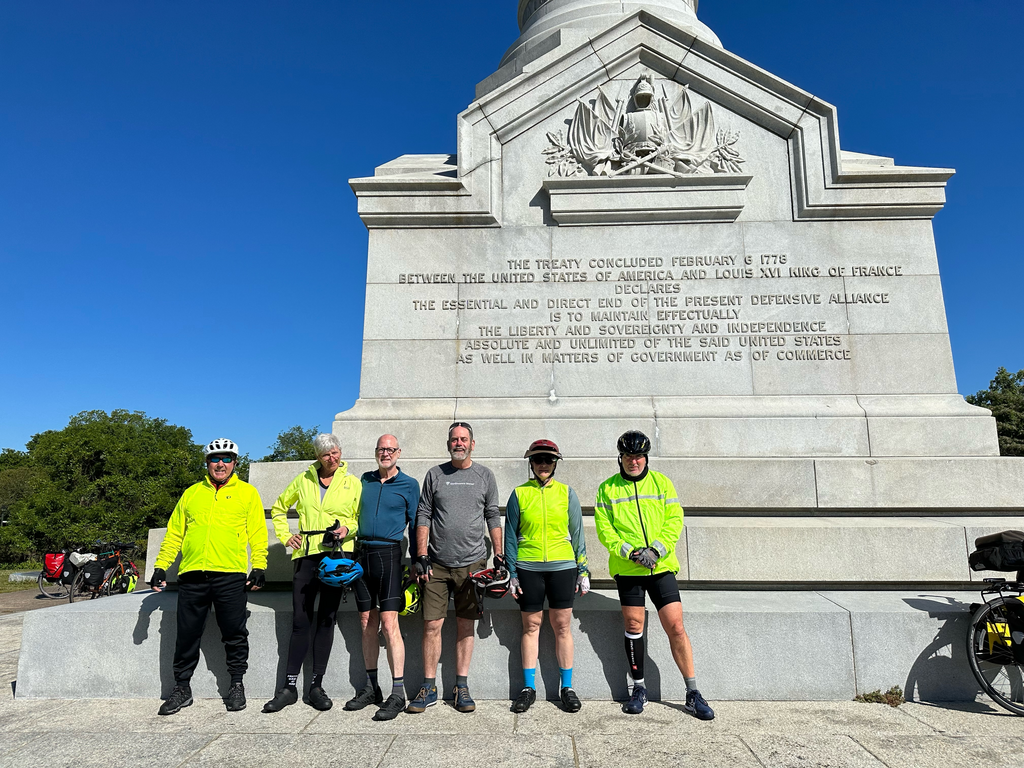
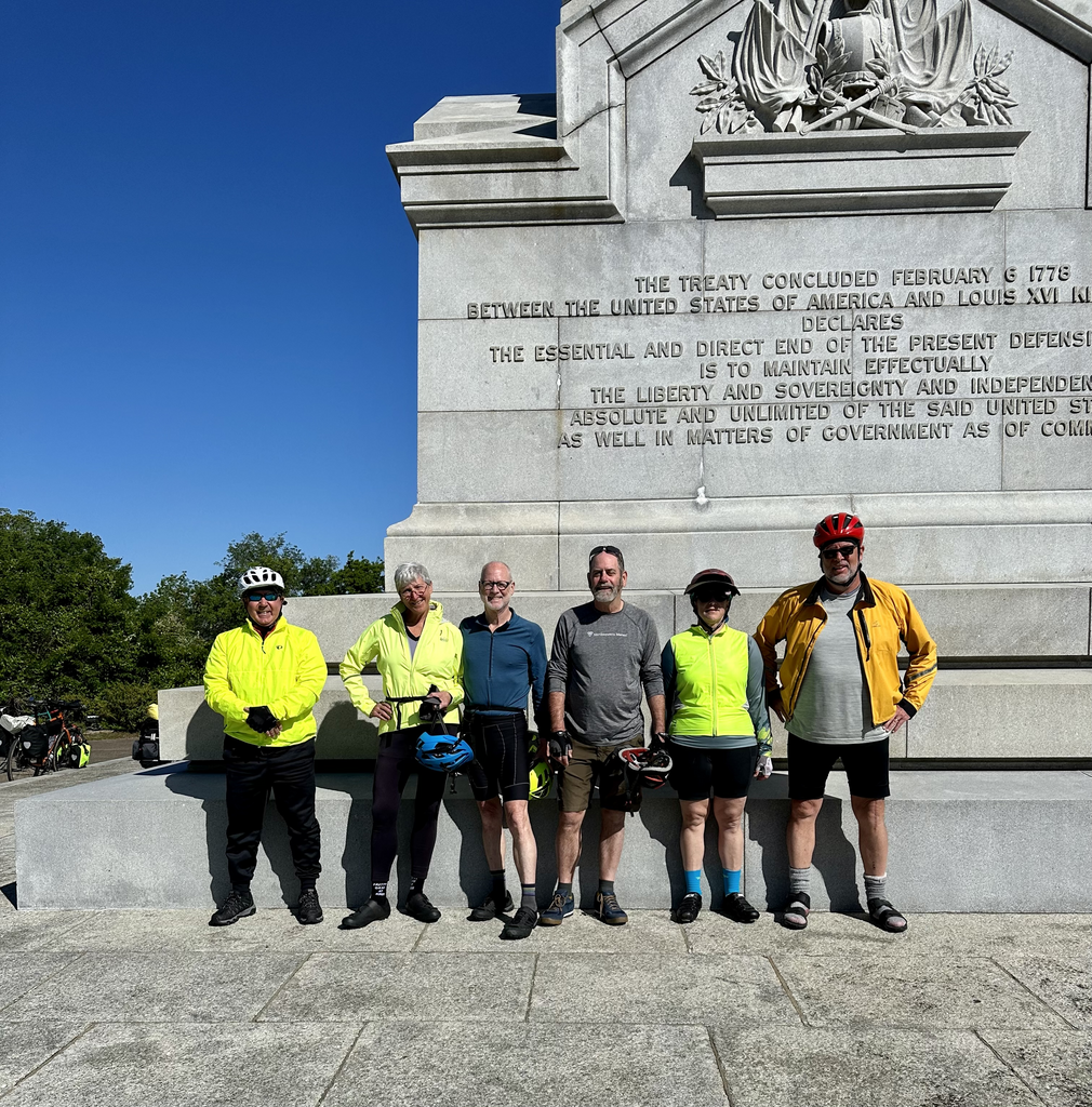
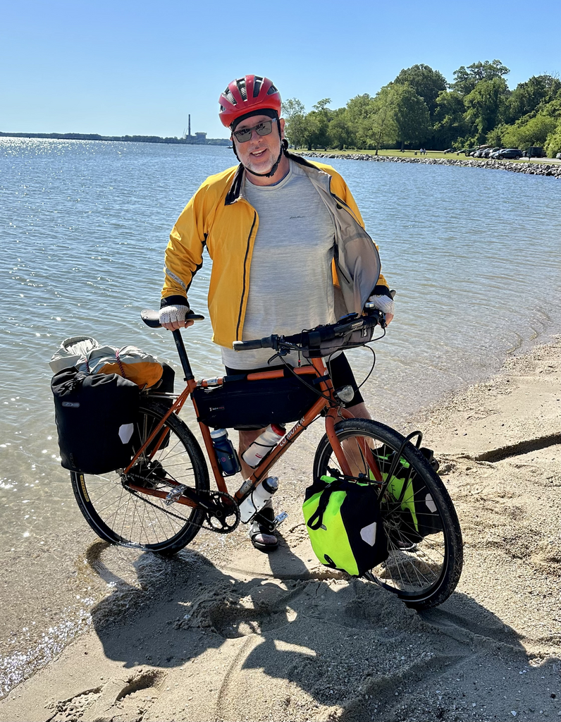
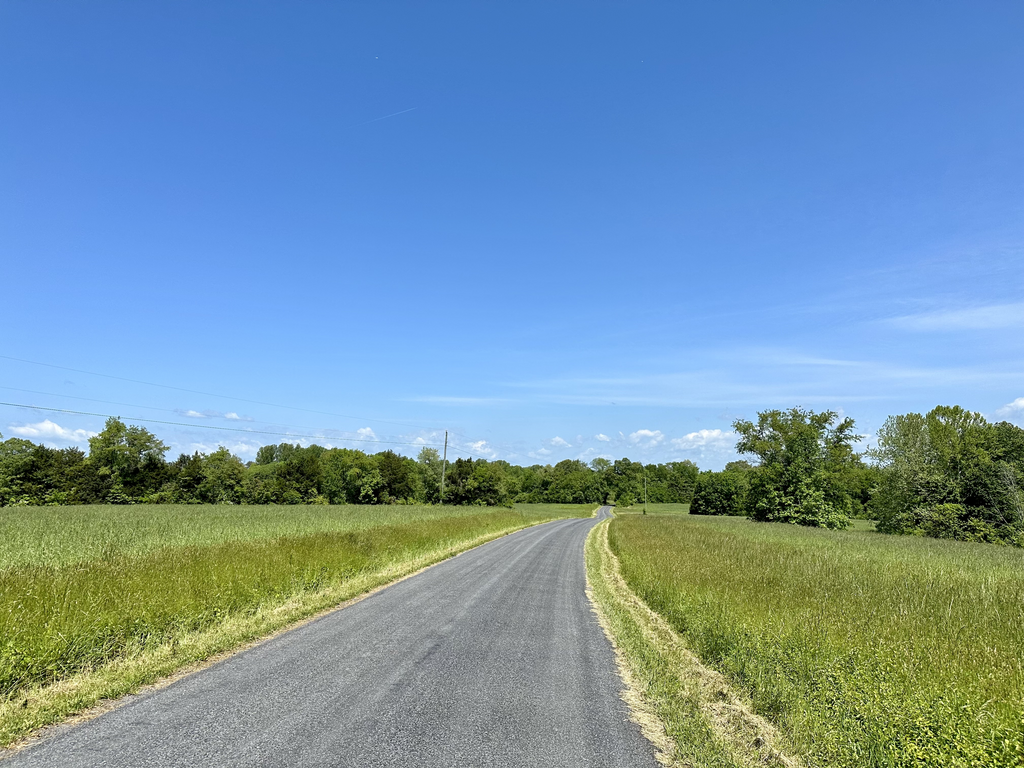
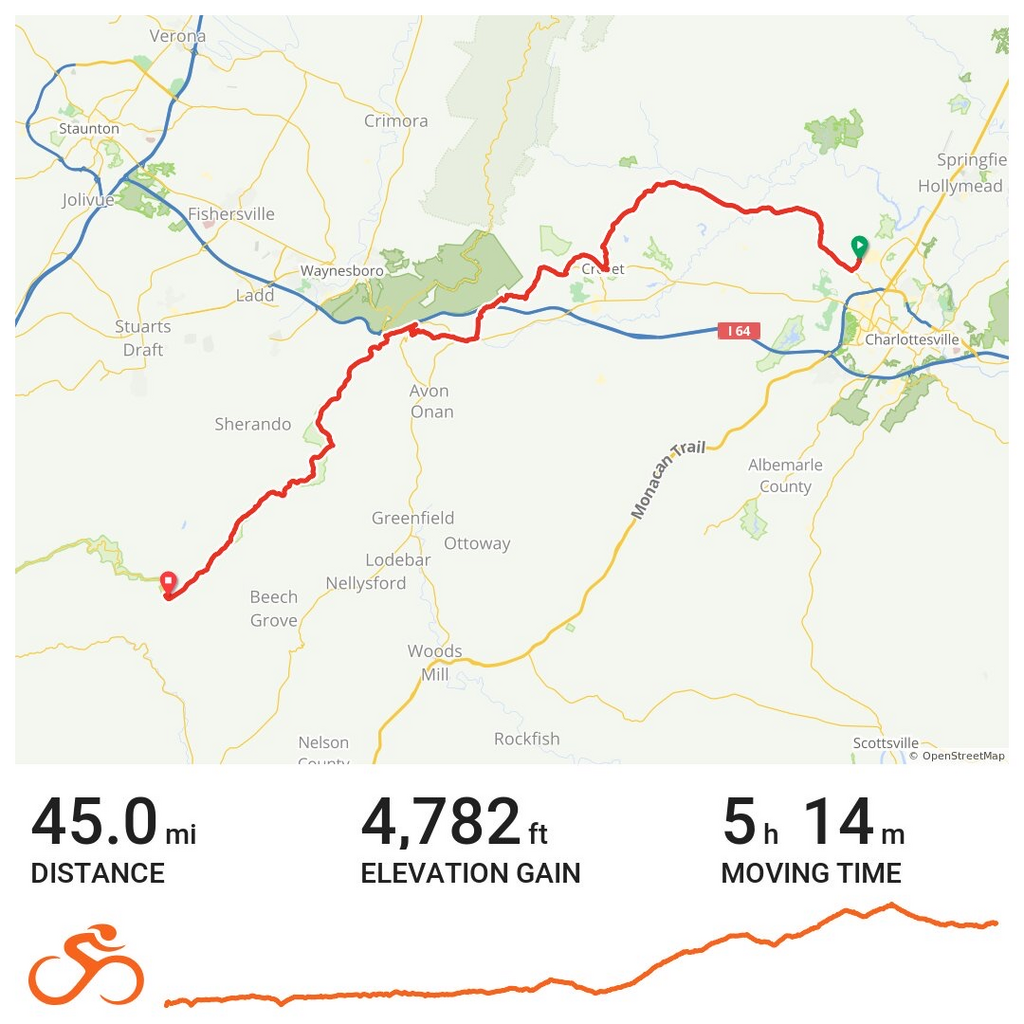
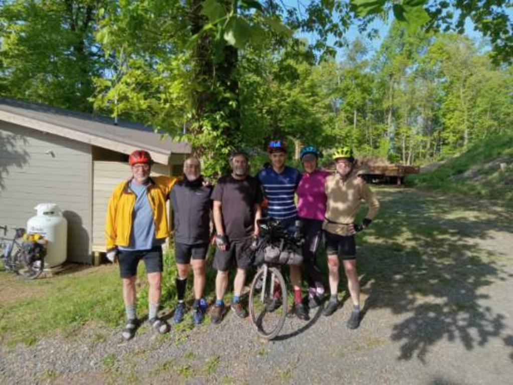
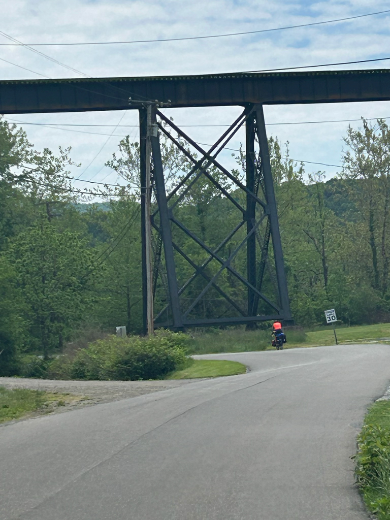
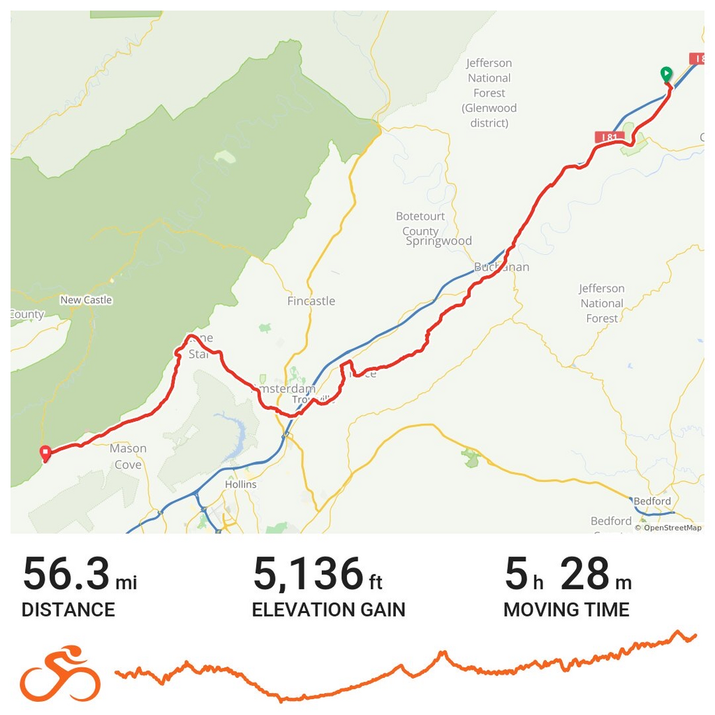
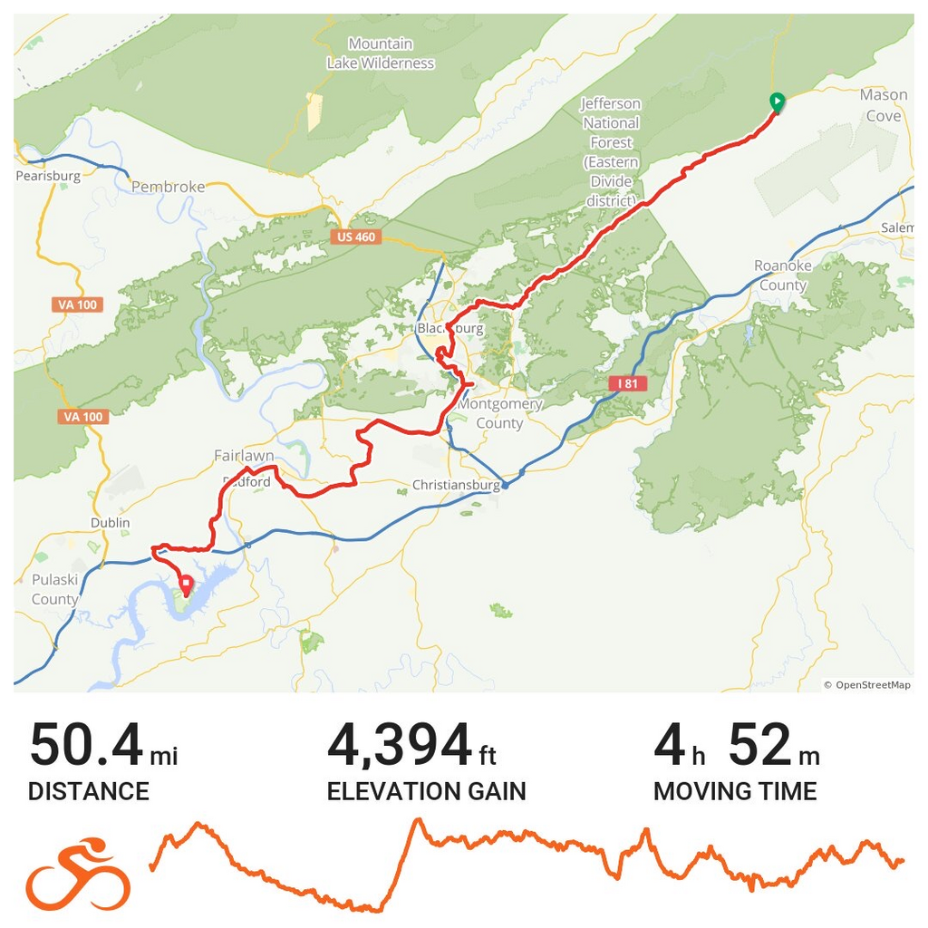
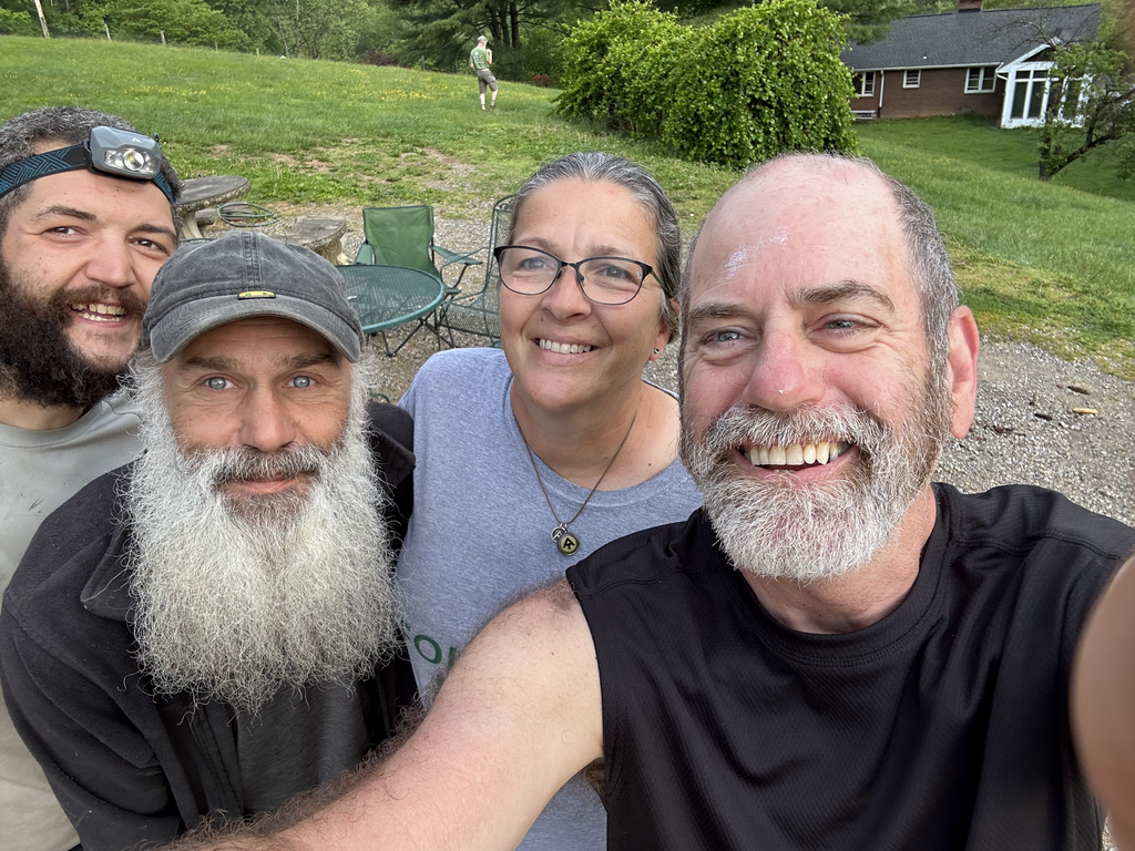
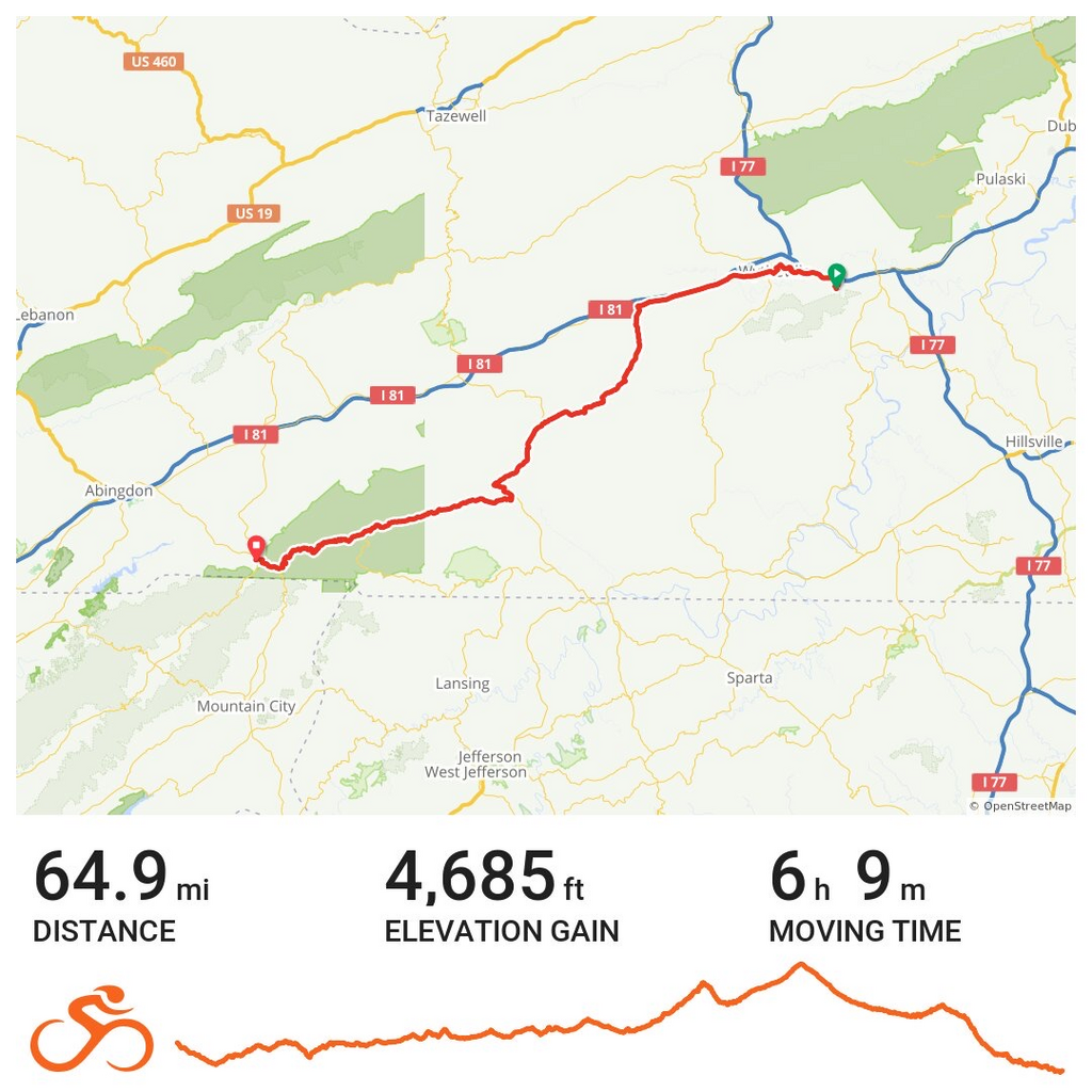
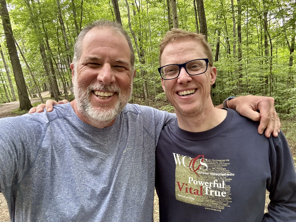
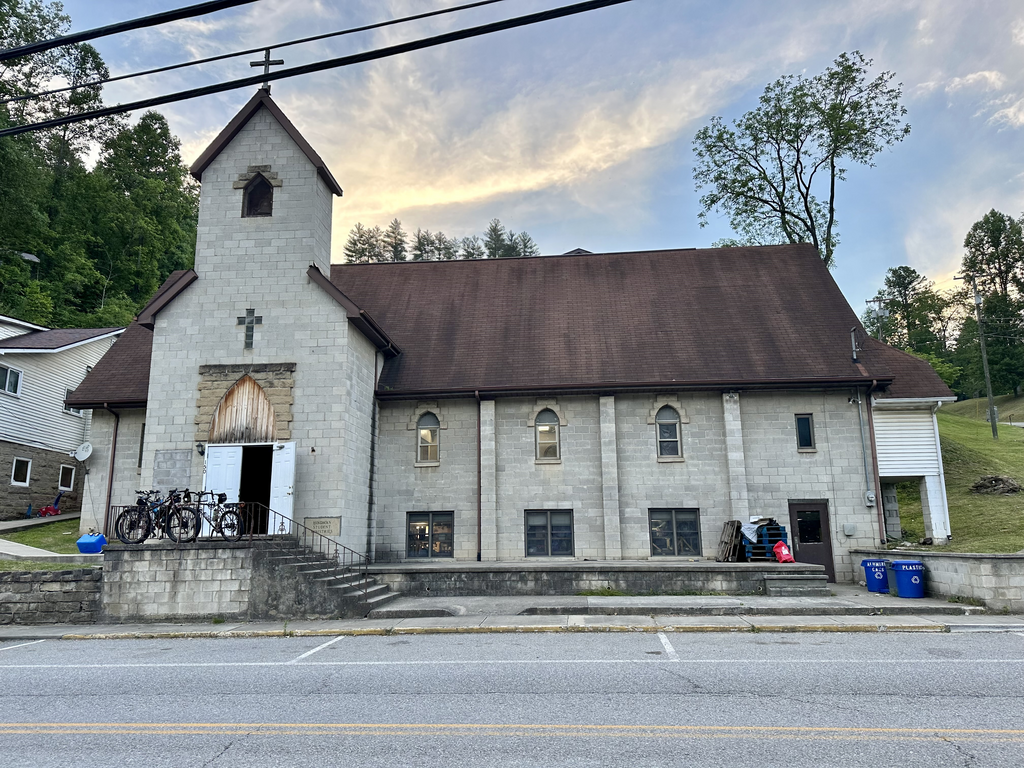
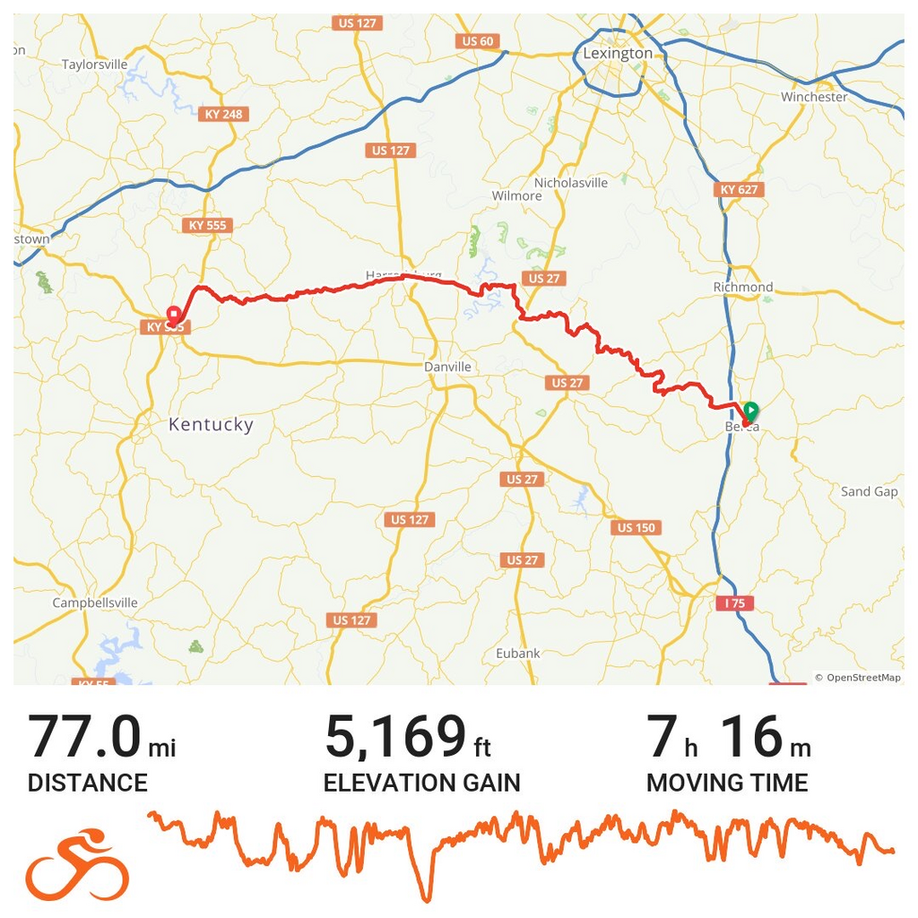
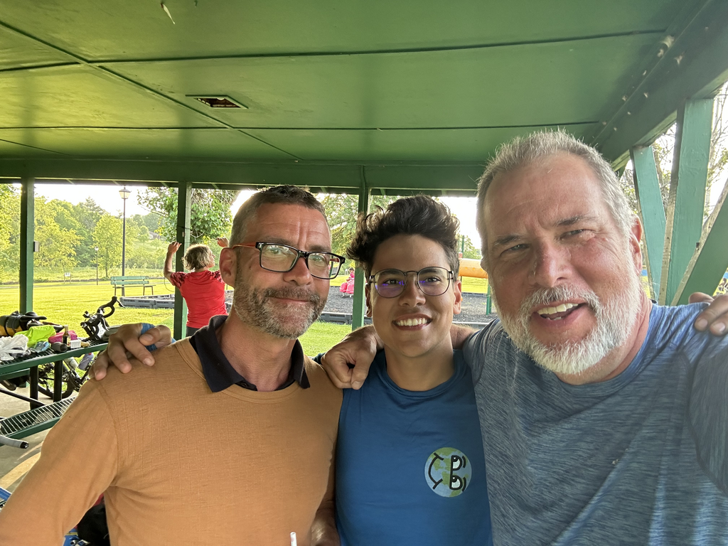
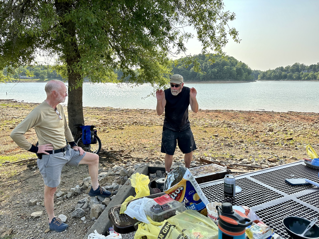
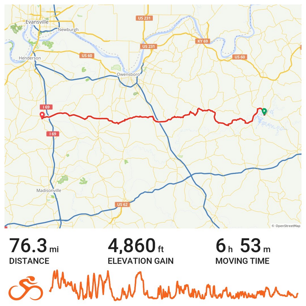
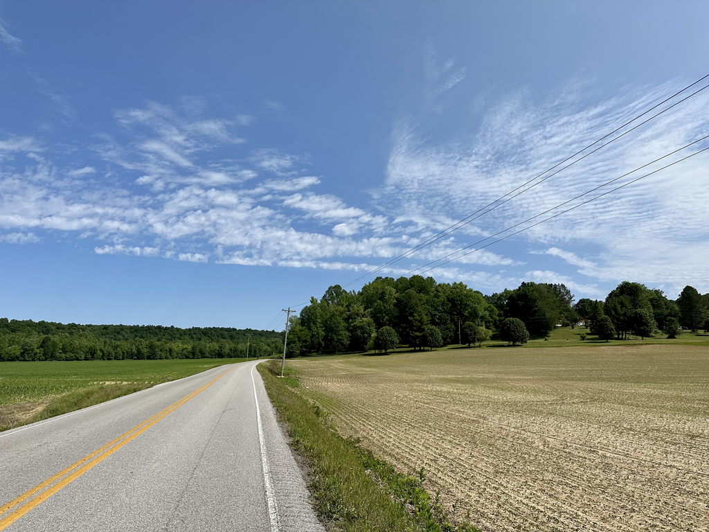
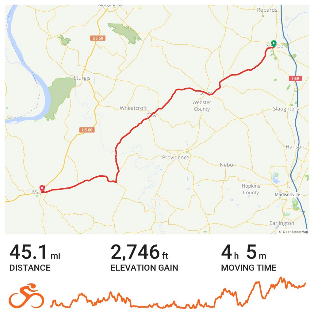
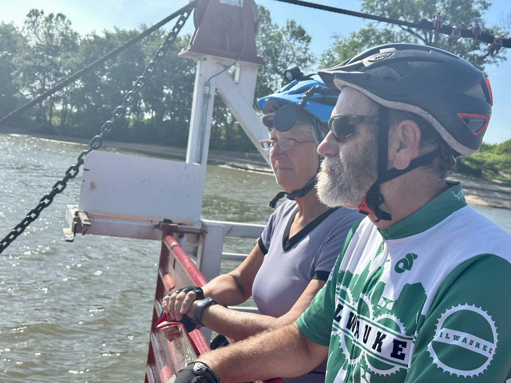
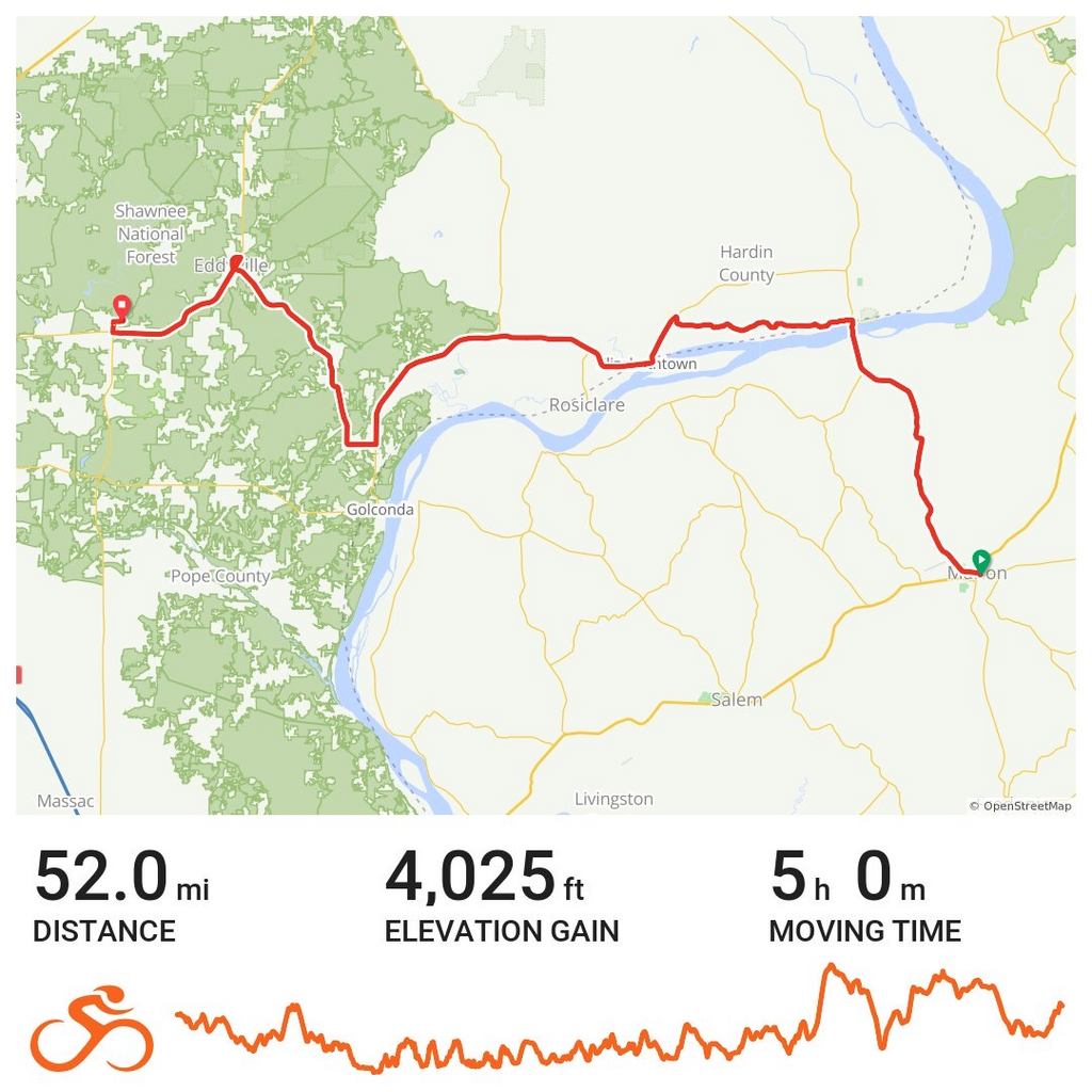
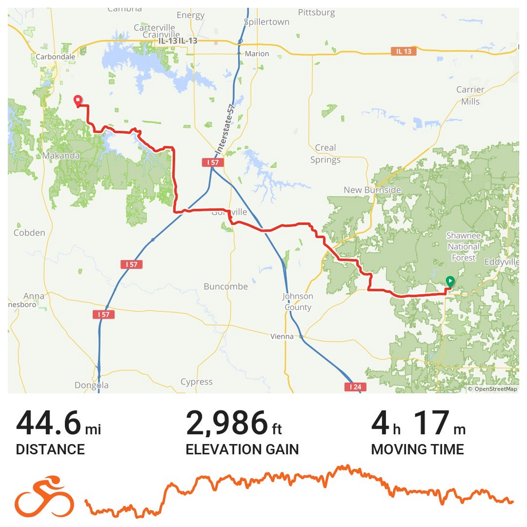
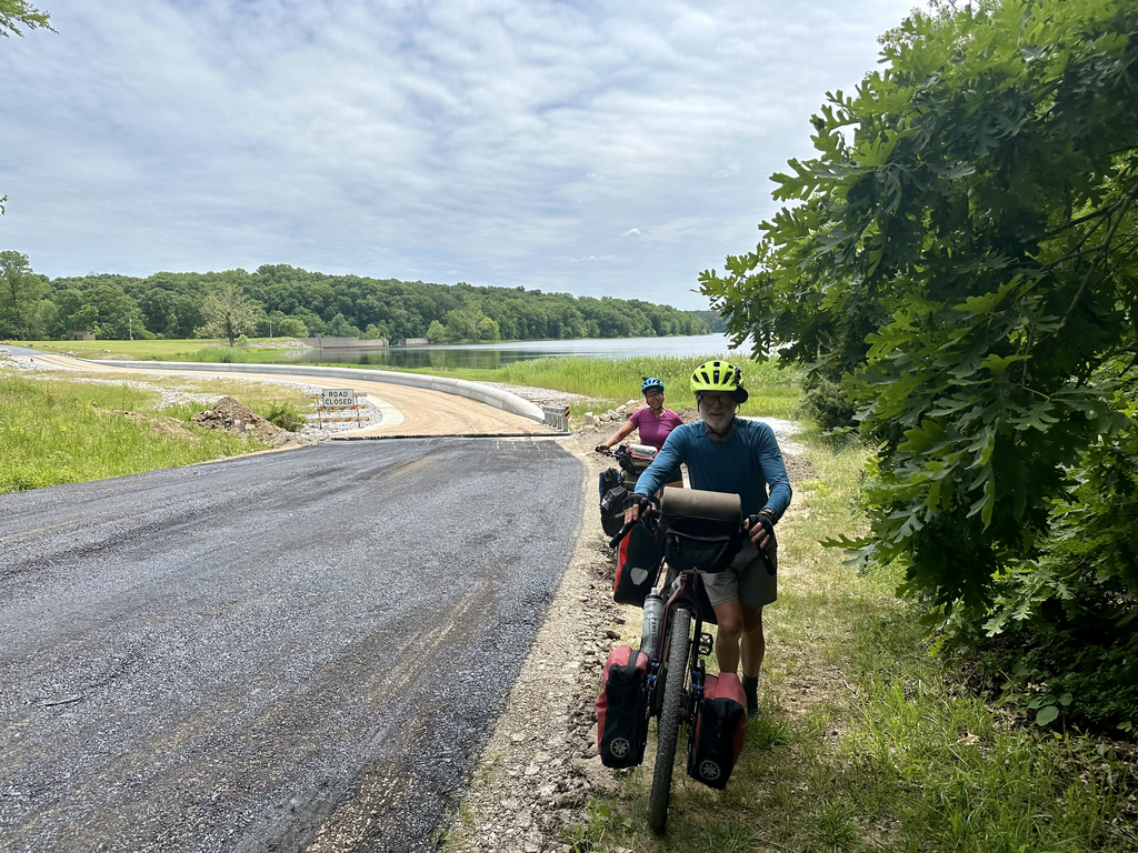
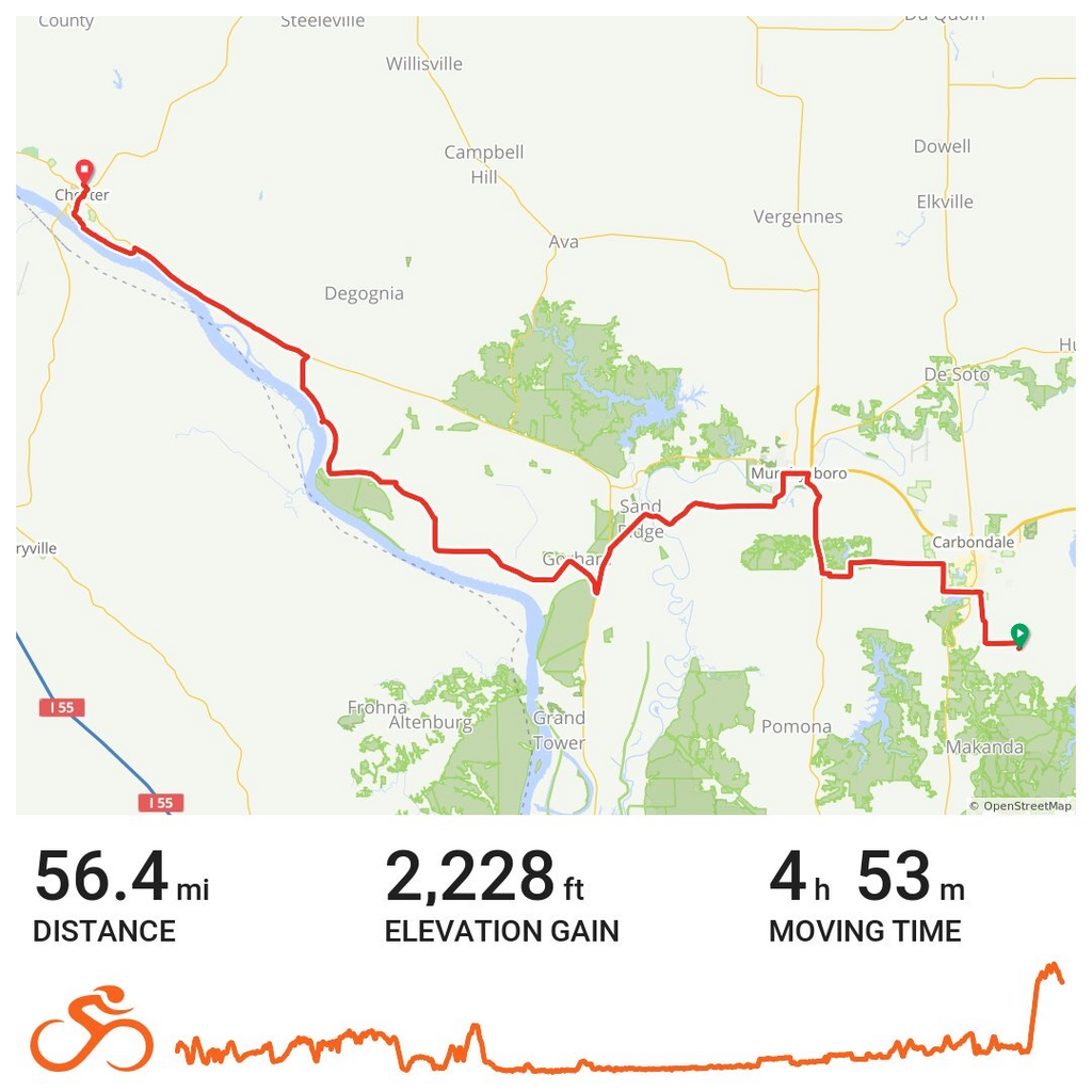
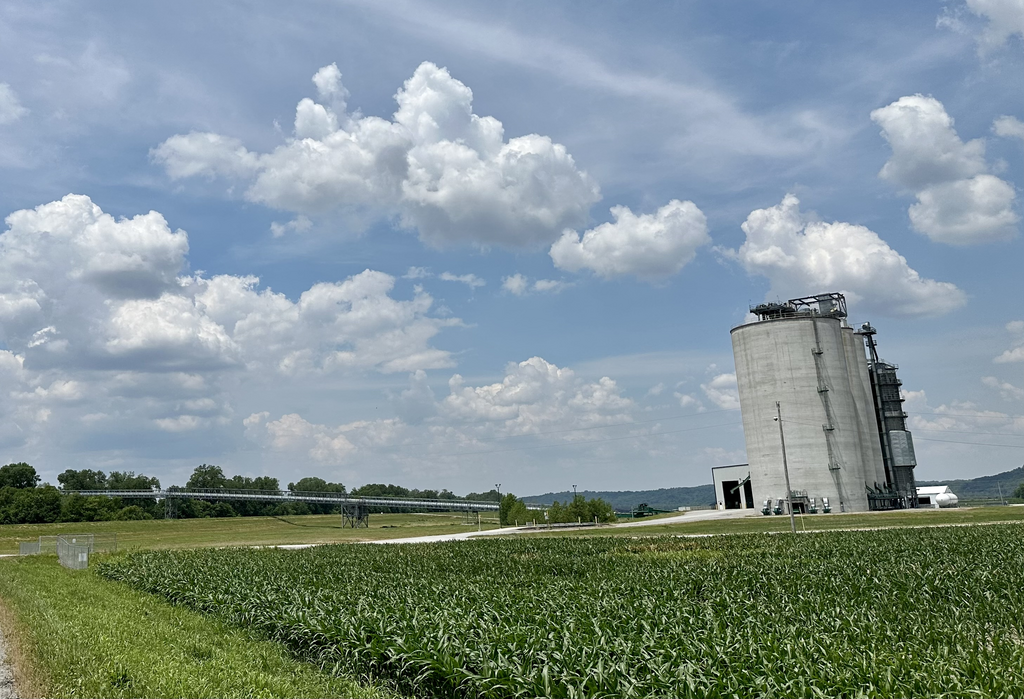
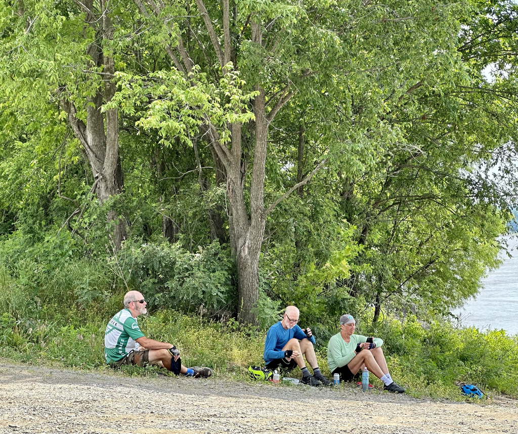
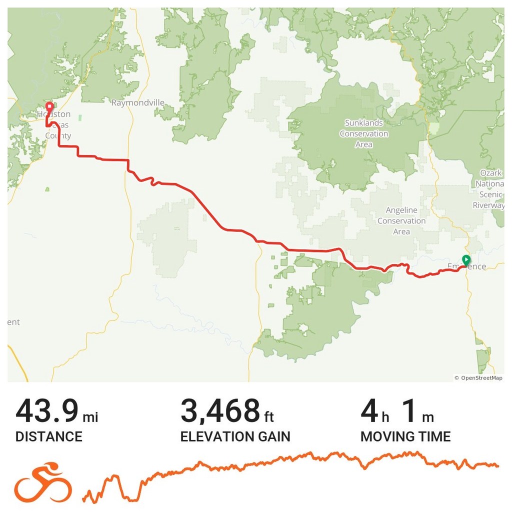
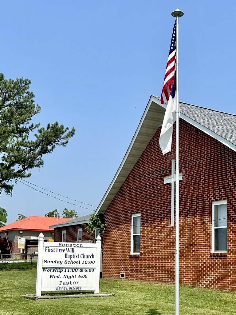
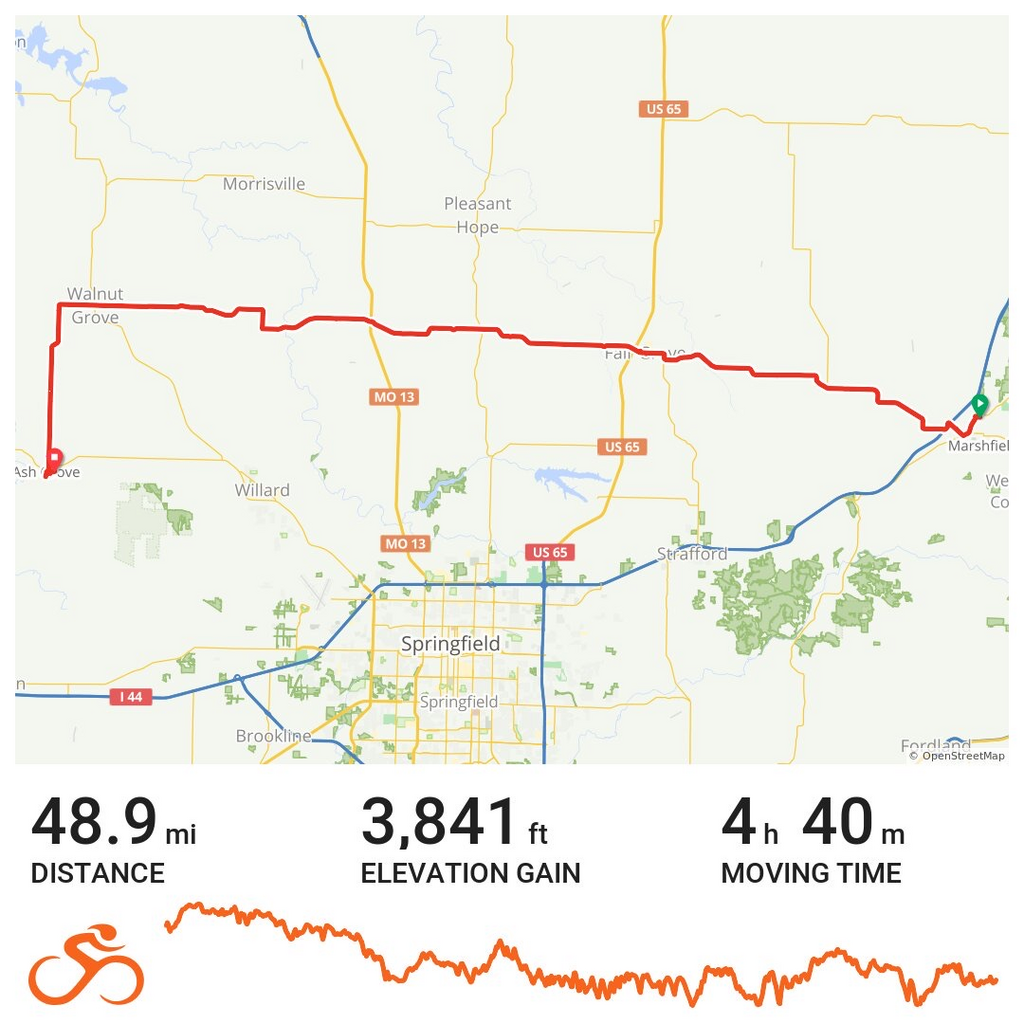
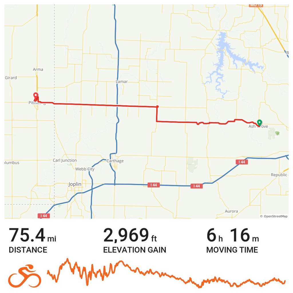
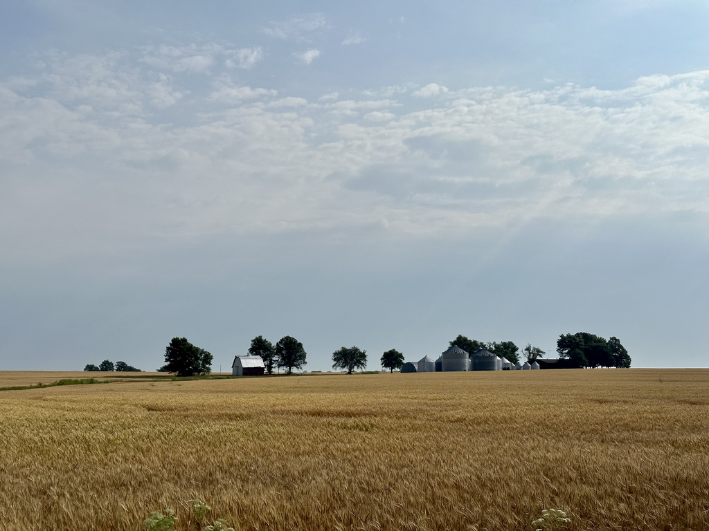
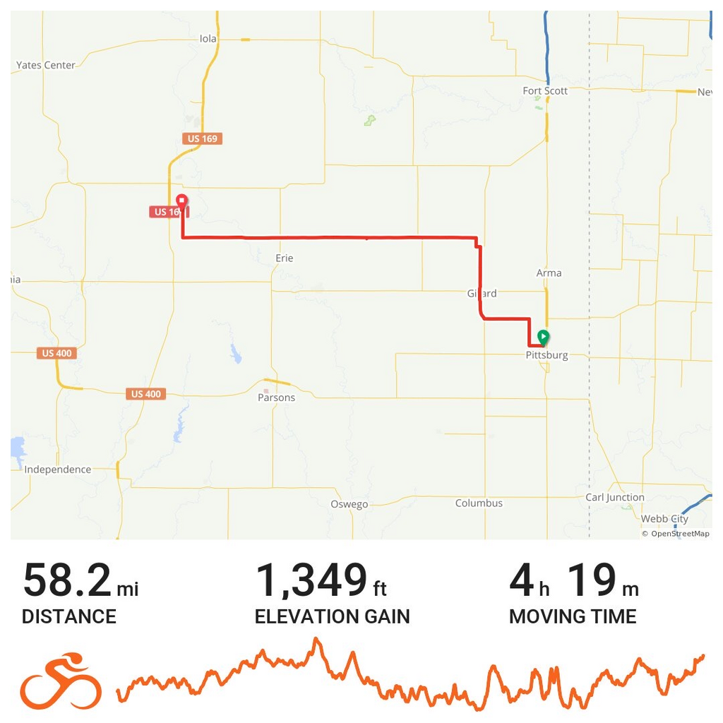
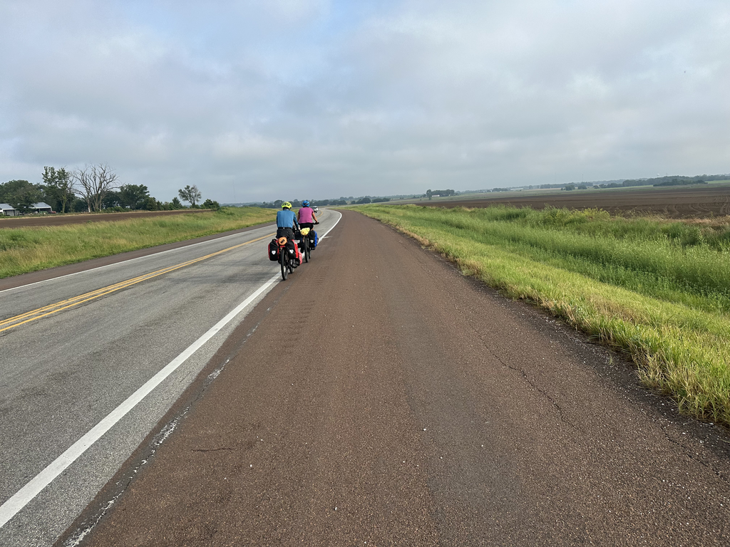
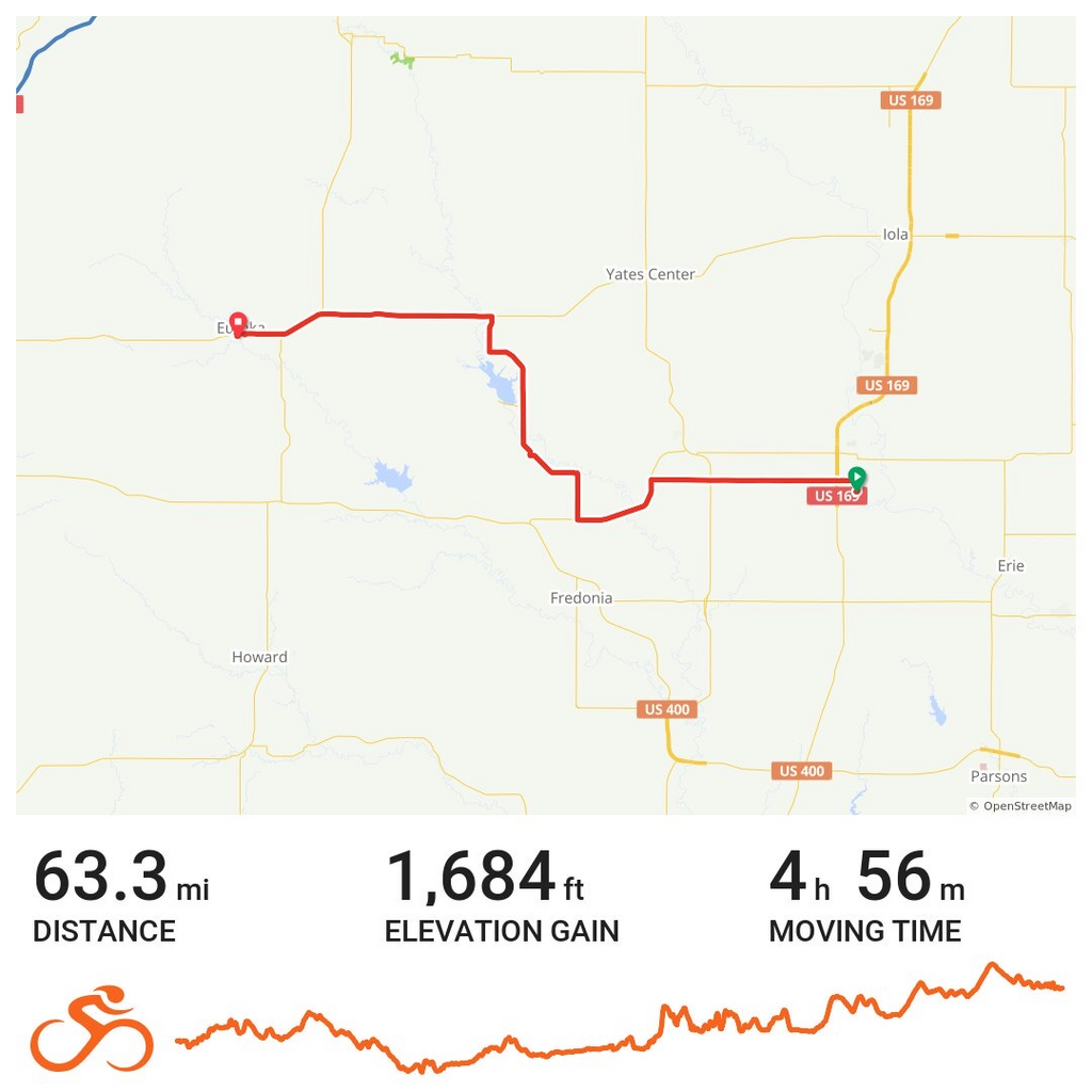
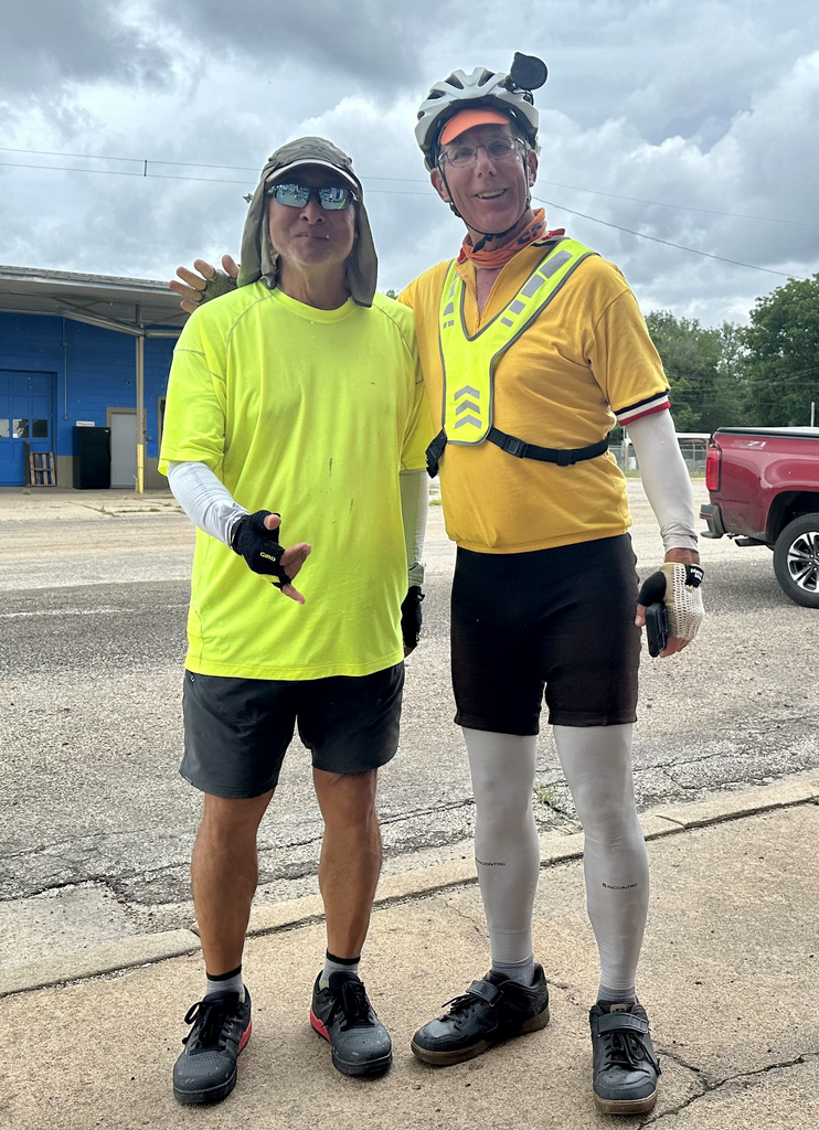
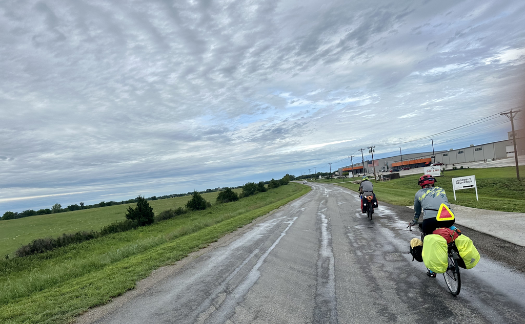
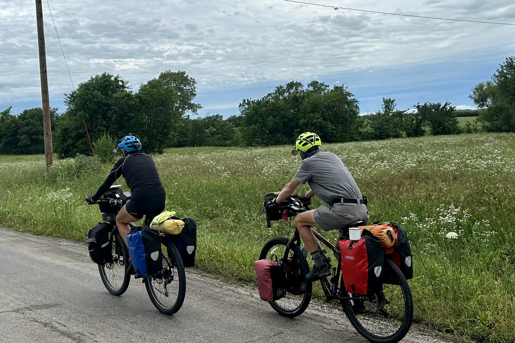
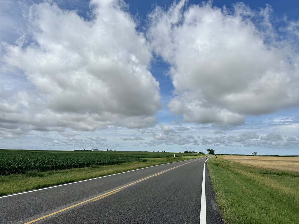
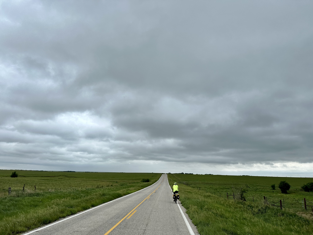
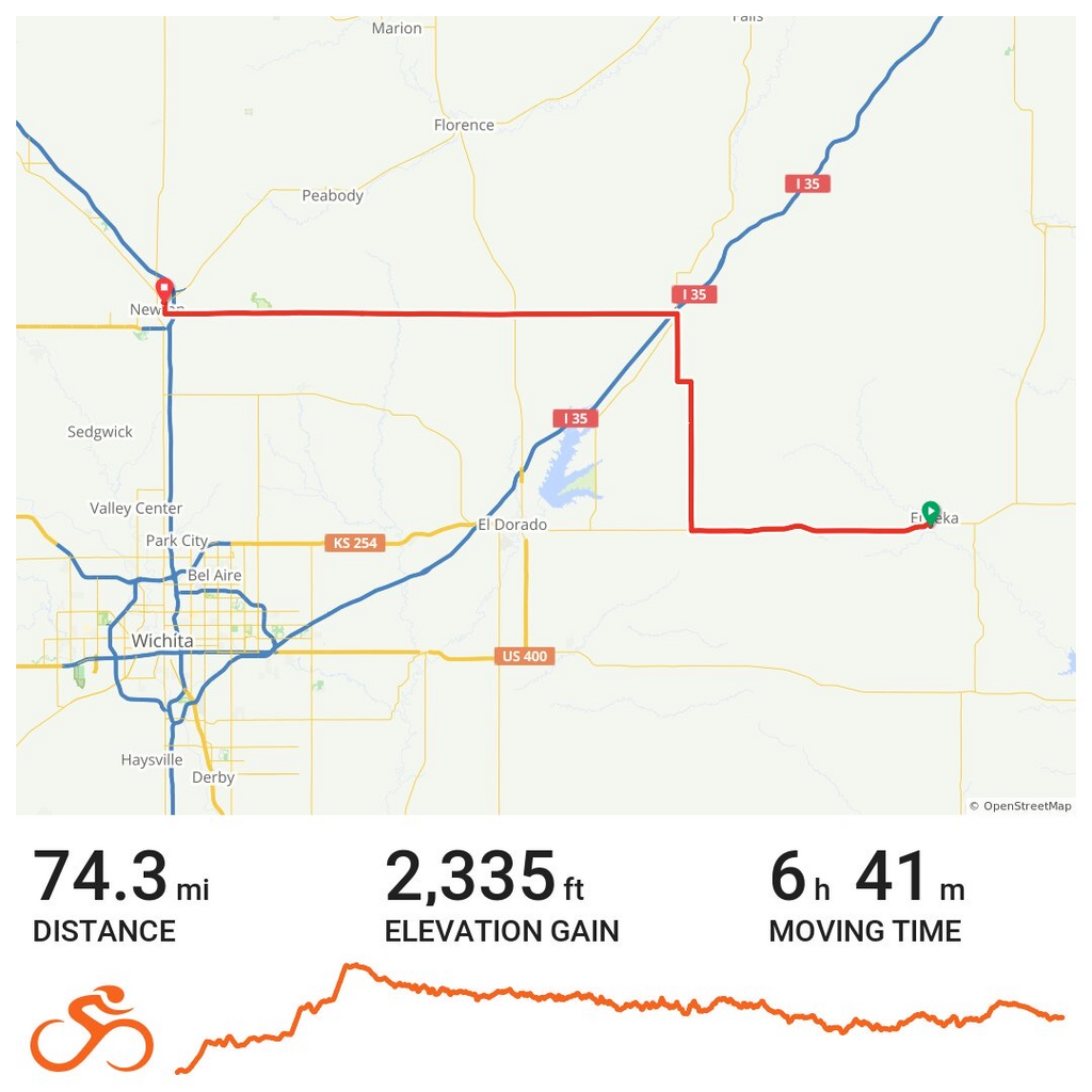
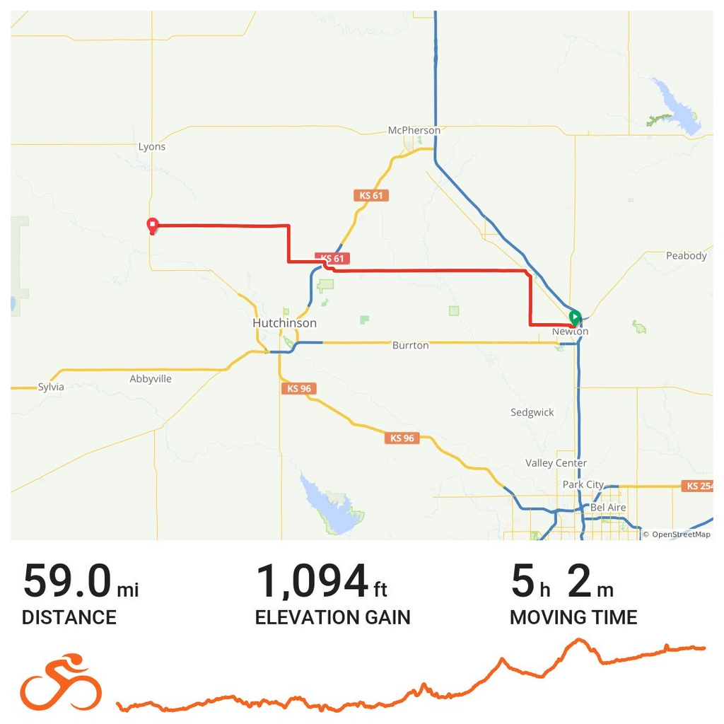
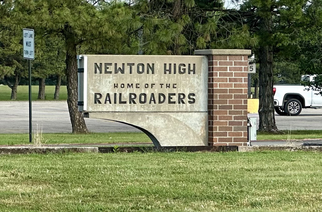
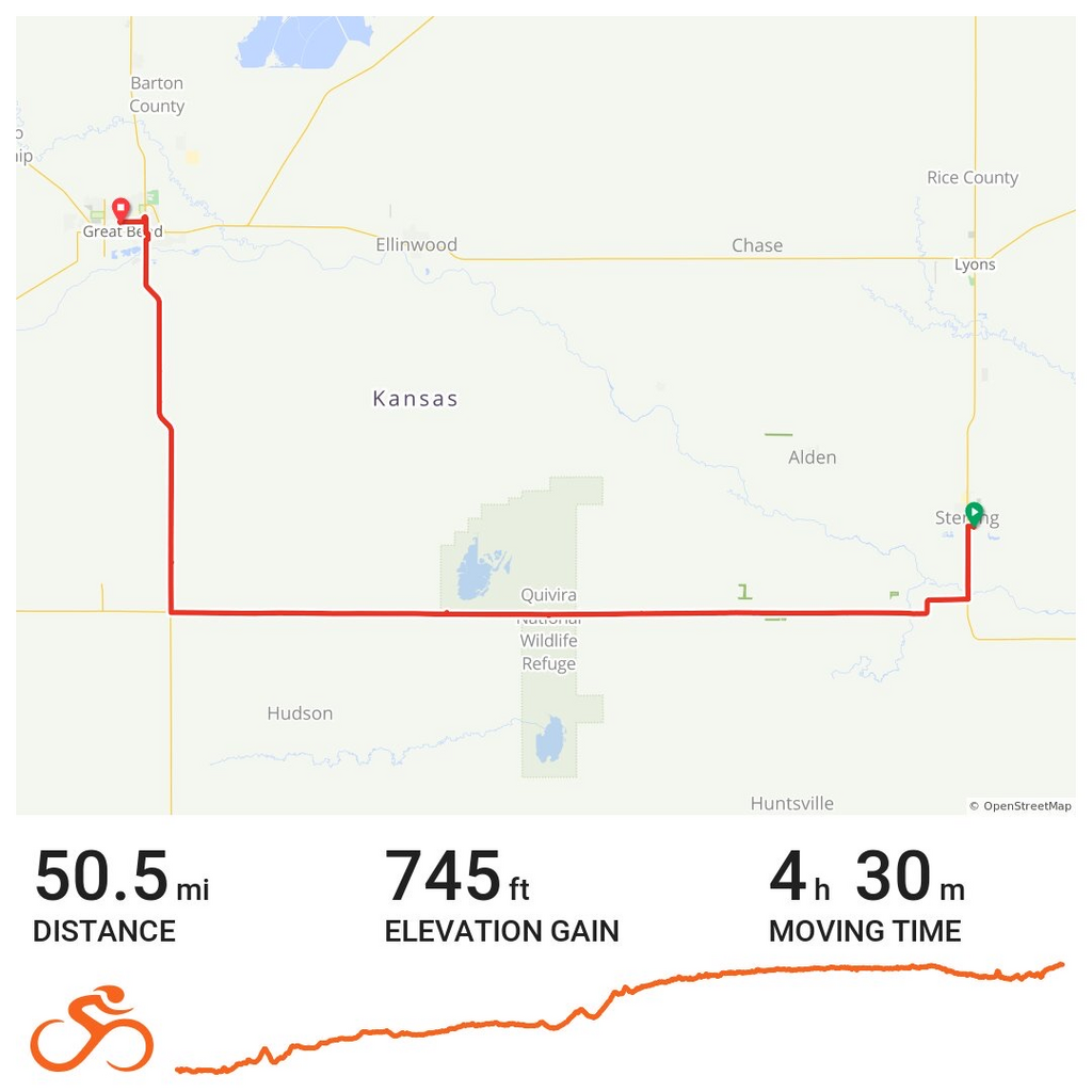
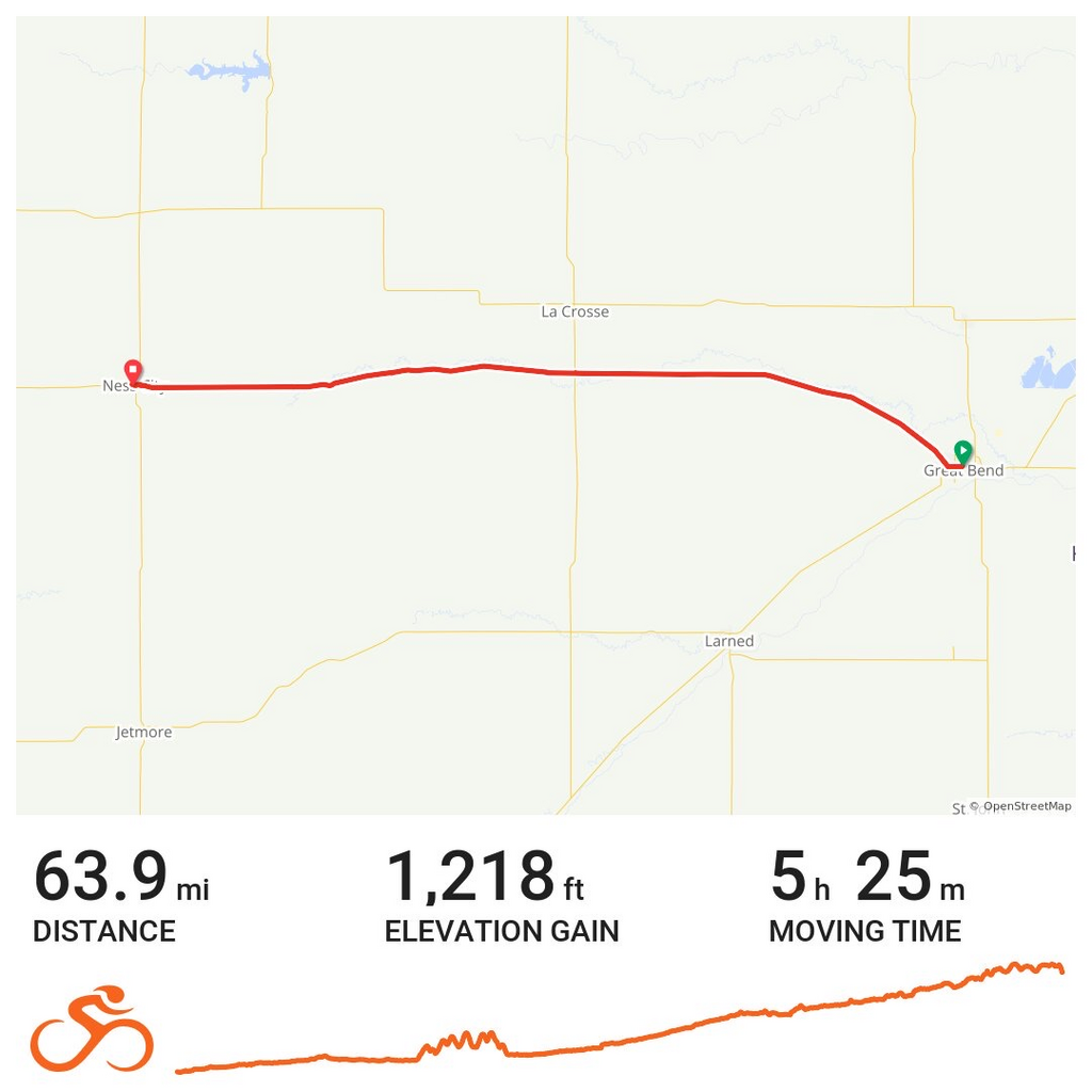
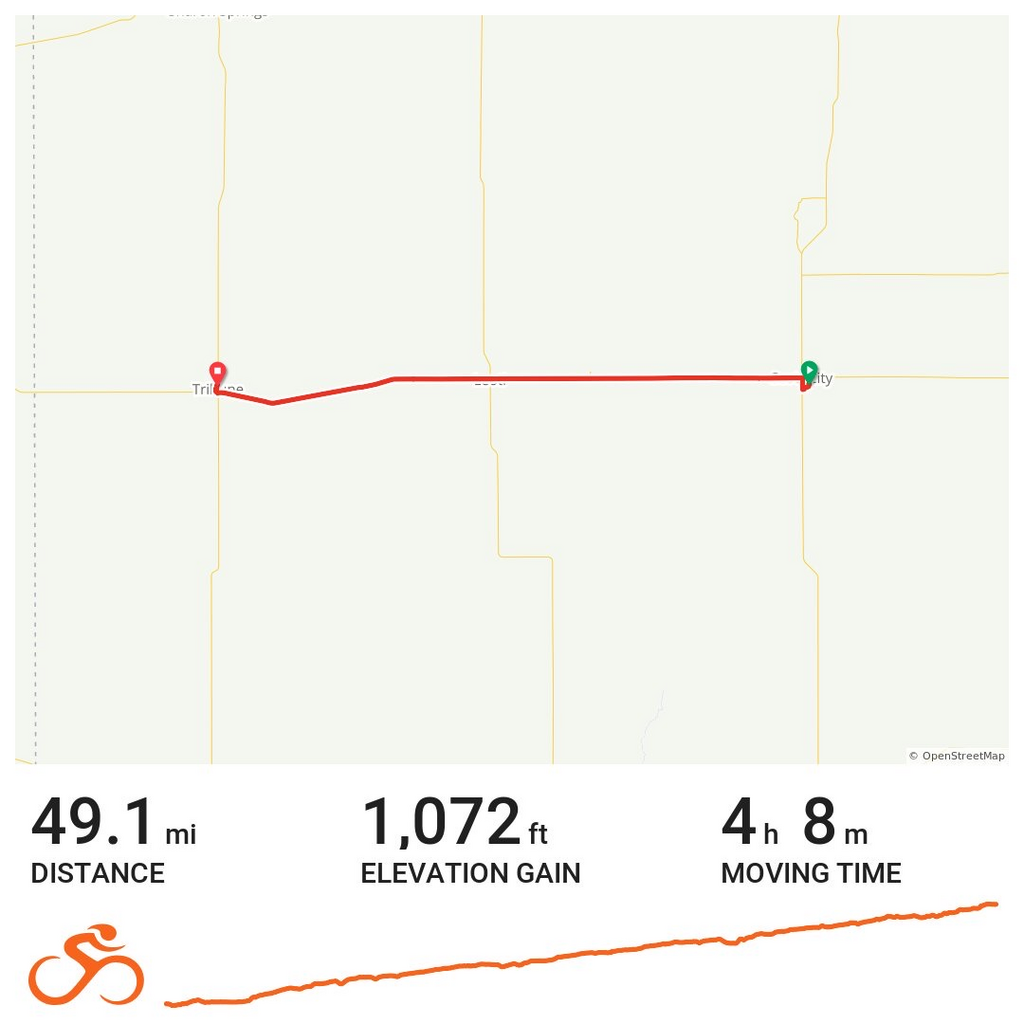
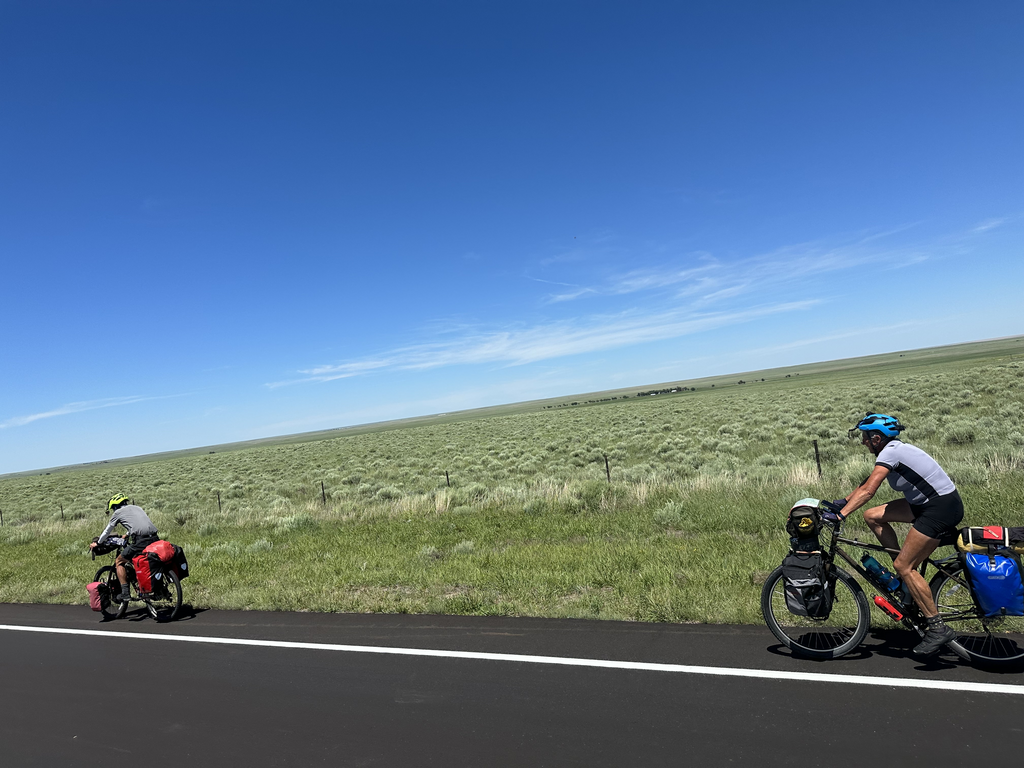
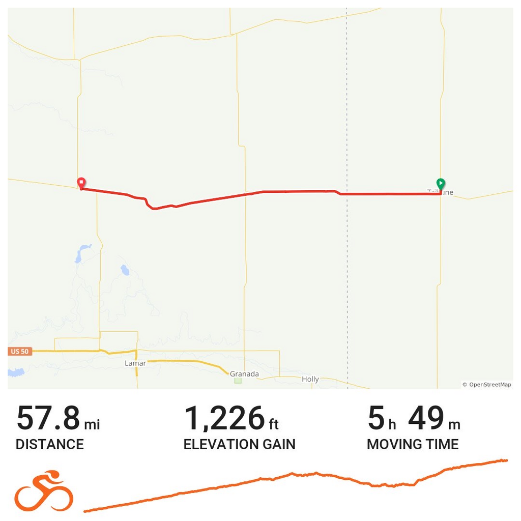
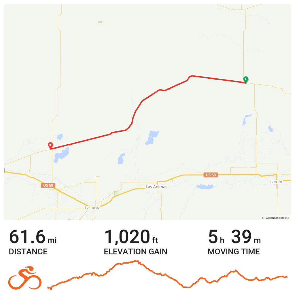
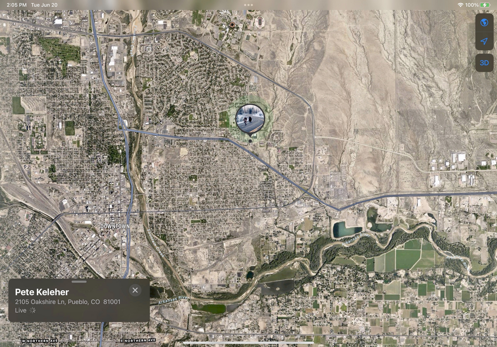
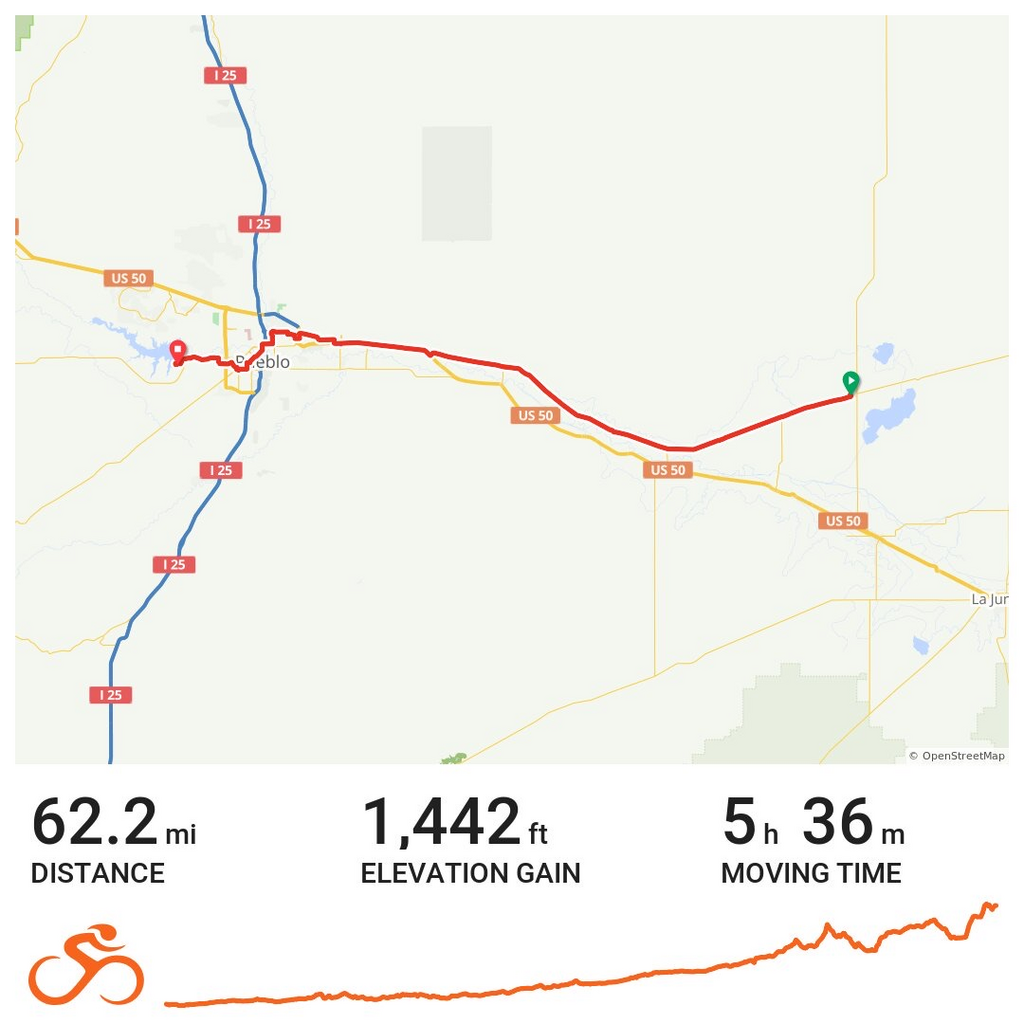
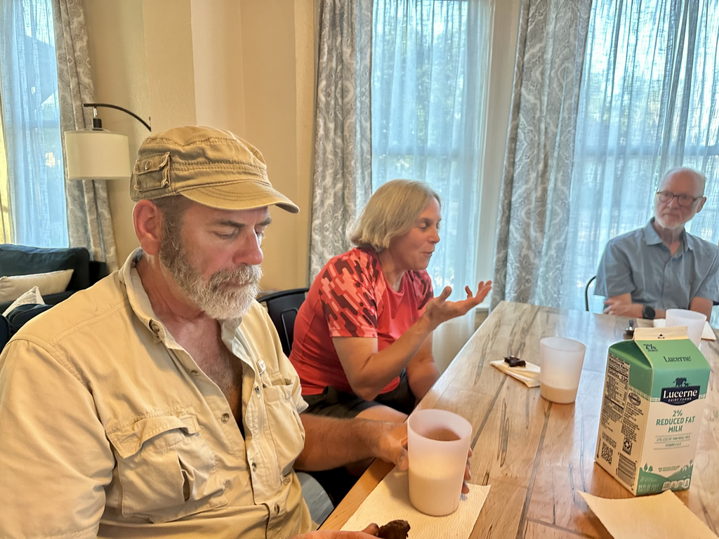
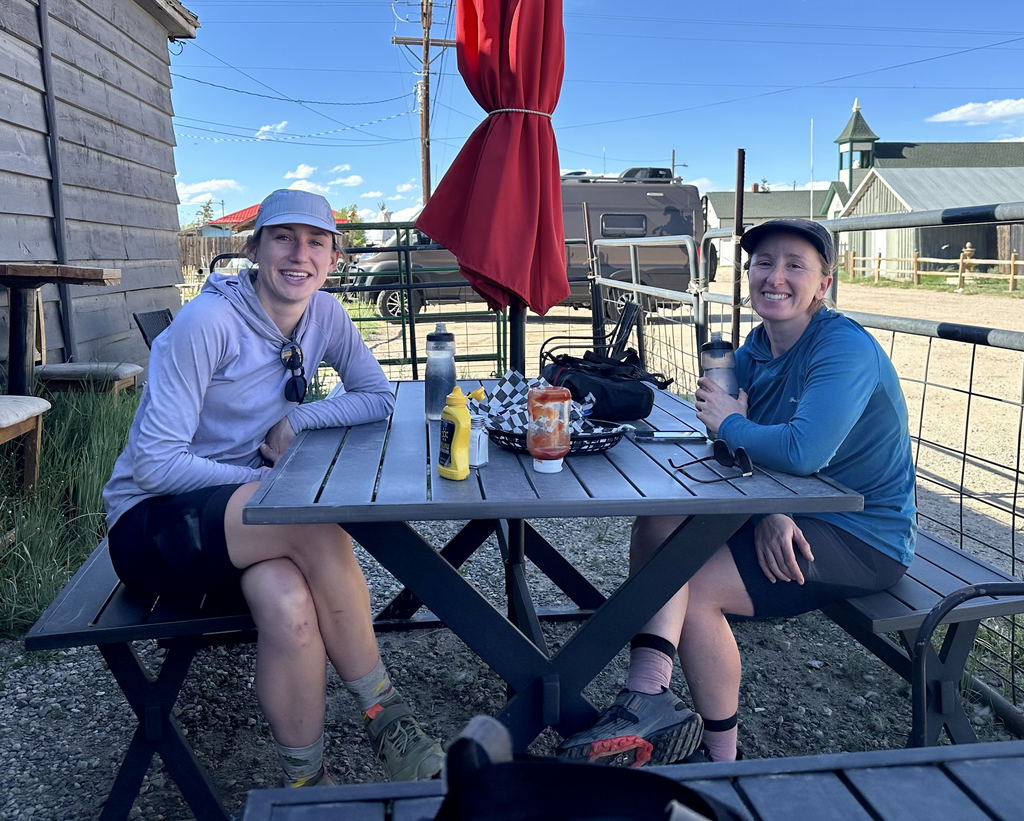
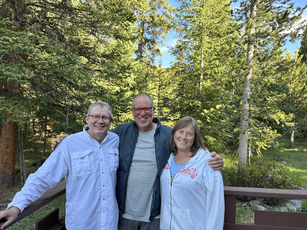
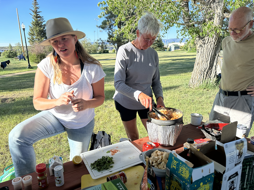
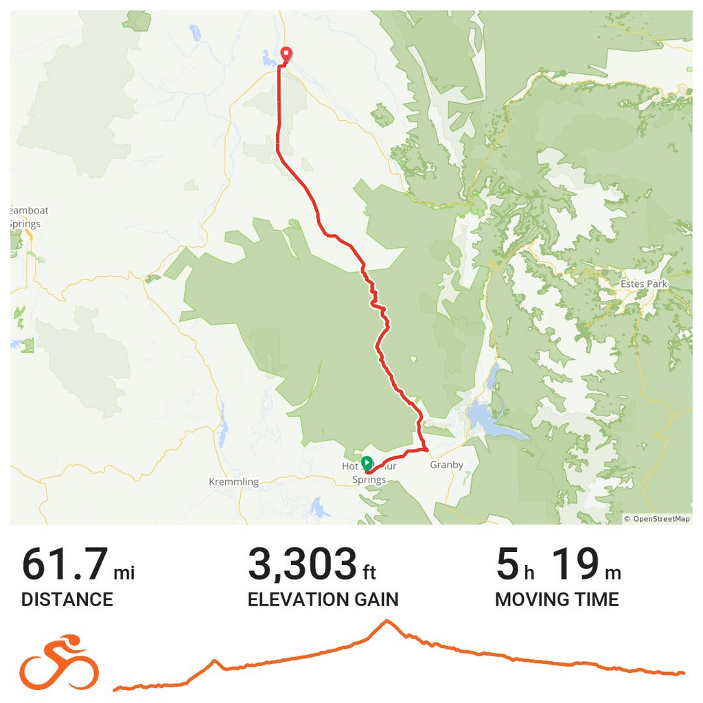
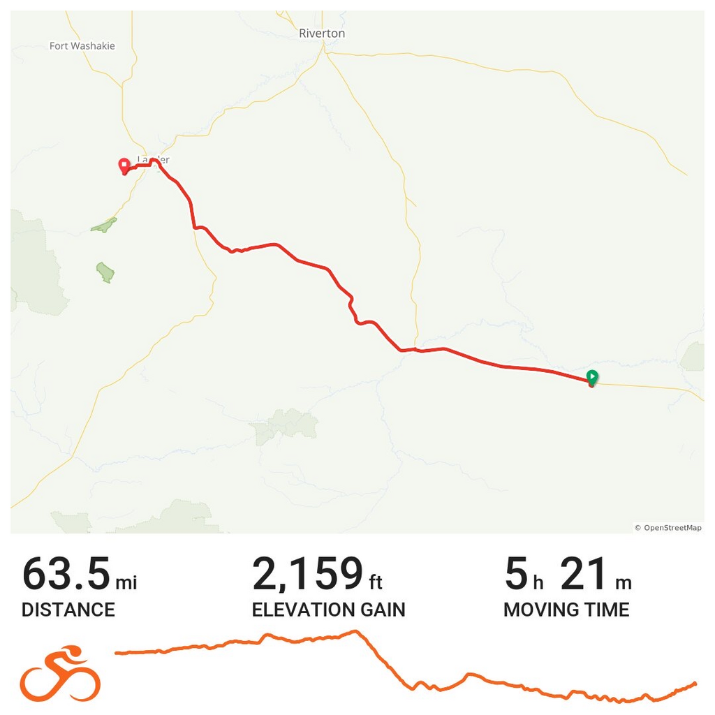
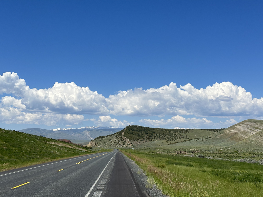
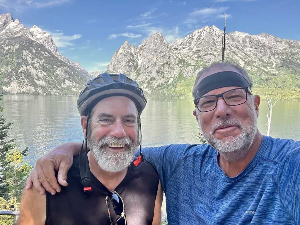
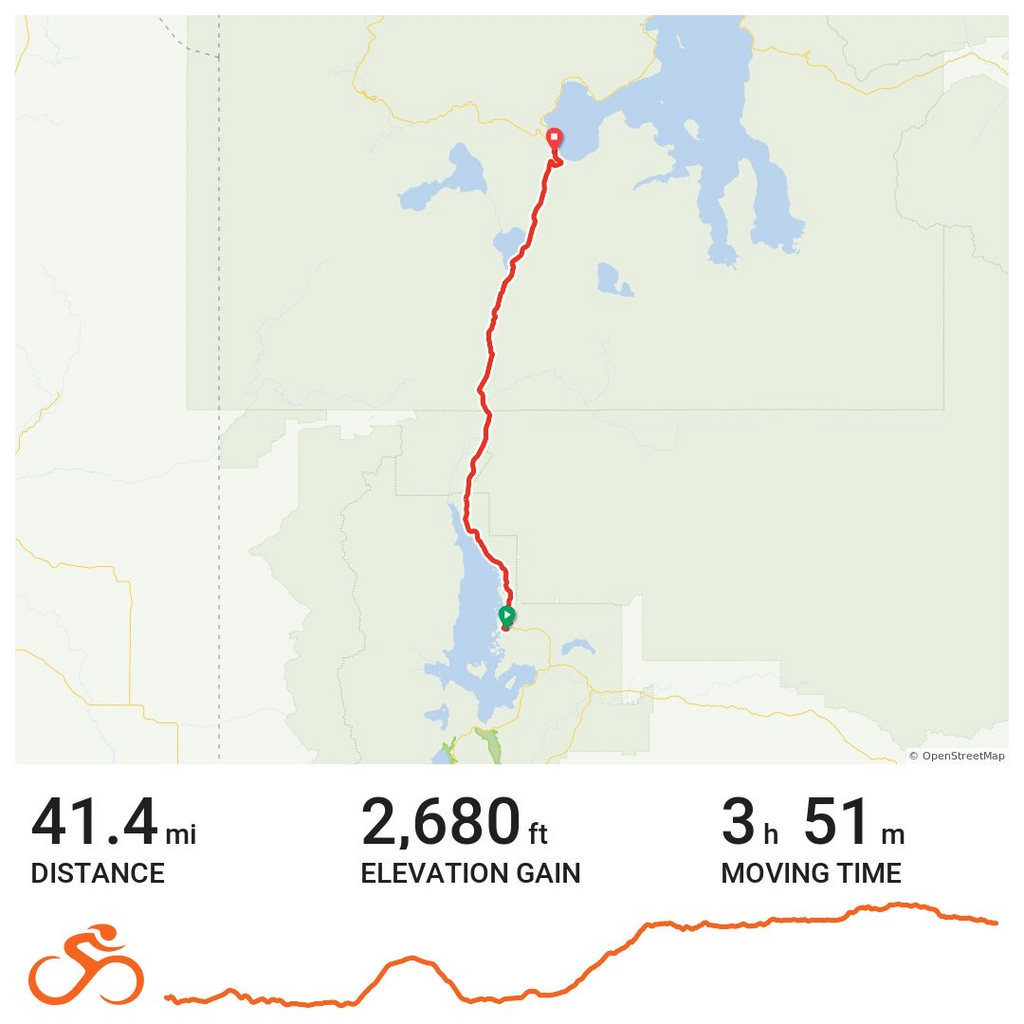
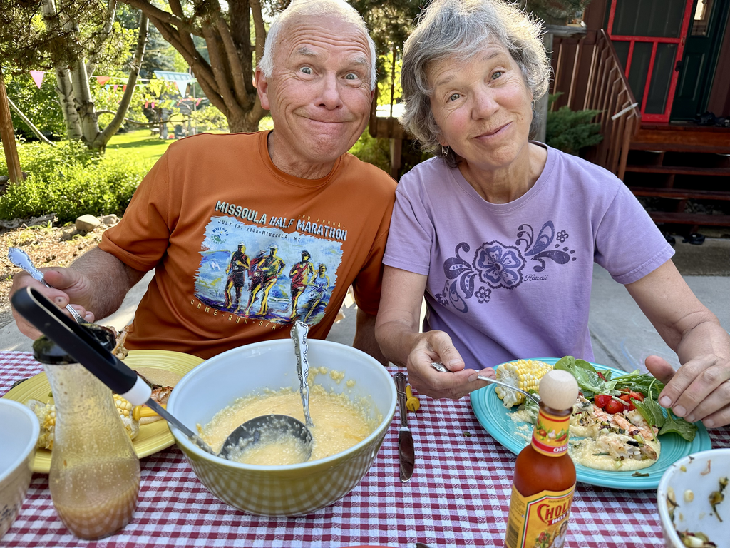
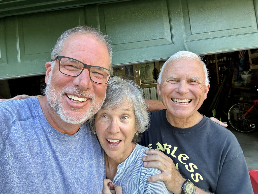
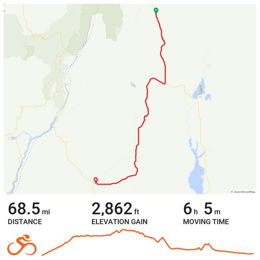
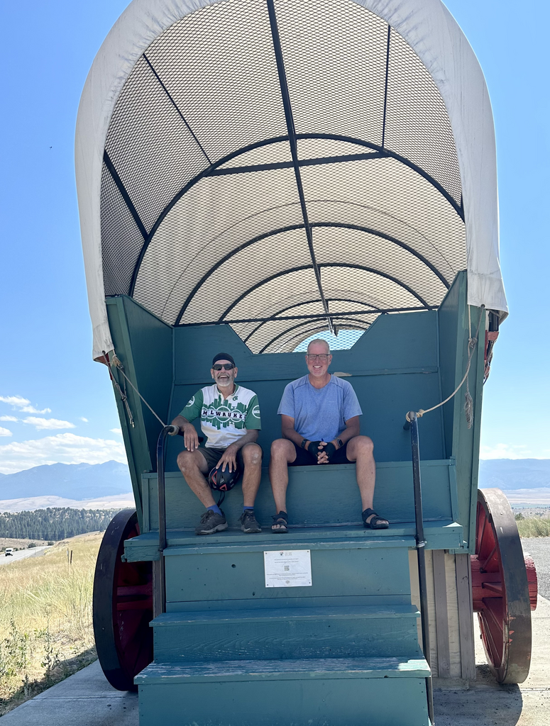
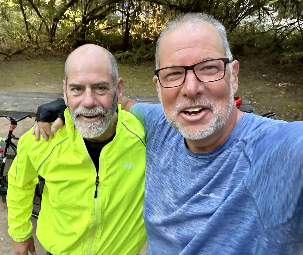
Tim, Mark, Paula, Geri, William, Stephane, and I are converging on Yorktown Beach and will meet for the first time this morning: May 4. Tomorrow we hit the road, starting with a 60-flat-mile roll through Williamsburg and headed west.
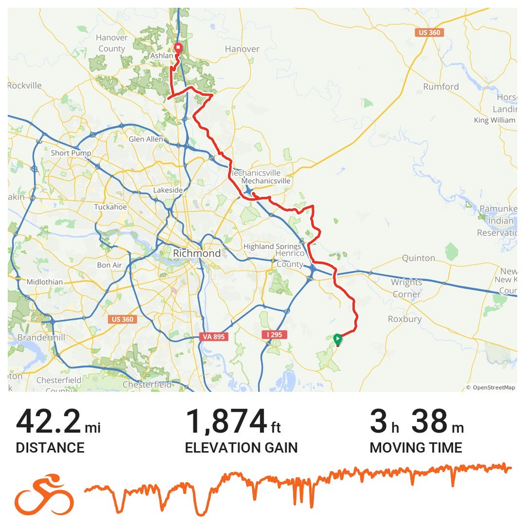
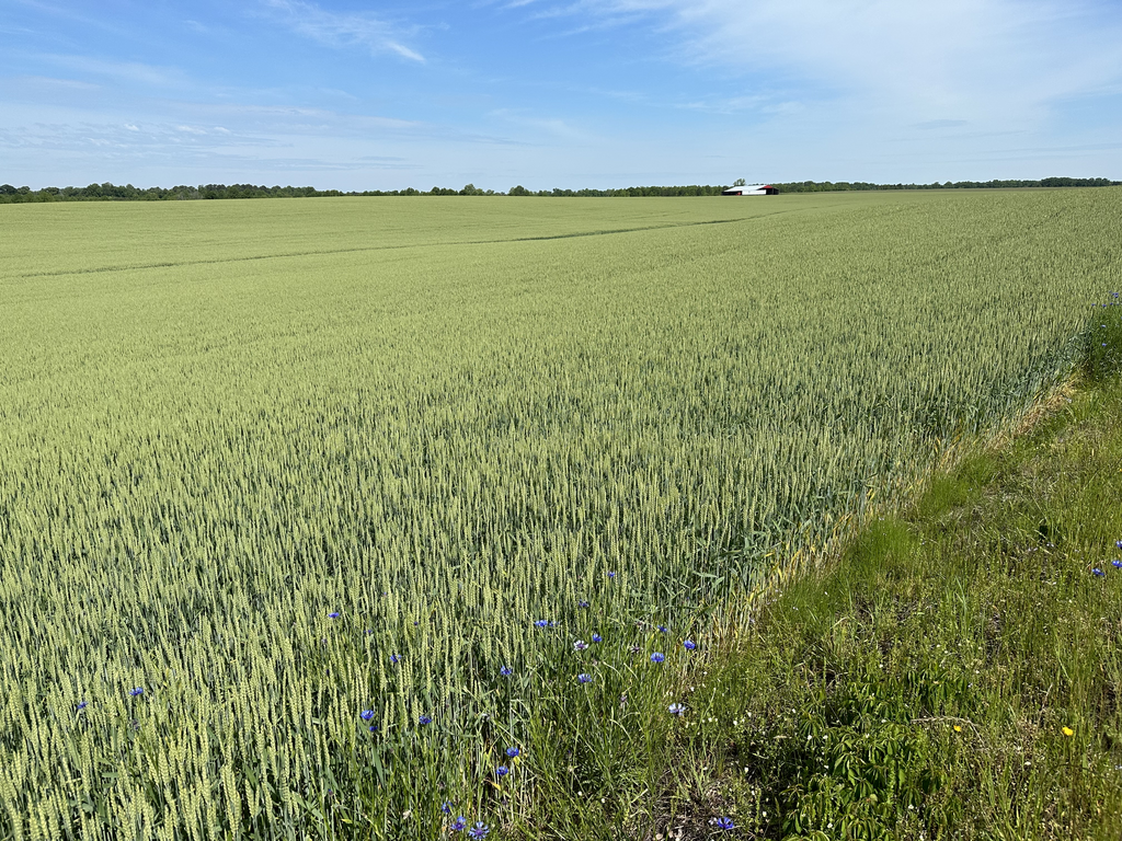
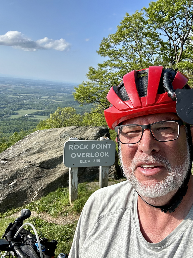
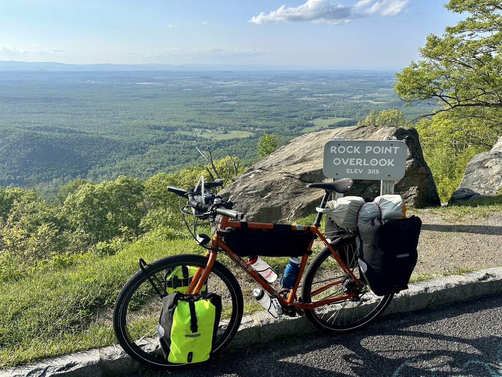
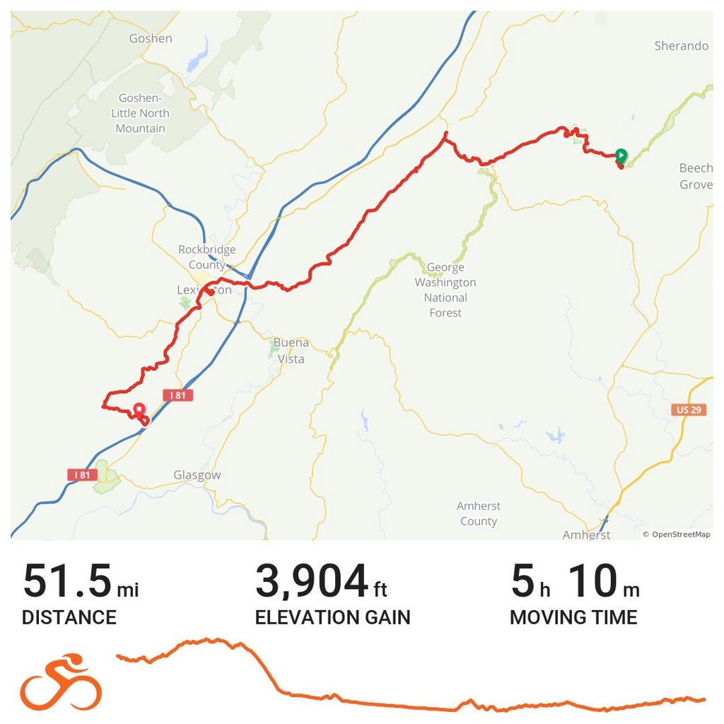
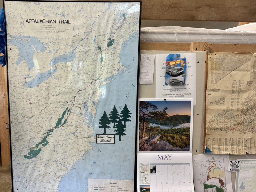
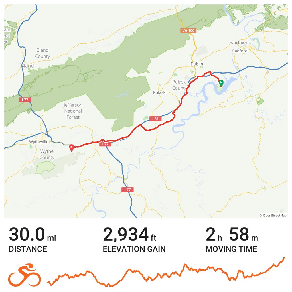
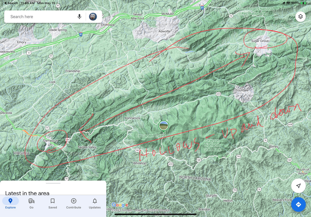
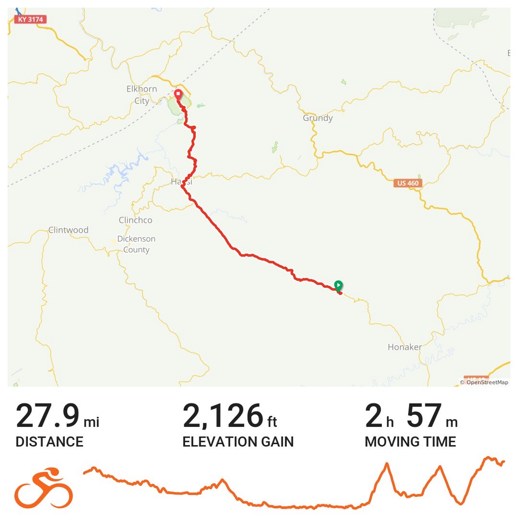
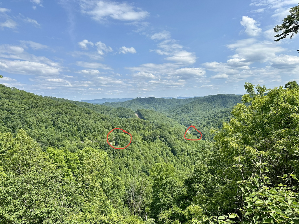
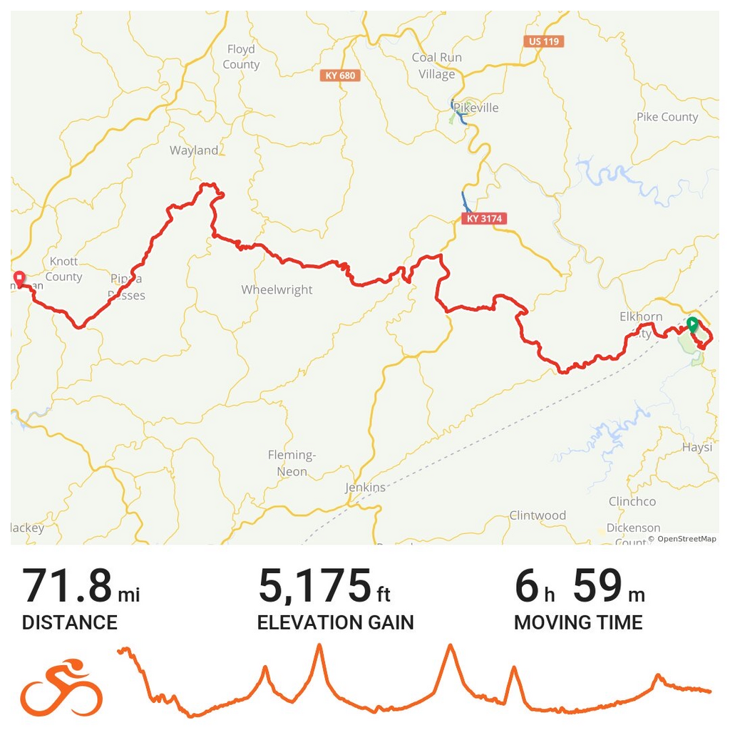
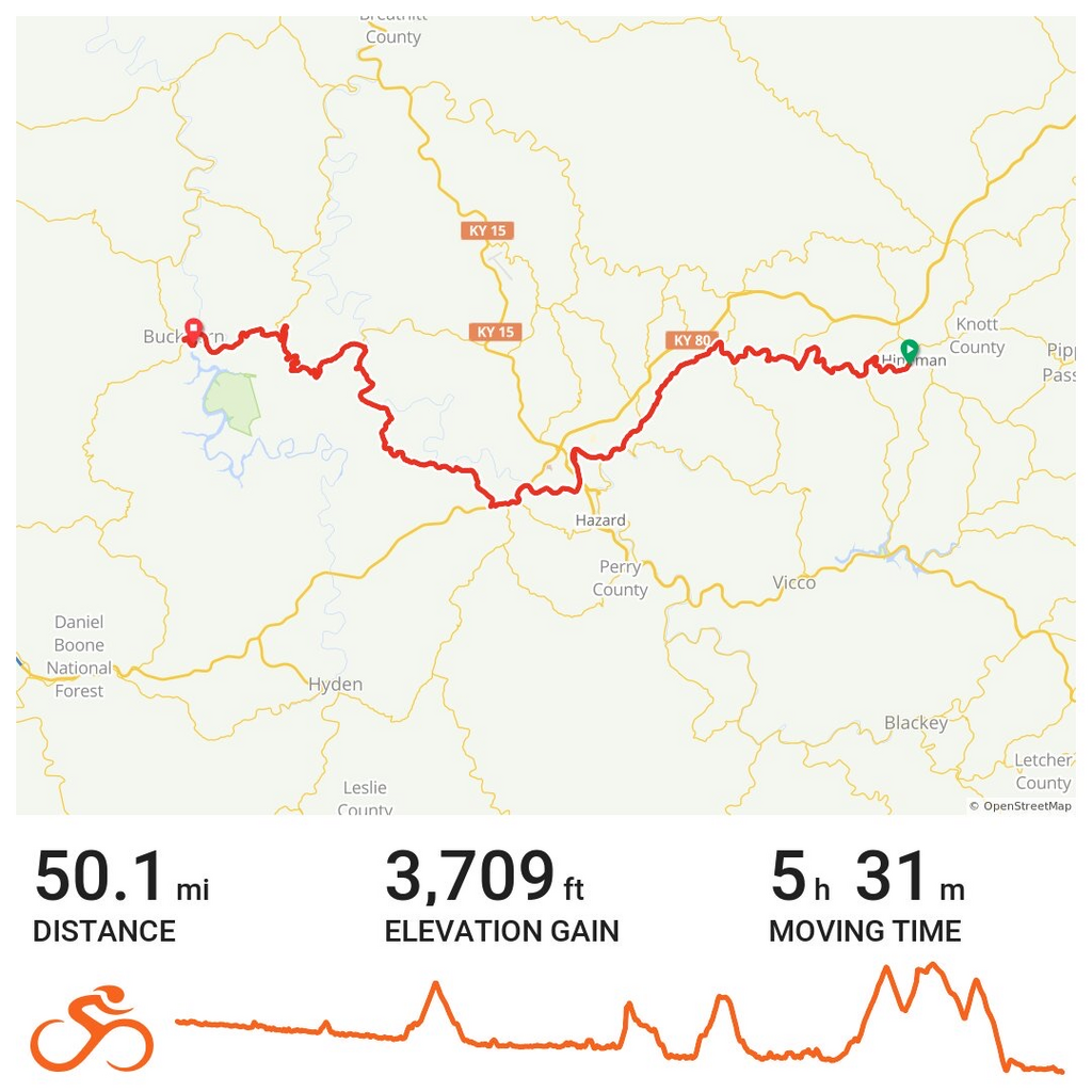
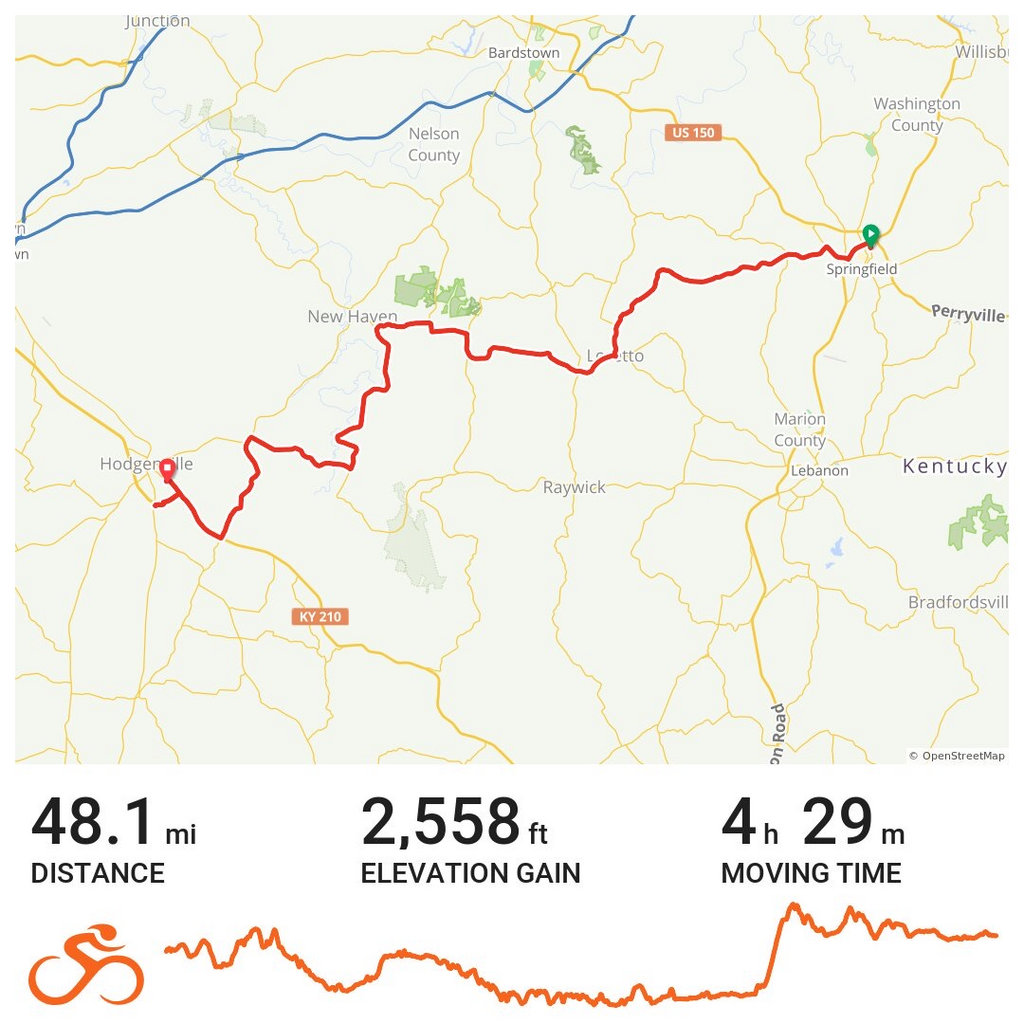
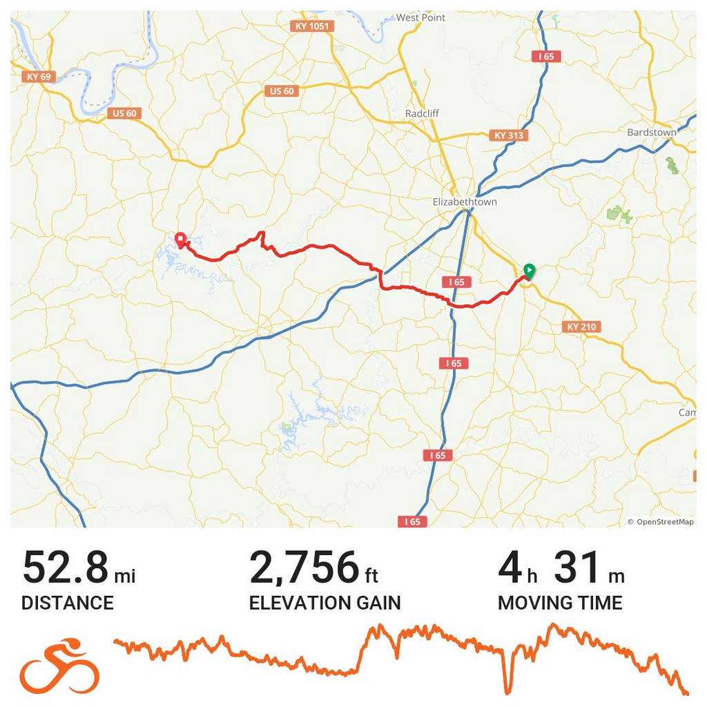
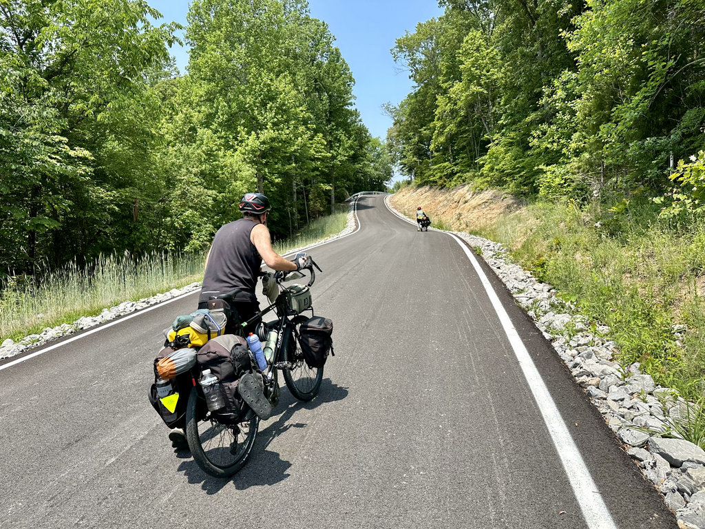
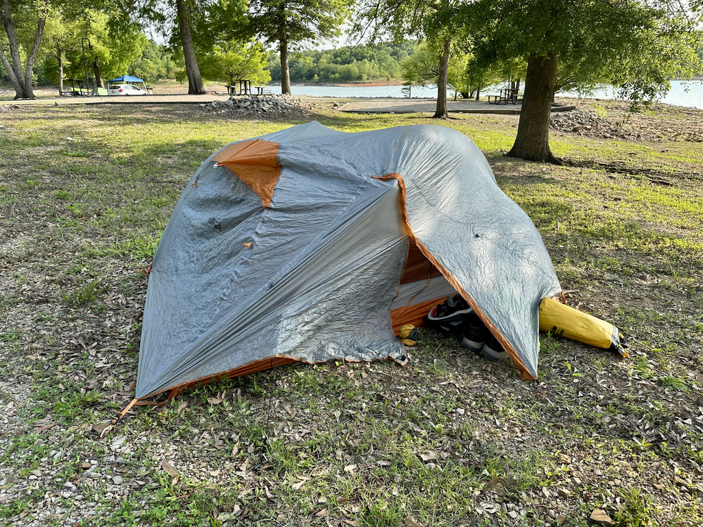
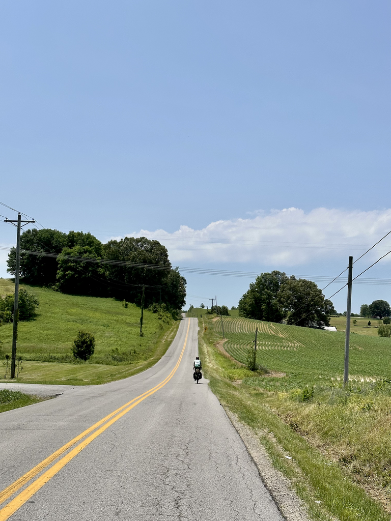
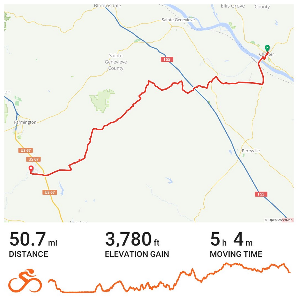
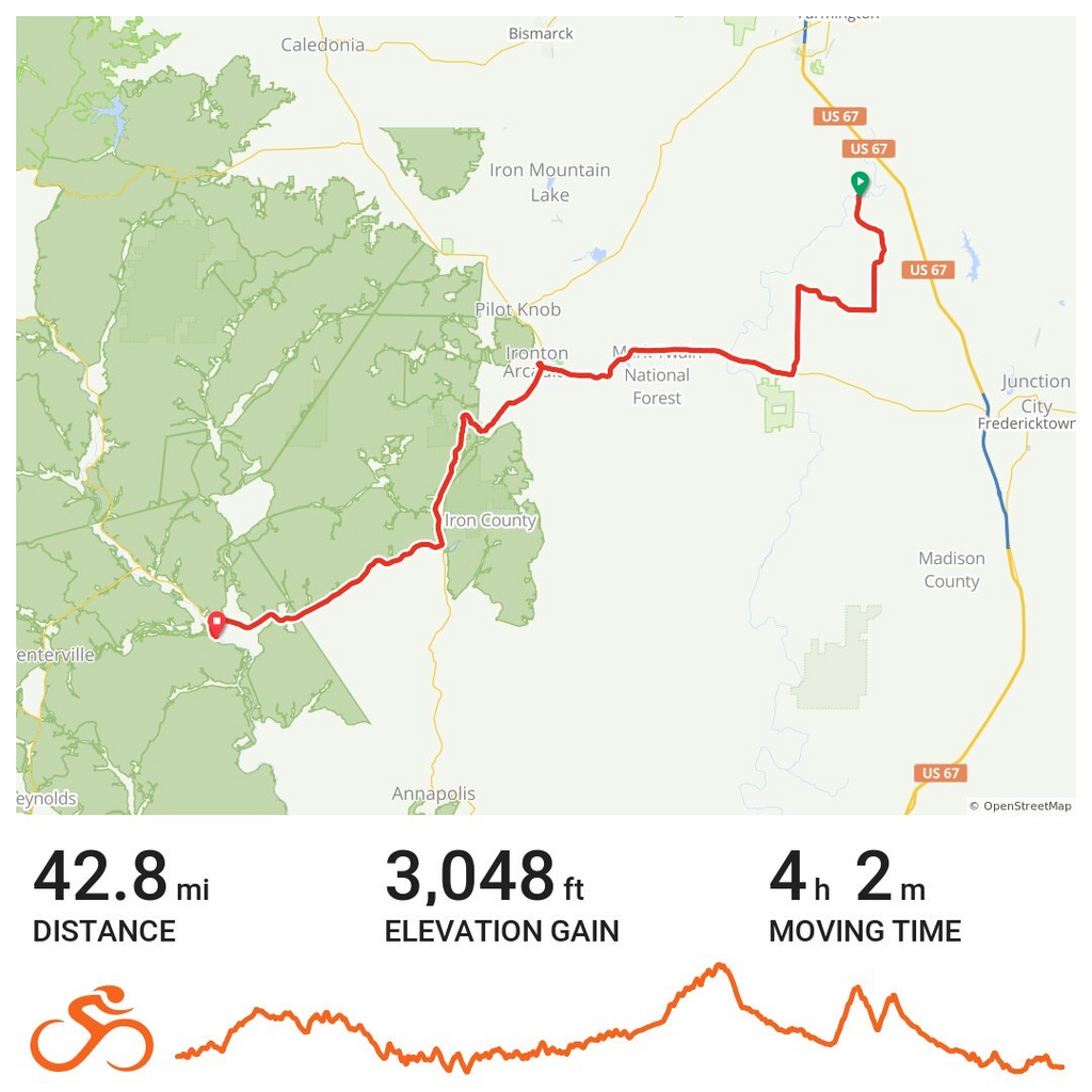
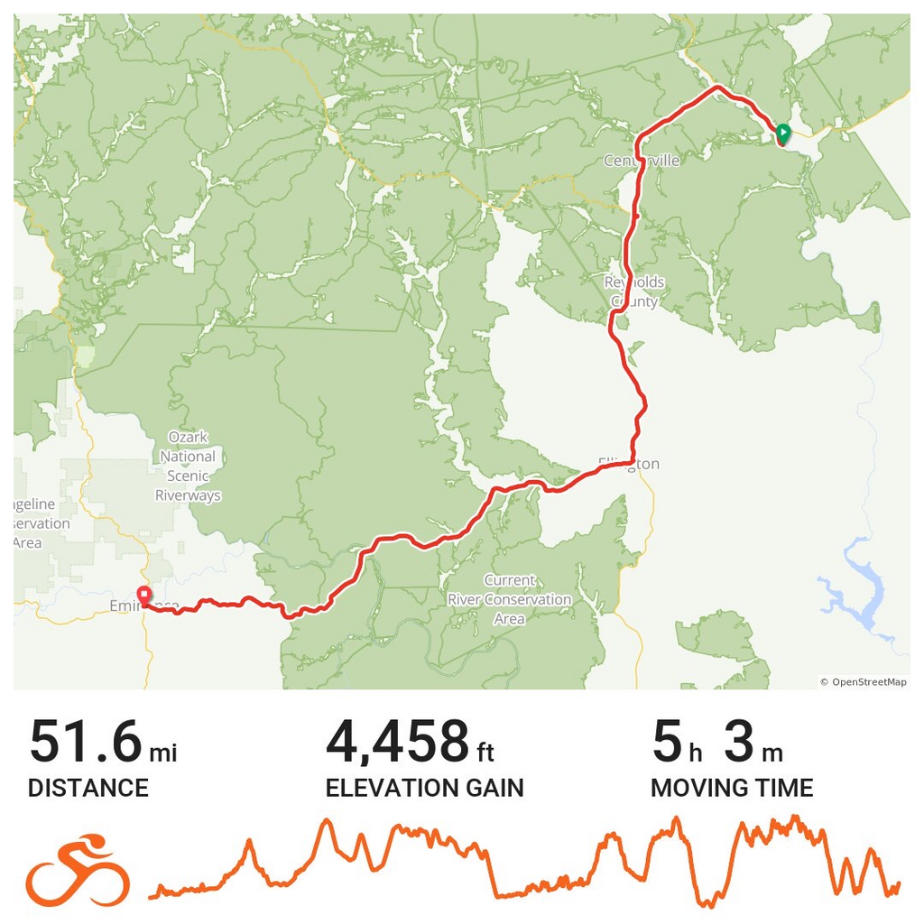
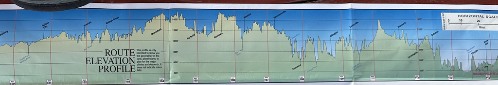
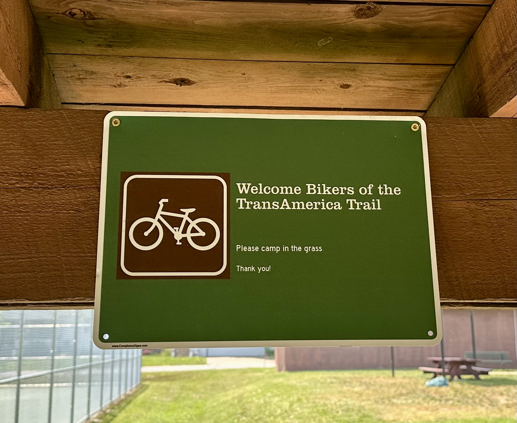
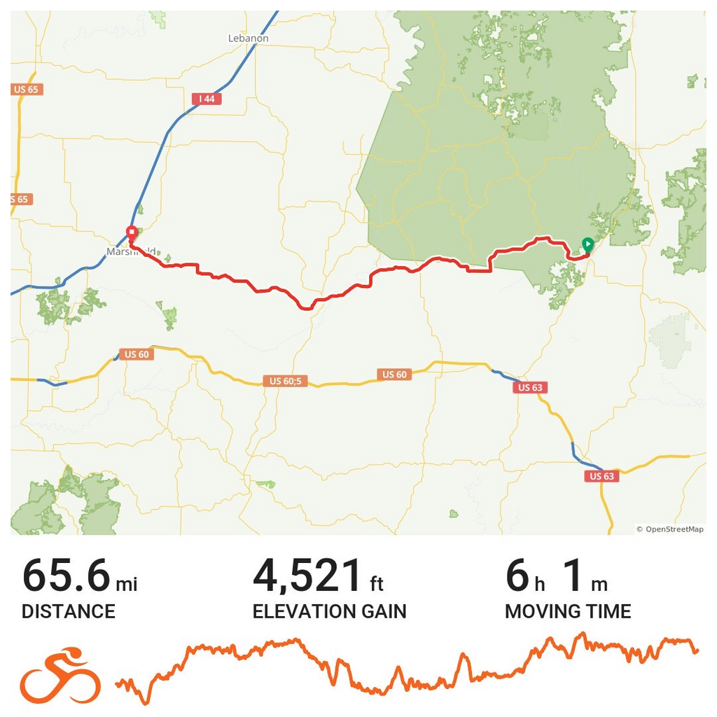
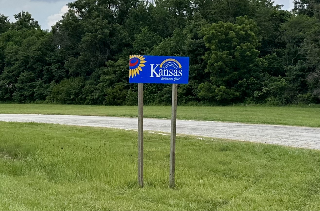
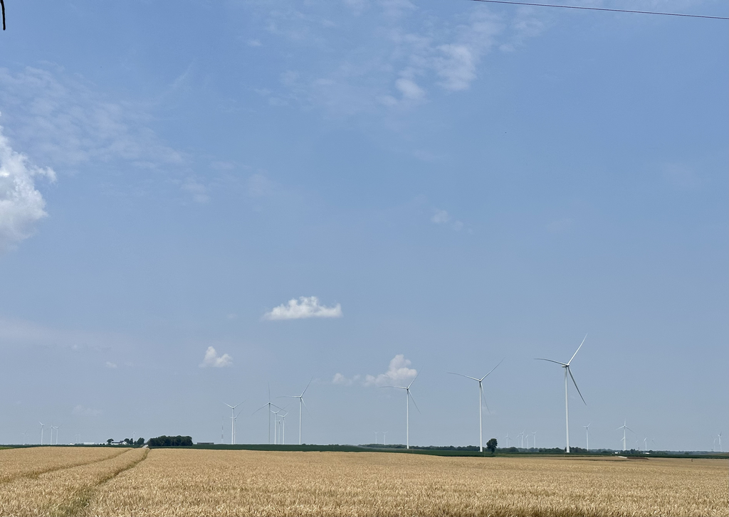
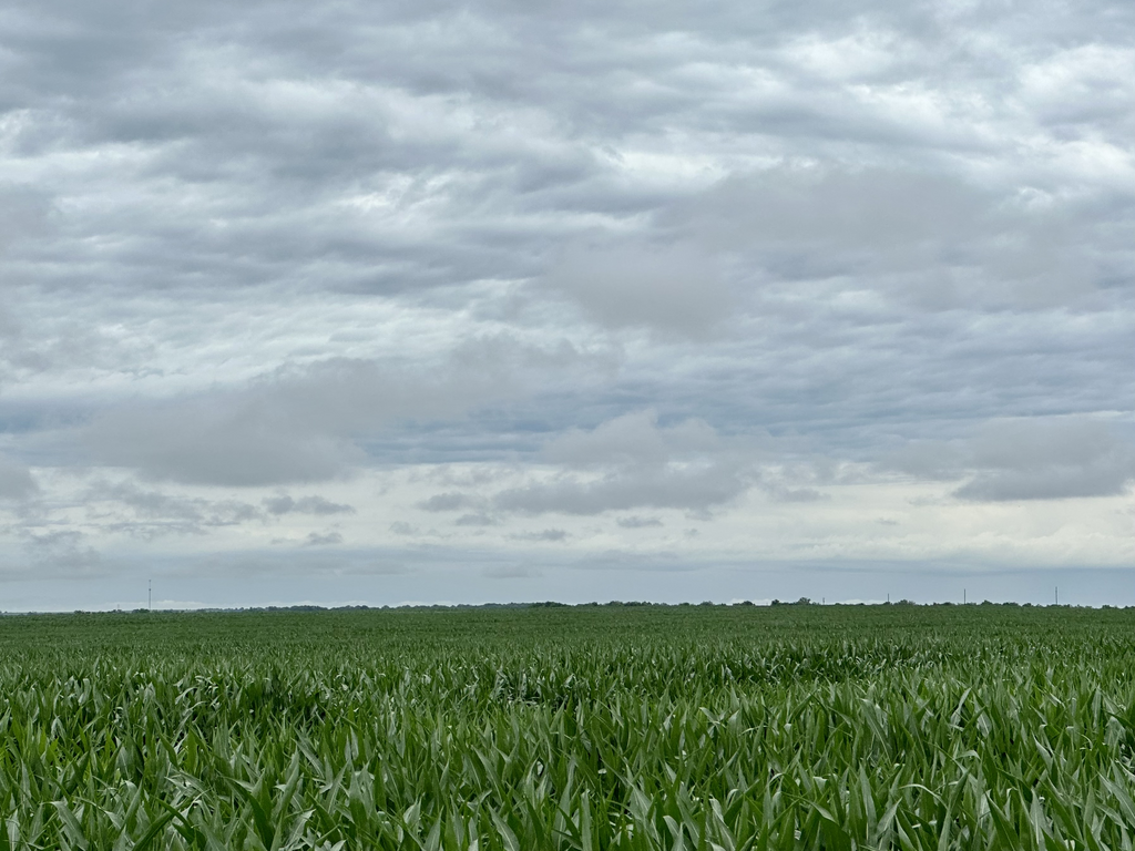
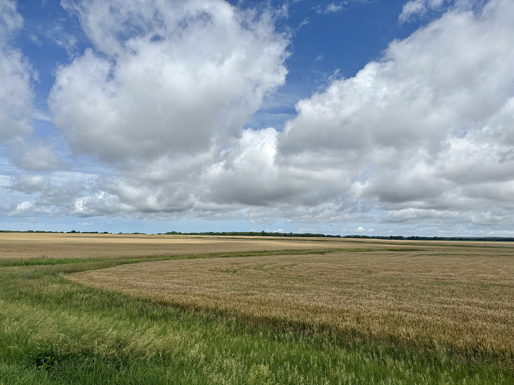
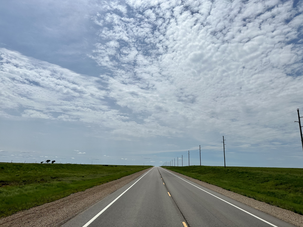
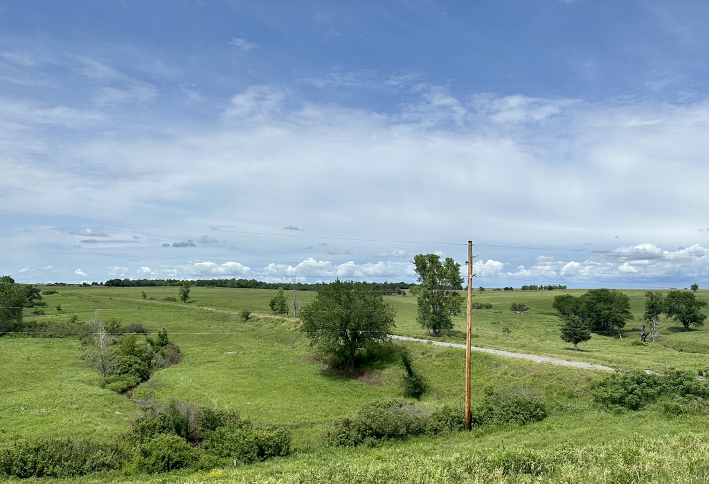
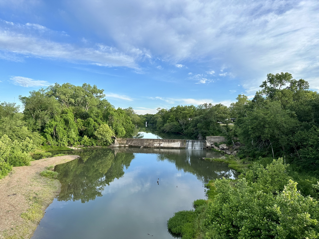
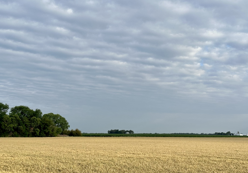
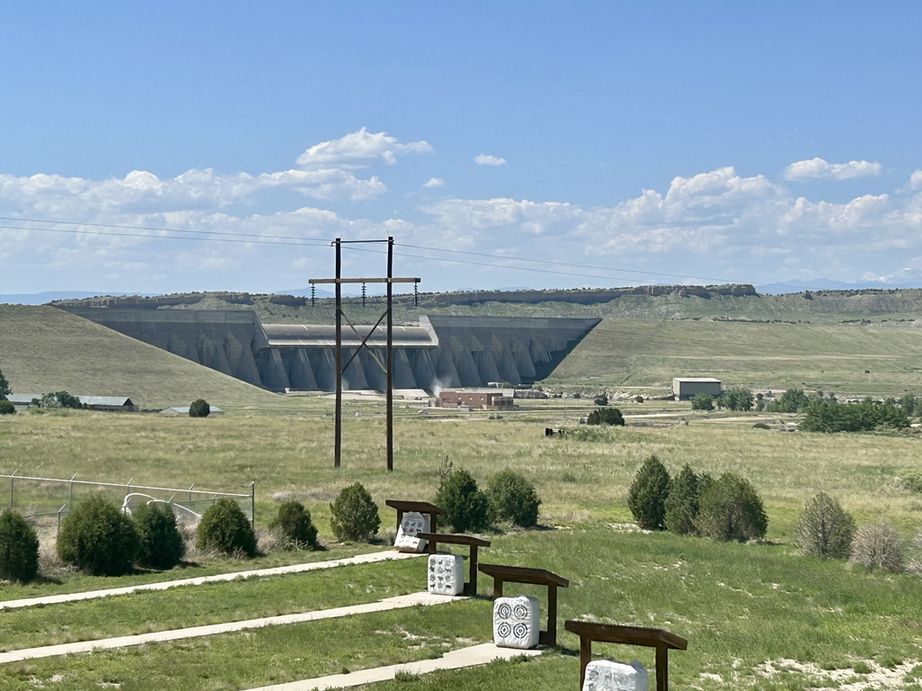
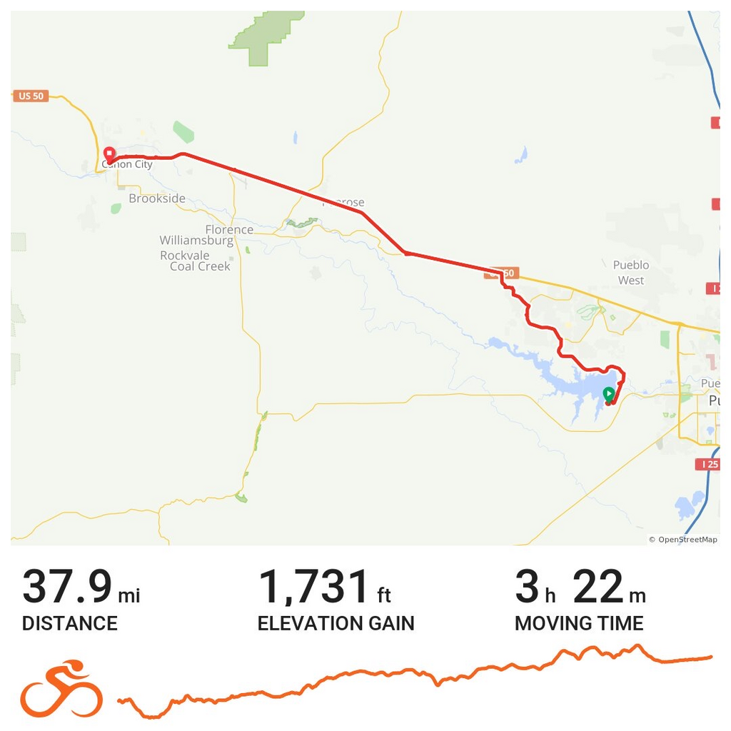
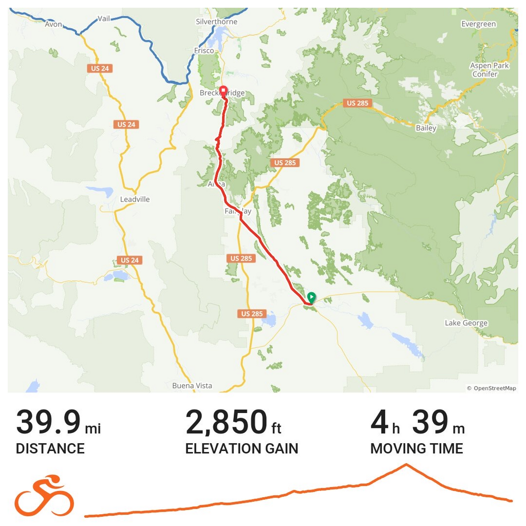
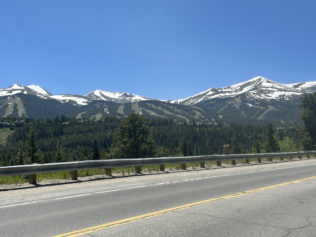
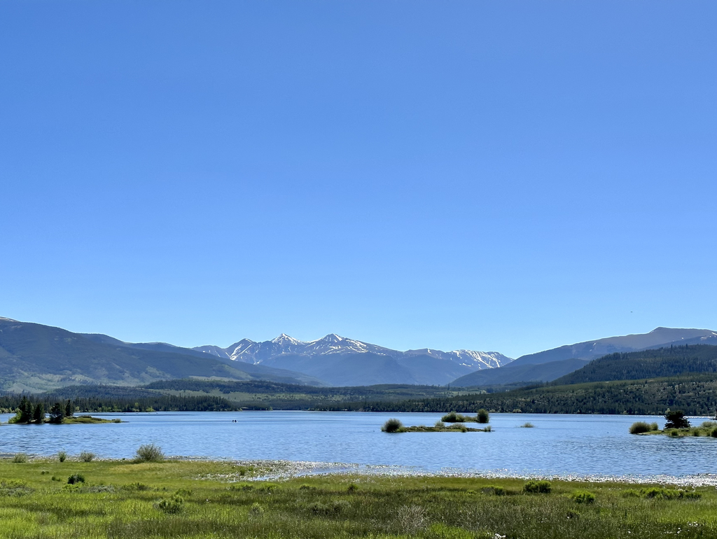
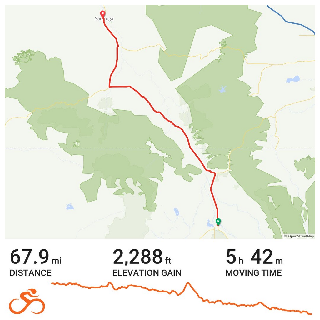
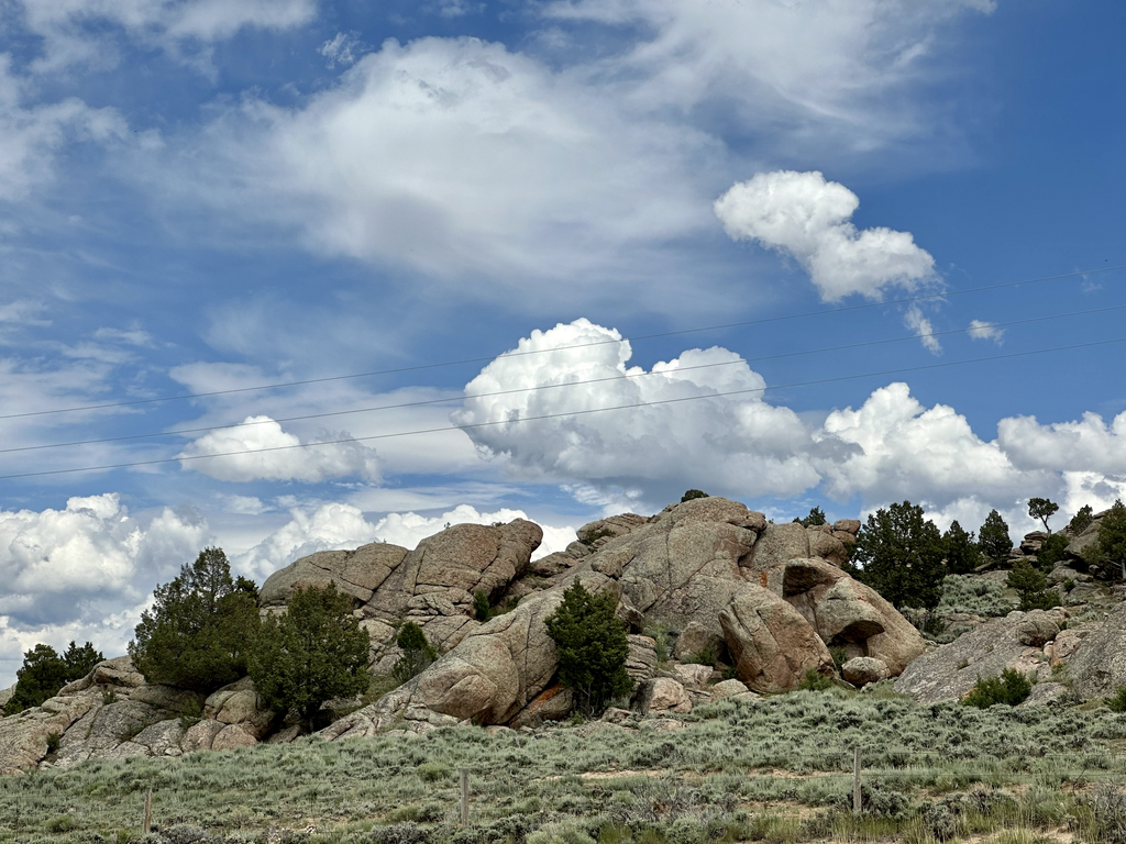
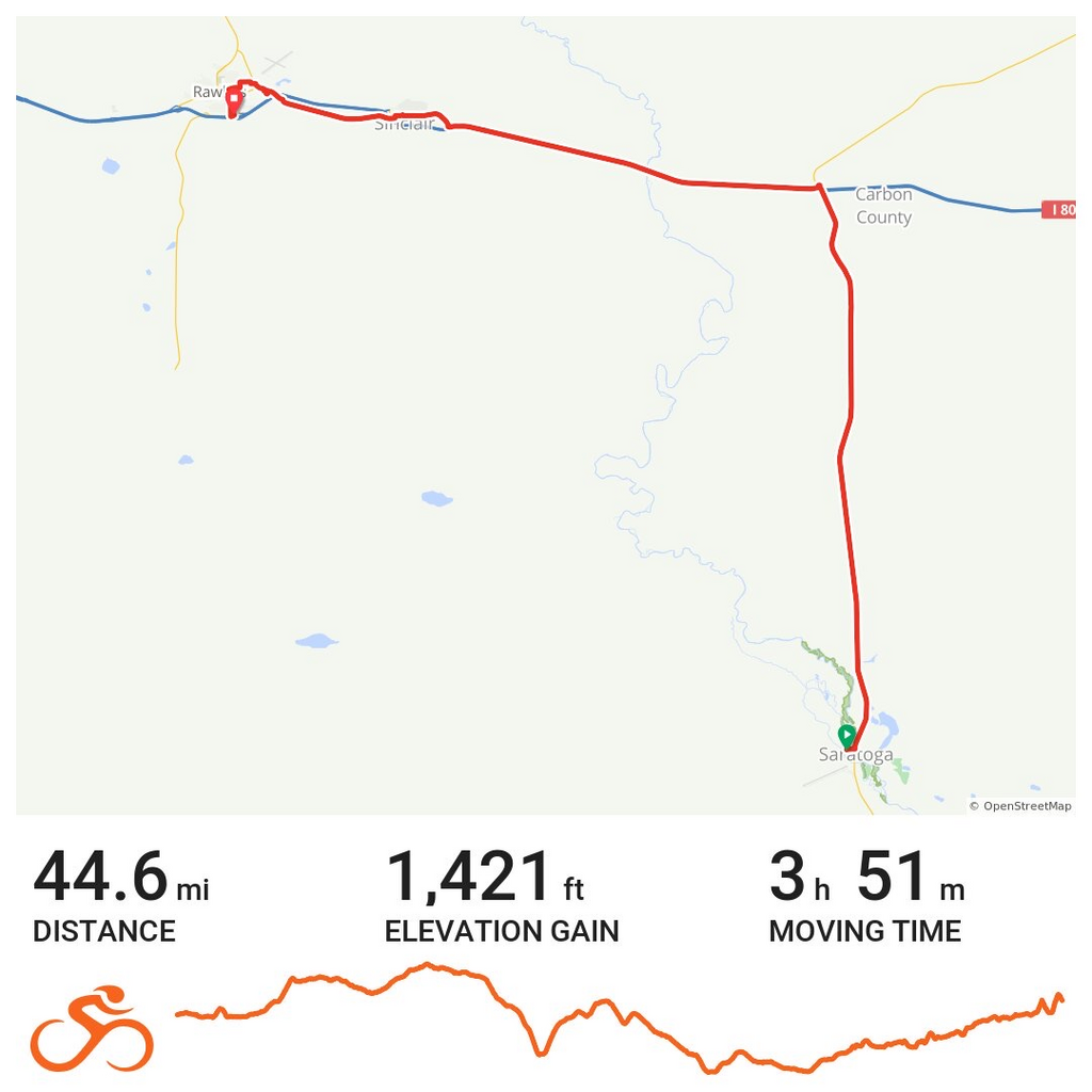
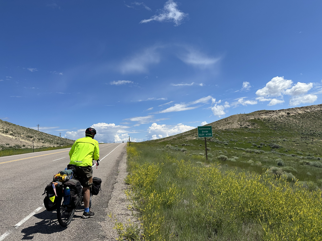
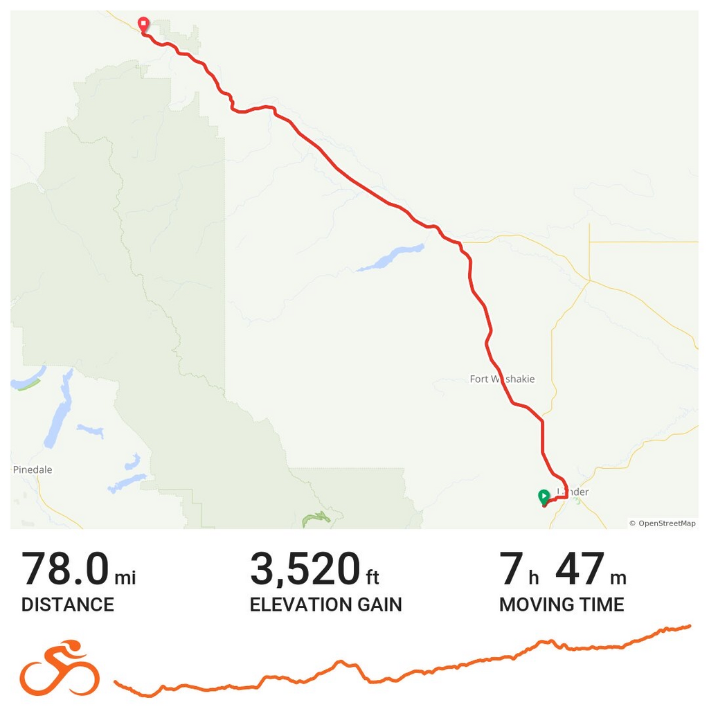
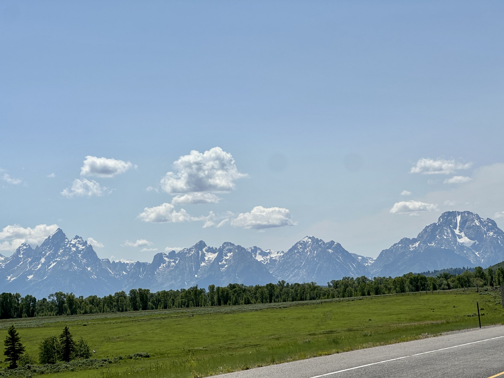
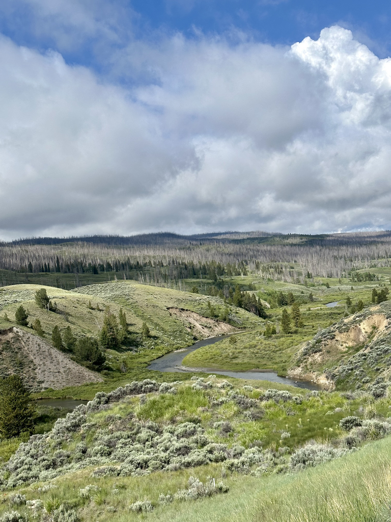
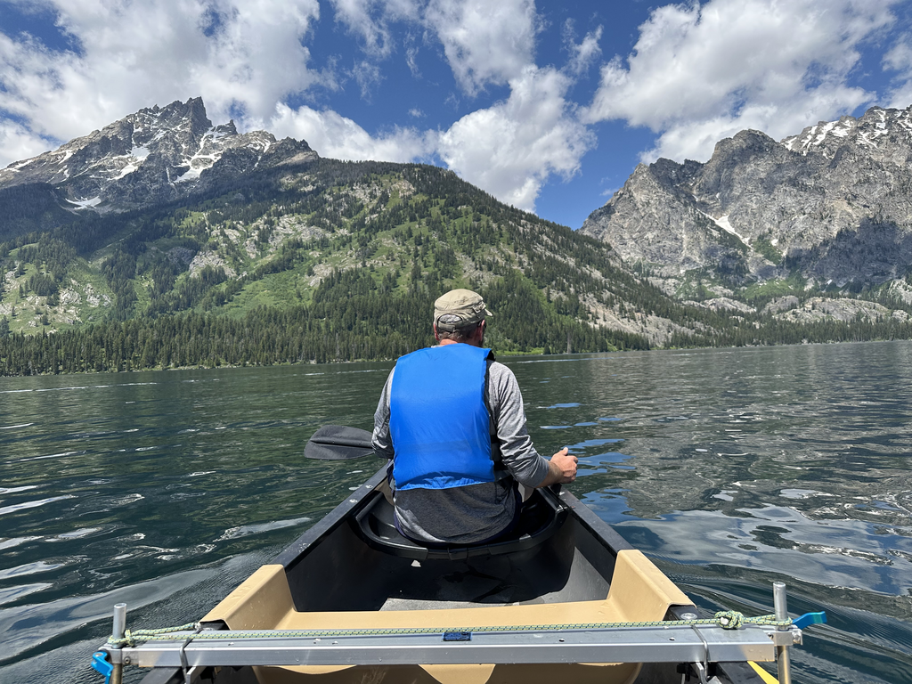
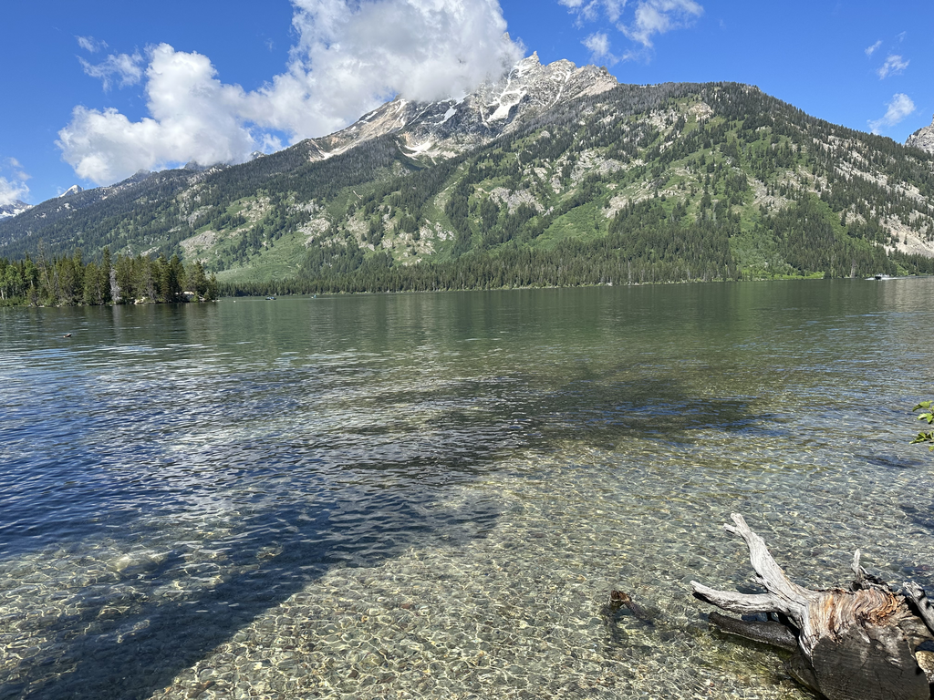
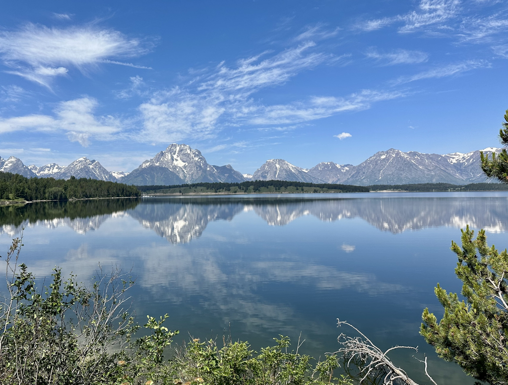
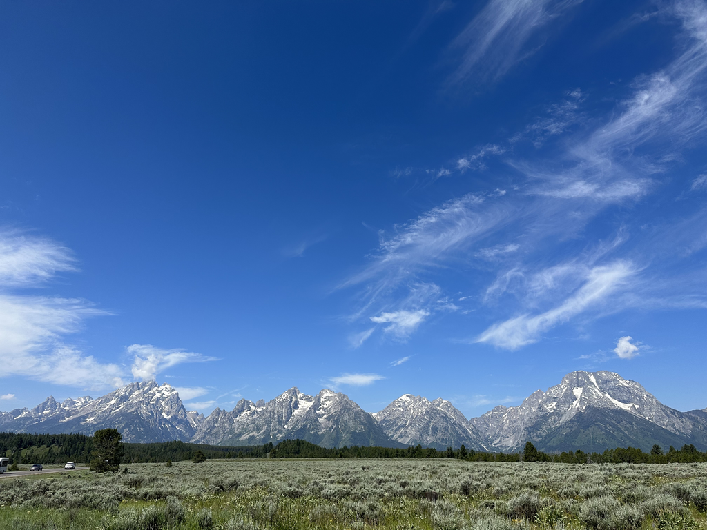
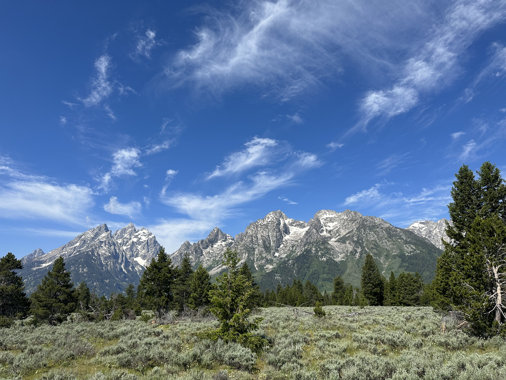
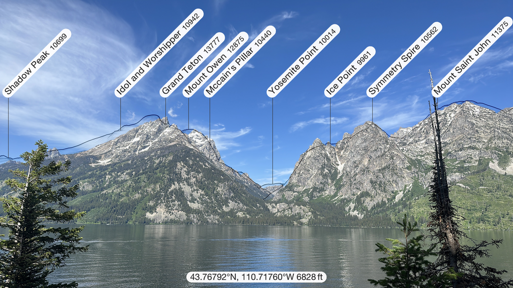
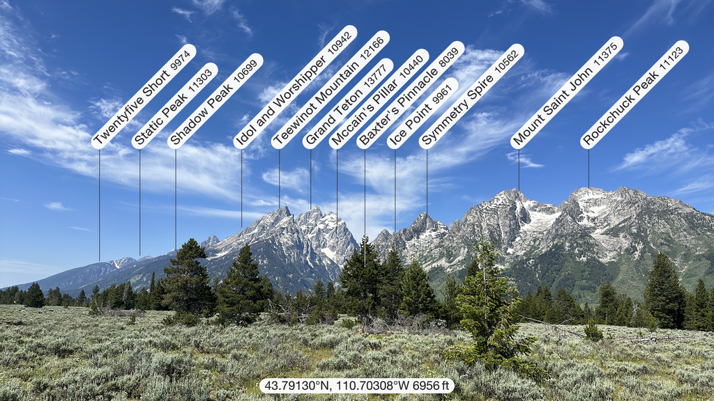
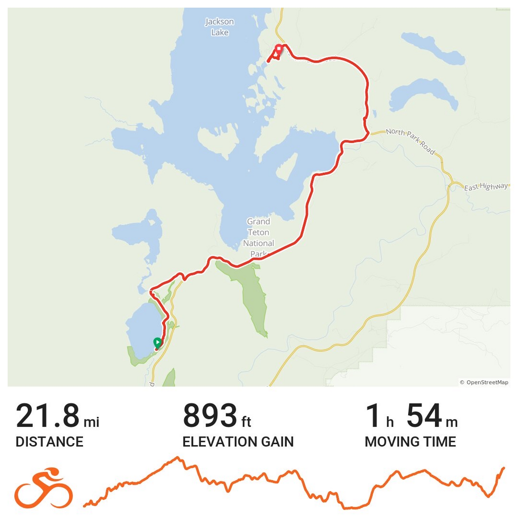
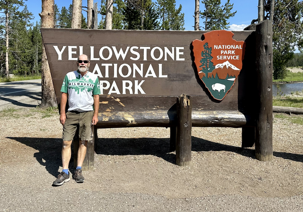
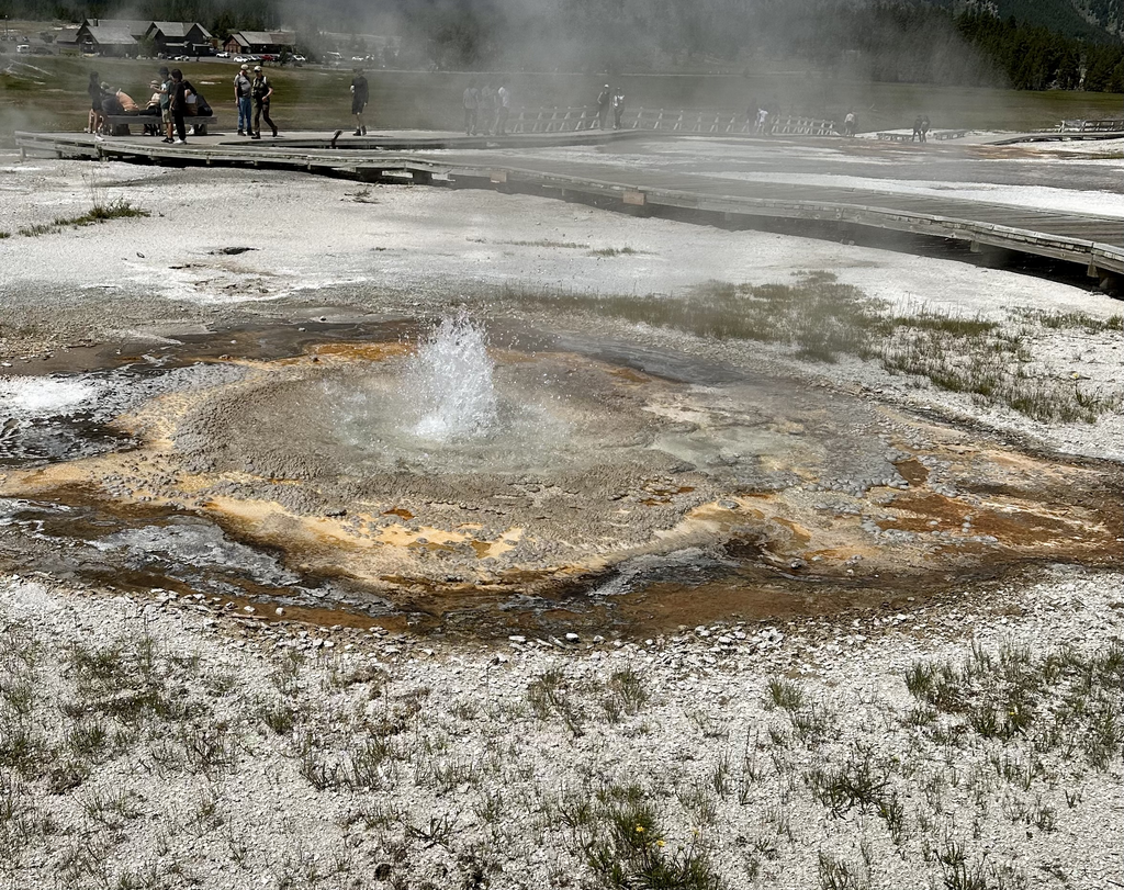
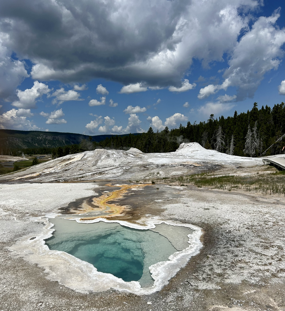
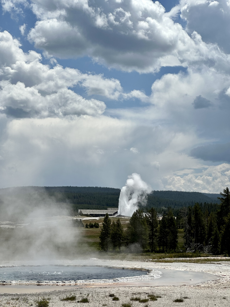
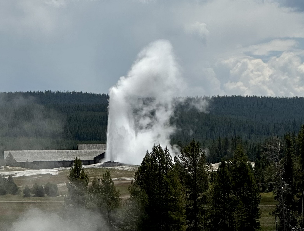
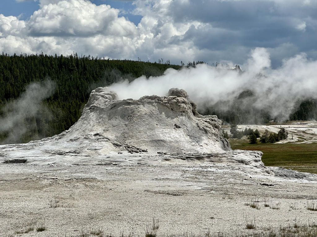
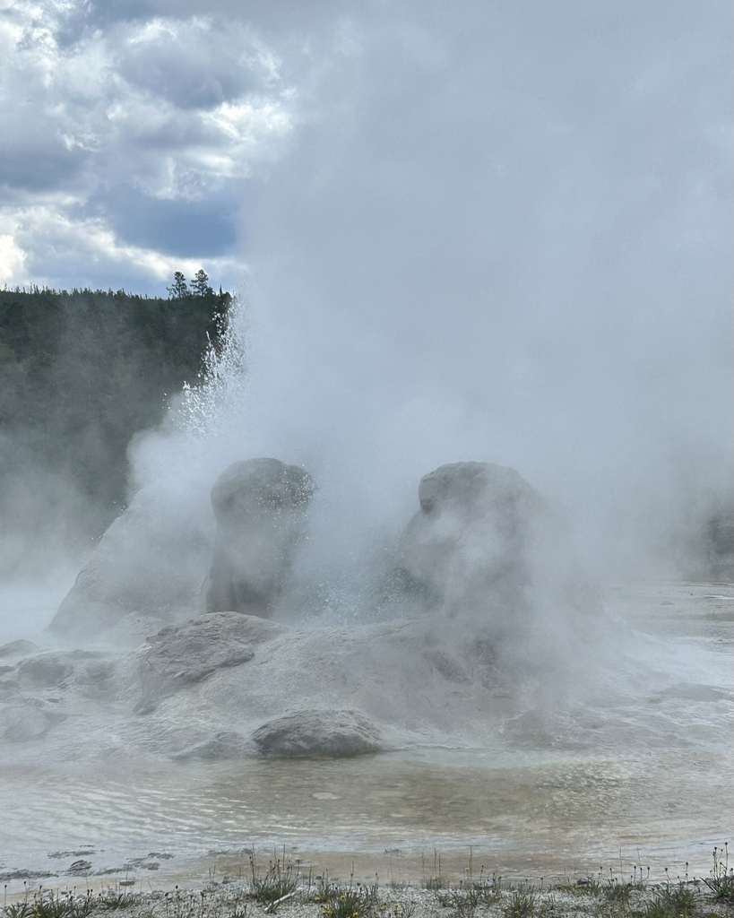
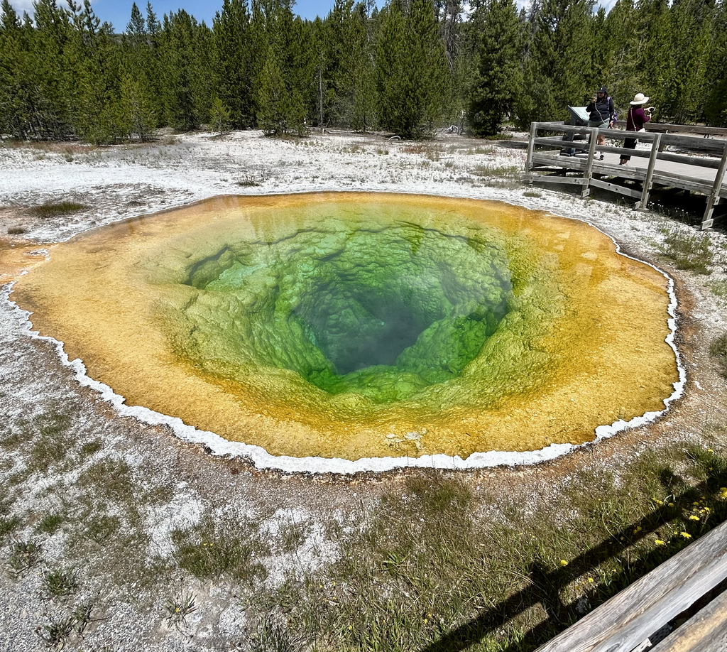
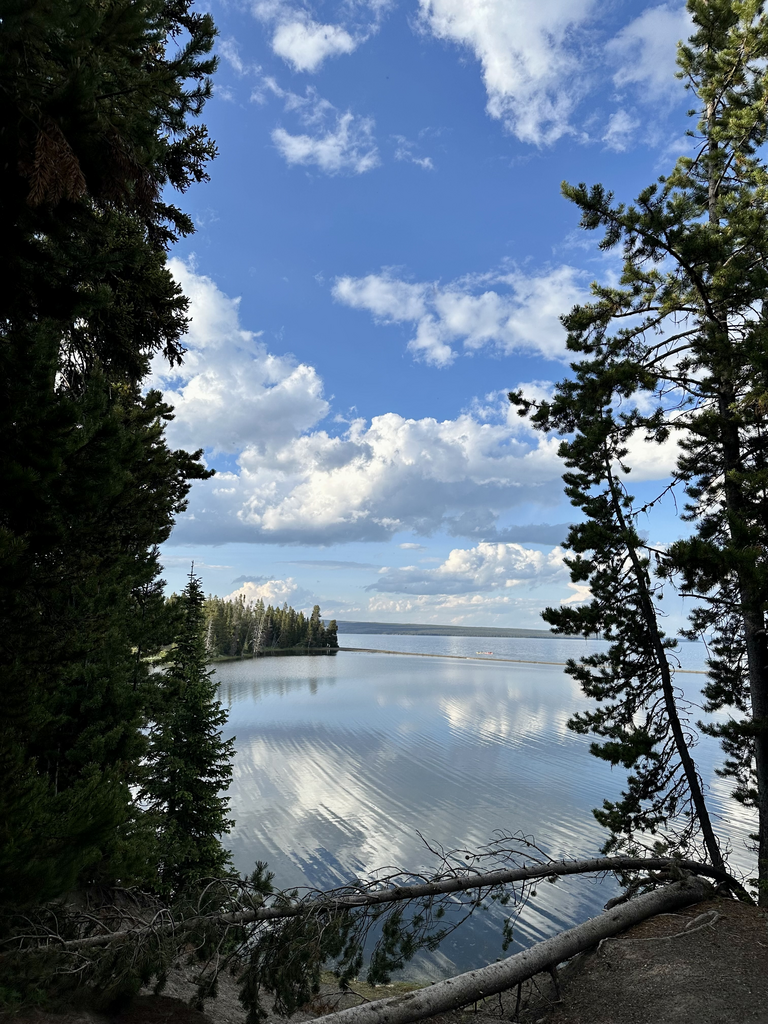
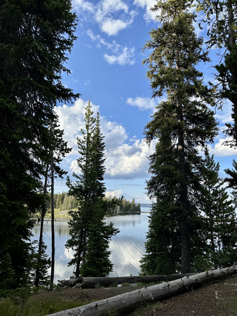
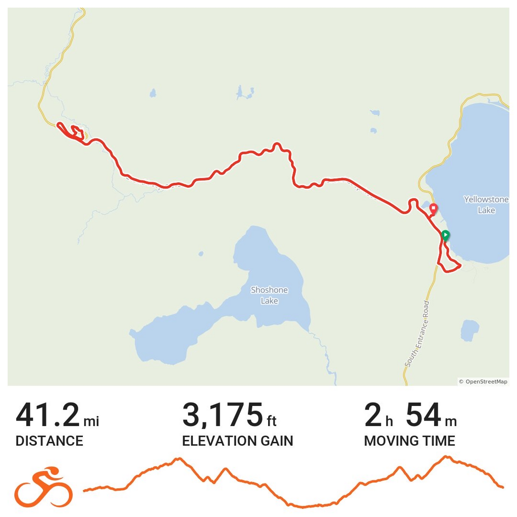
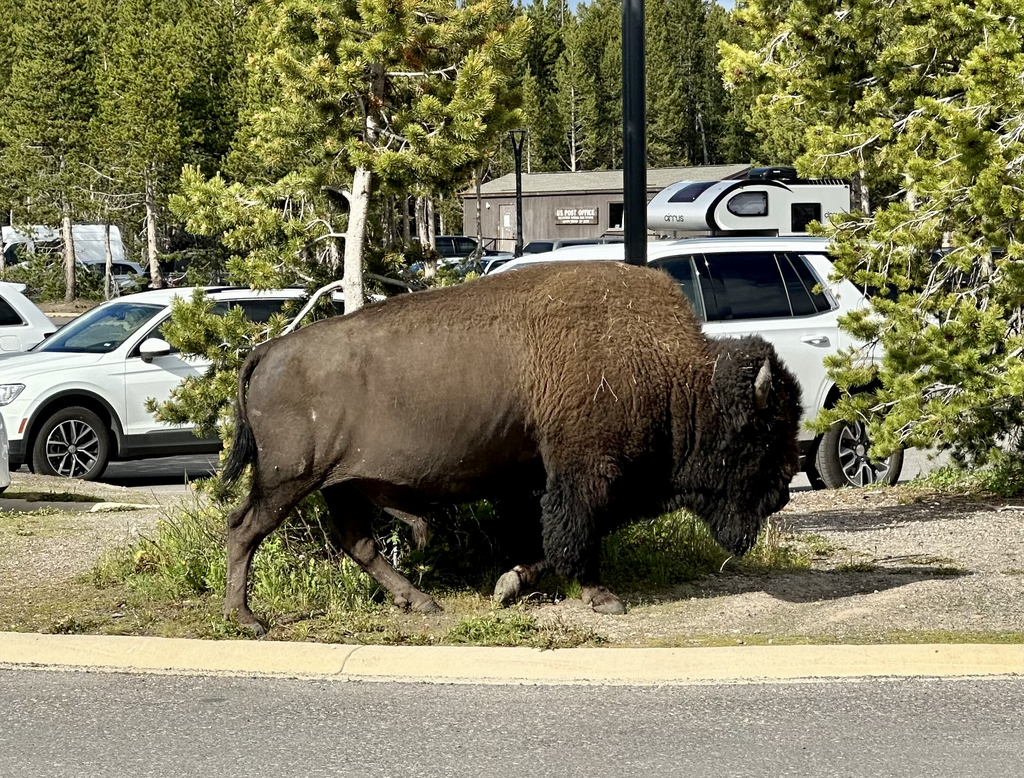
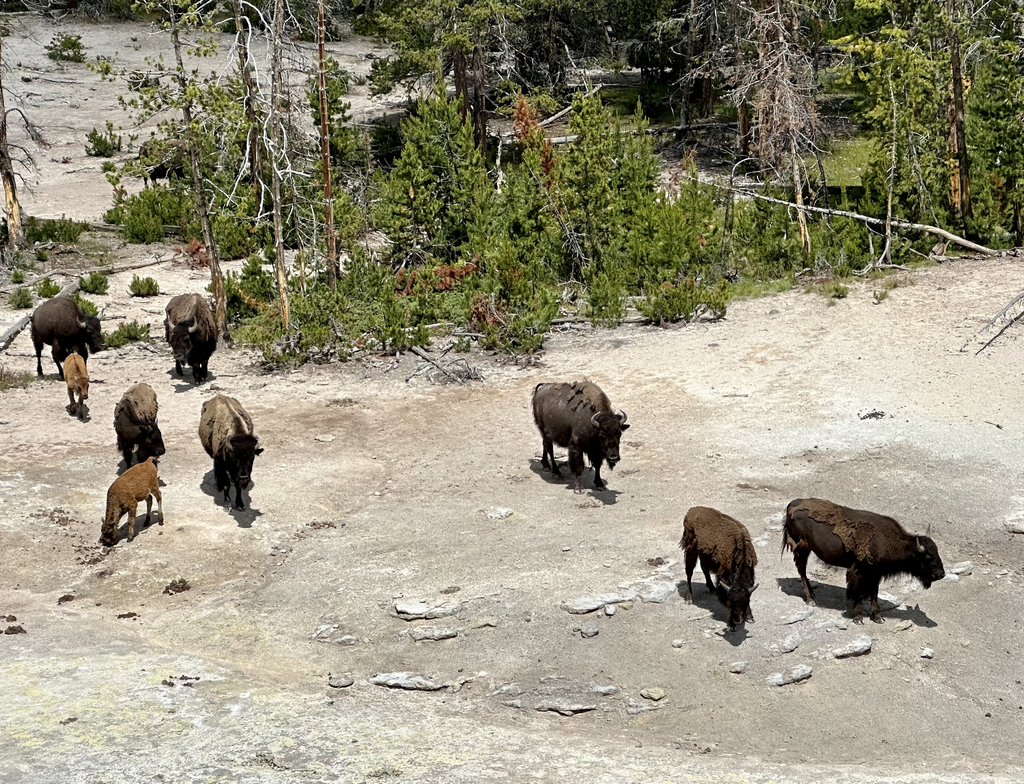
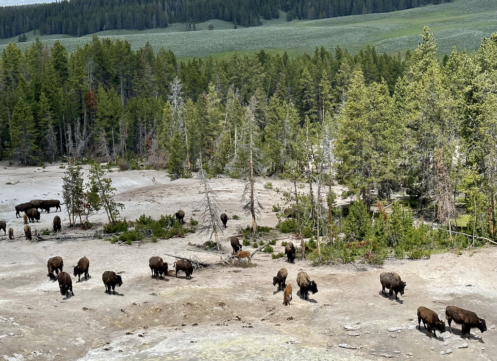
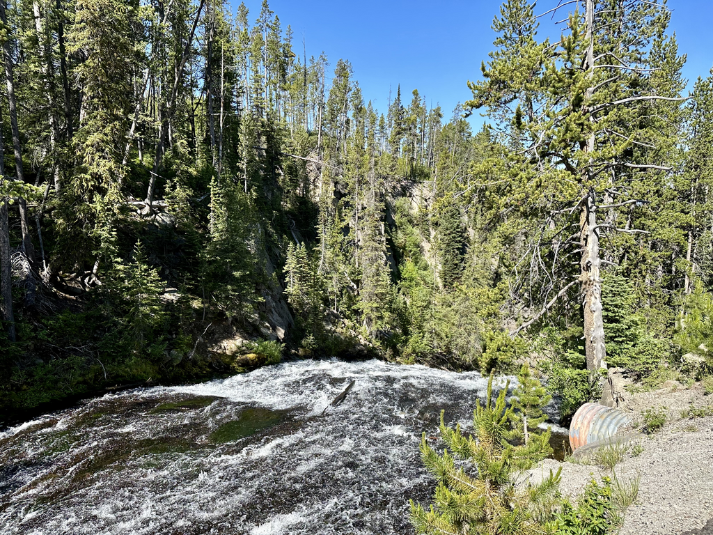
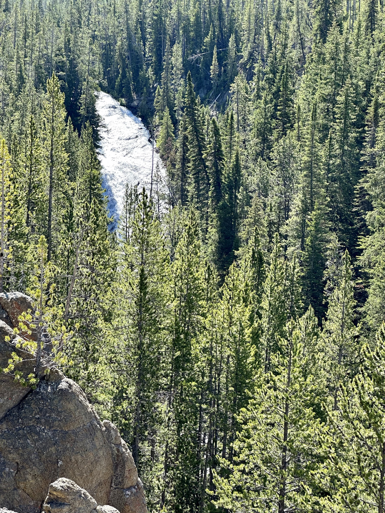
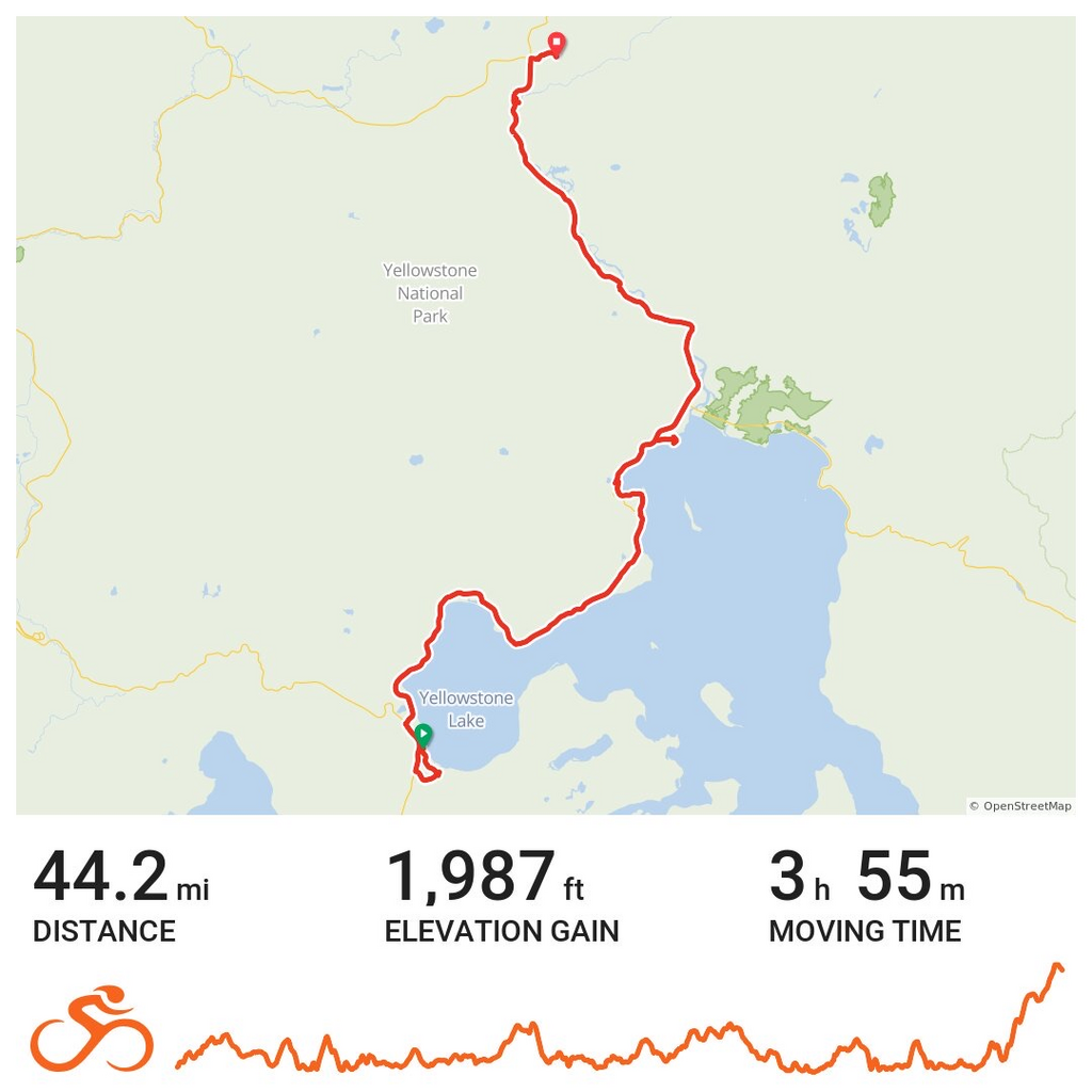
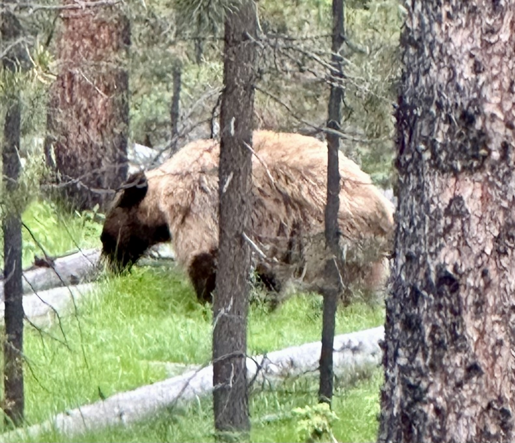
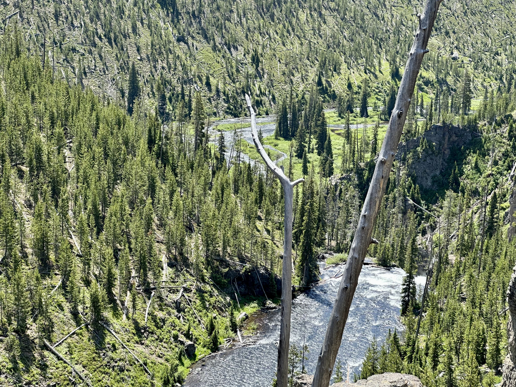
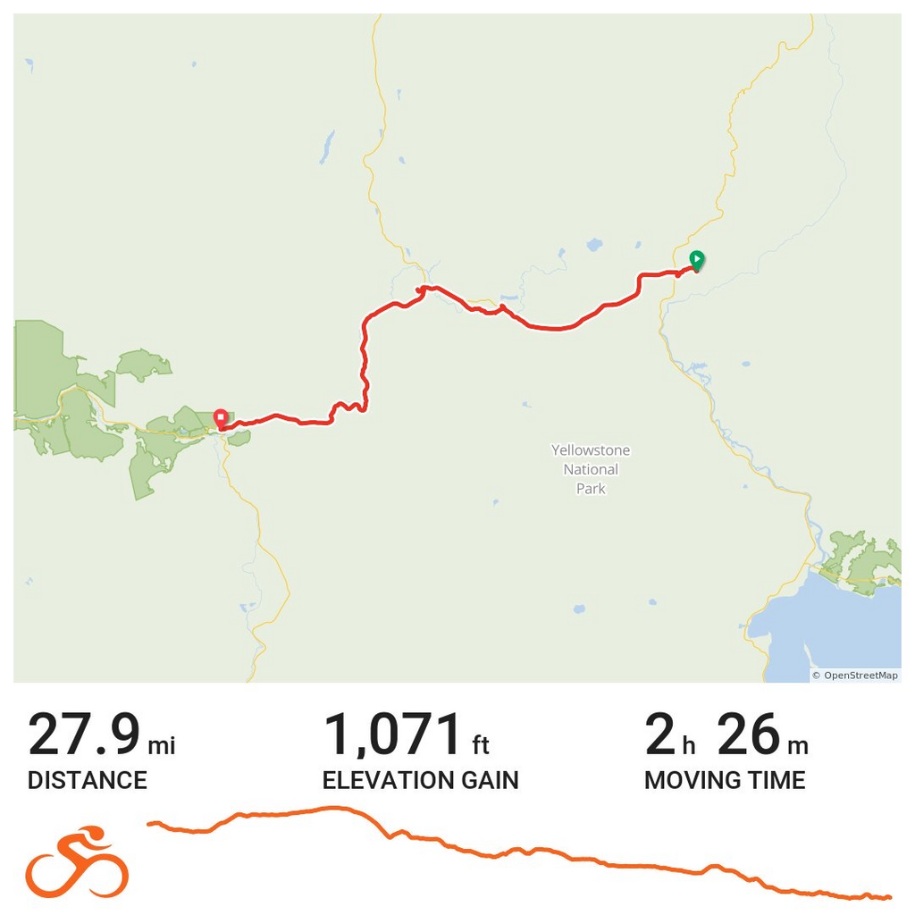
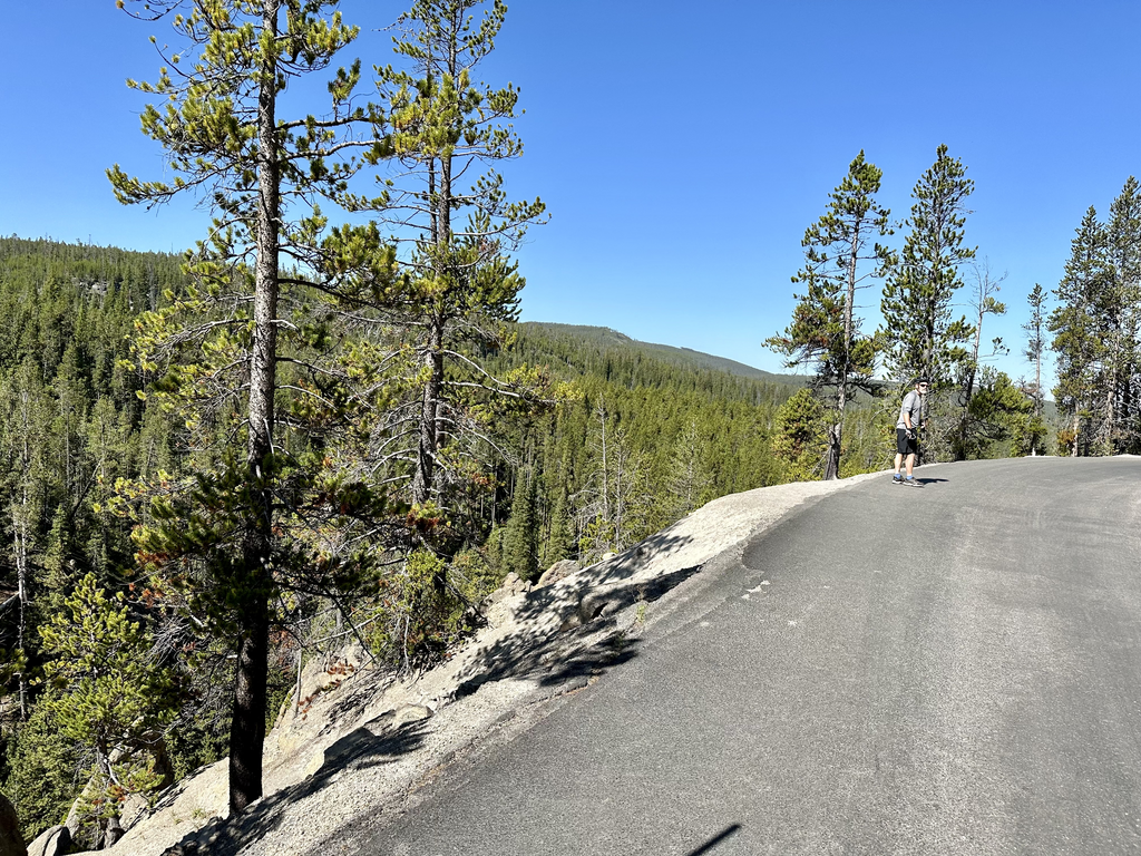
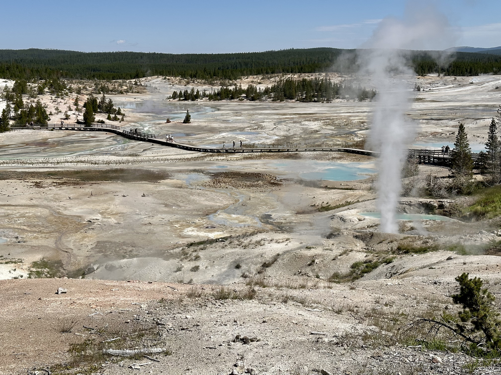
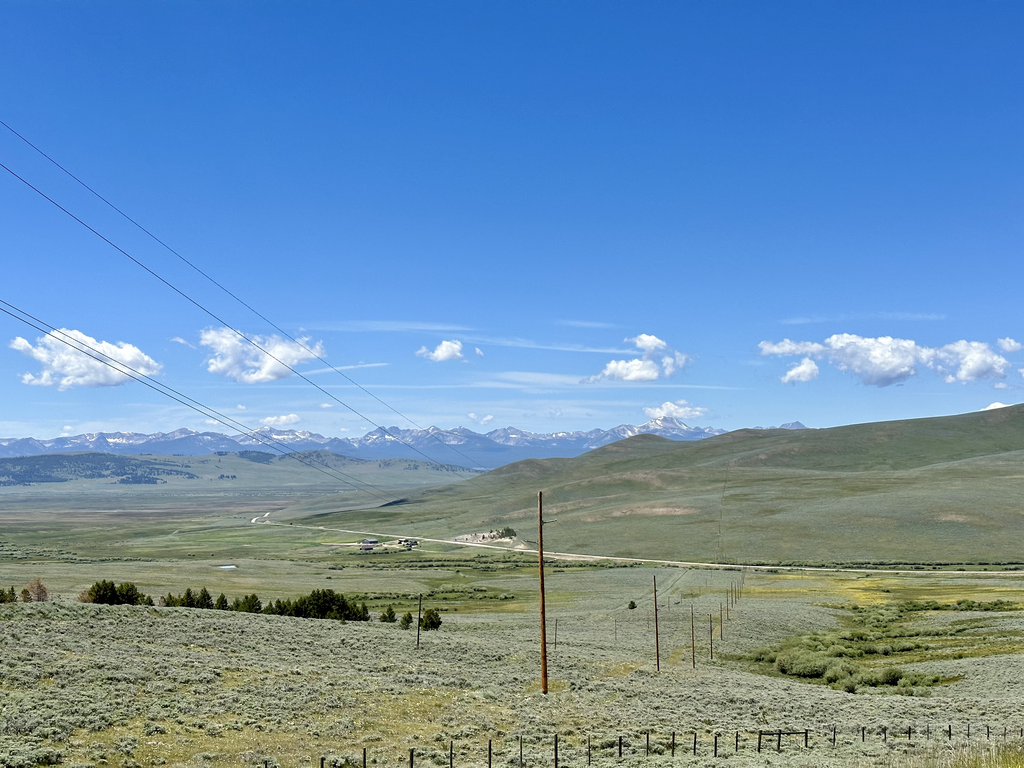
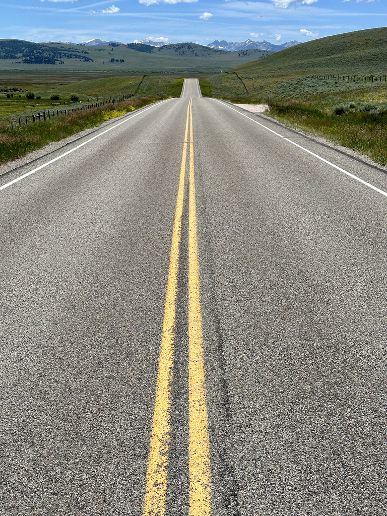
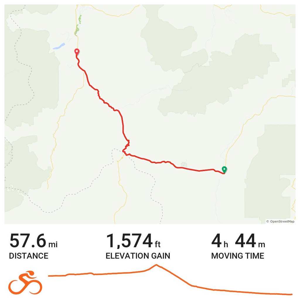
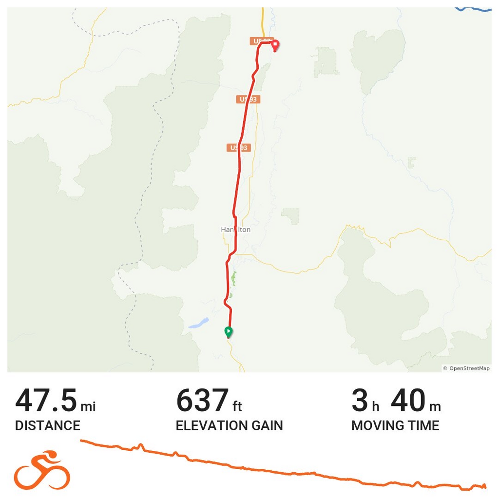
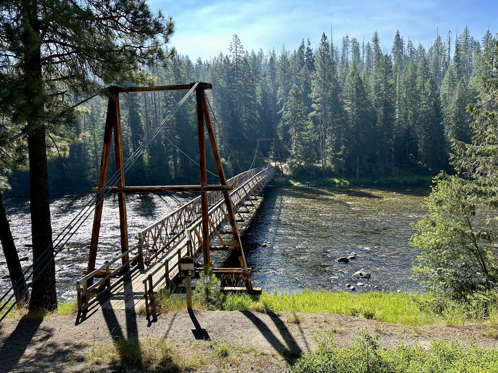
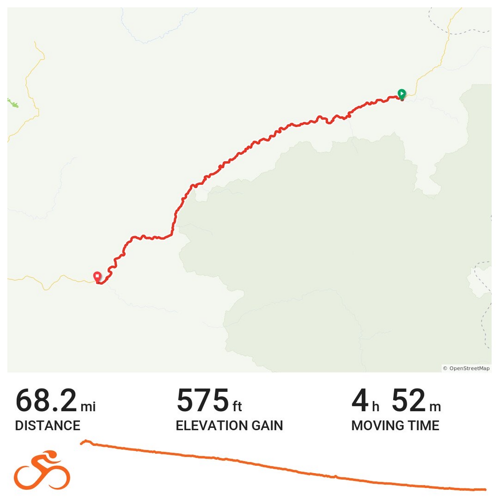
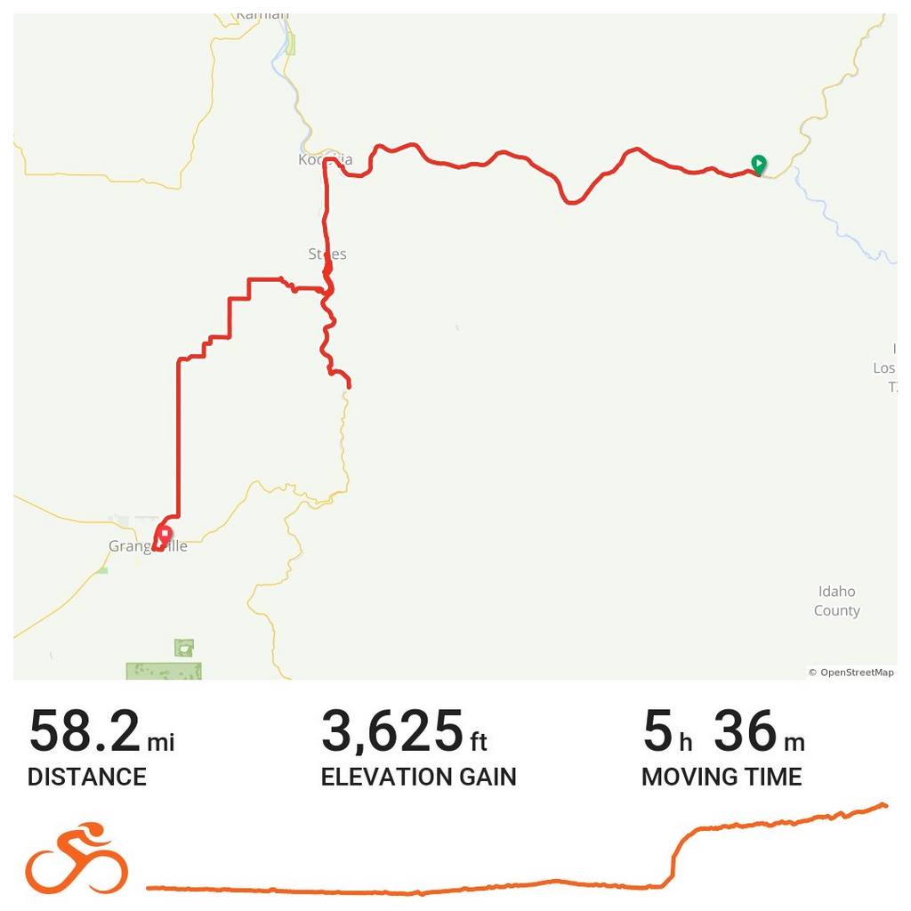
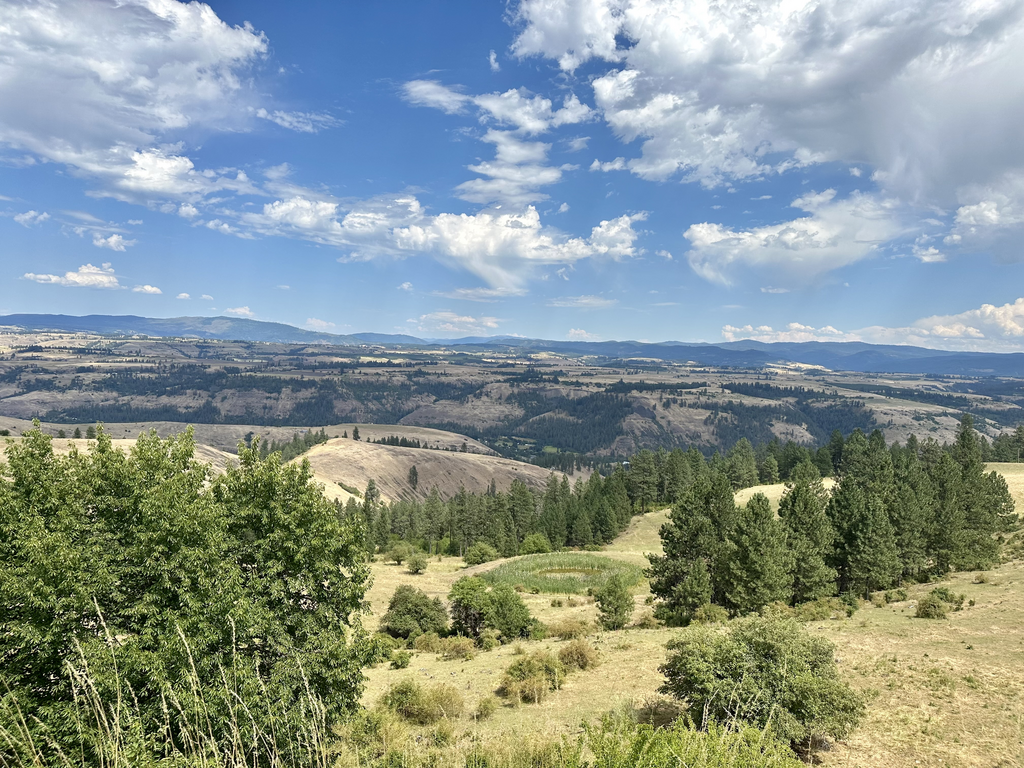
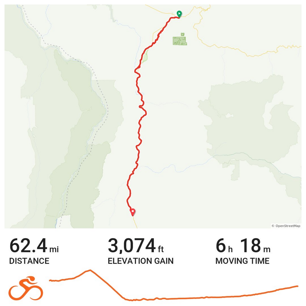
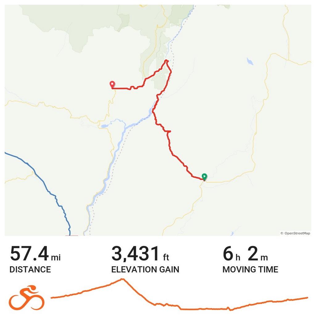
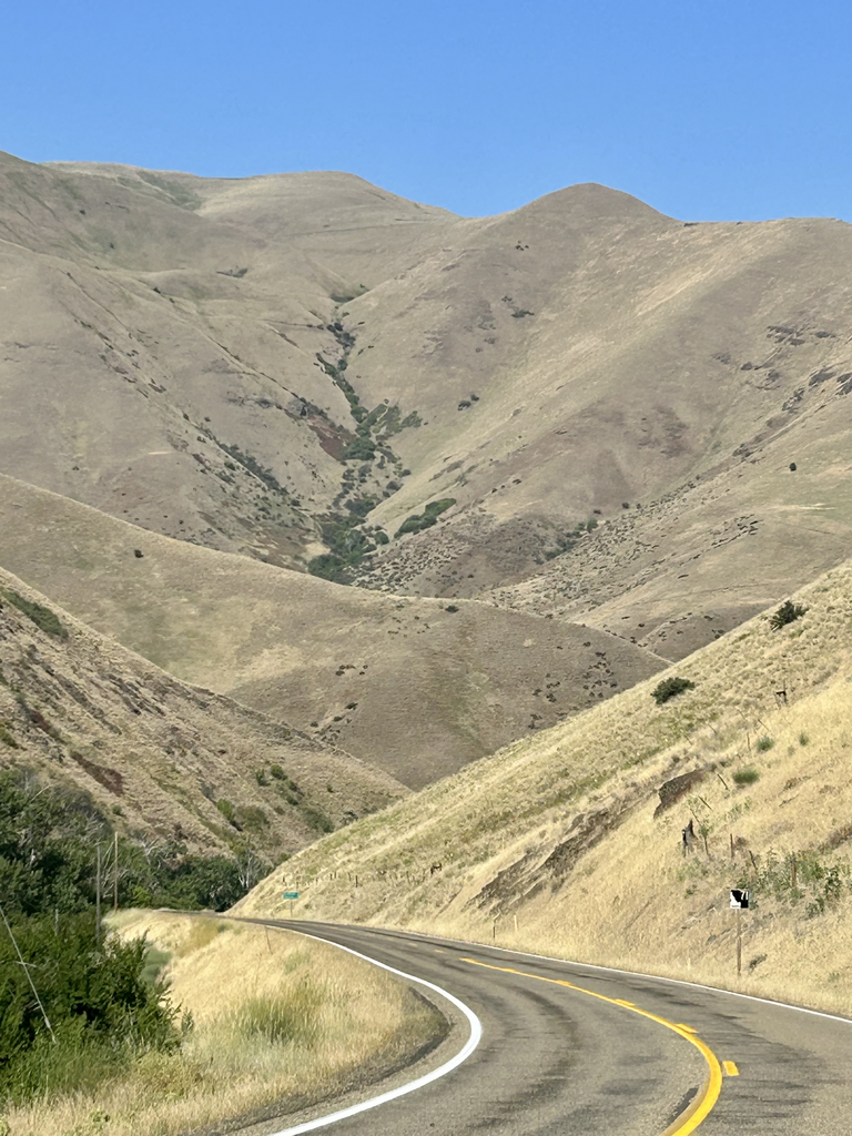
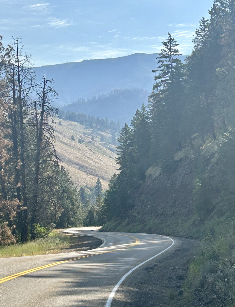
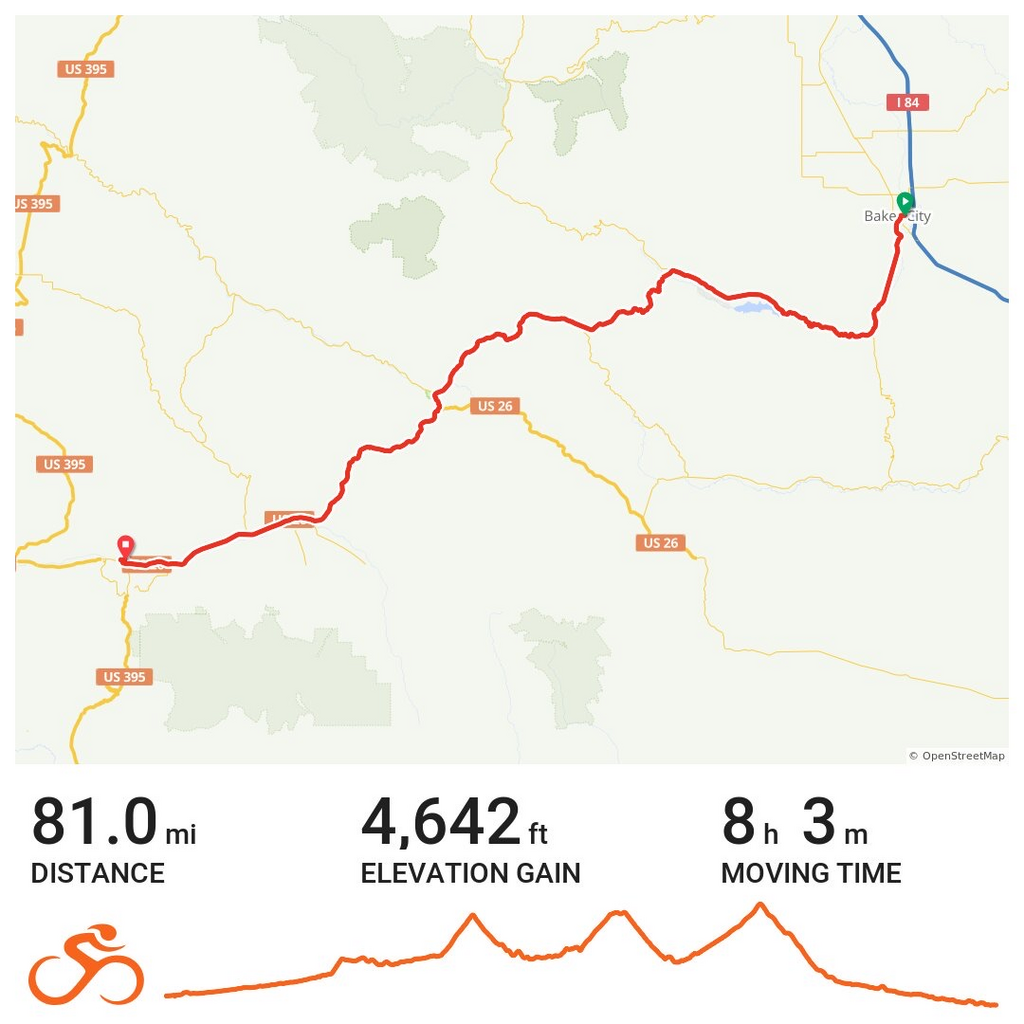
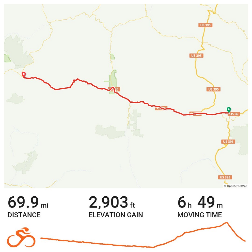
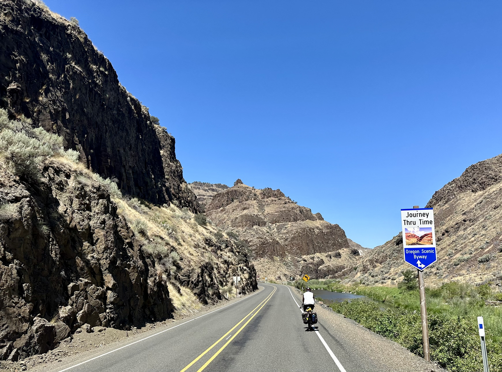
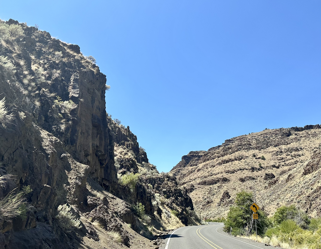
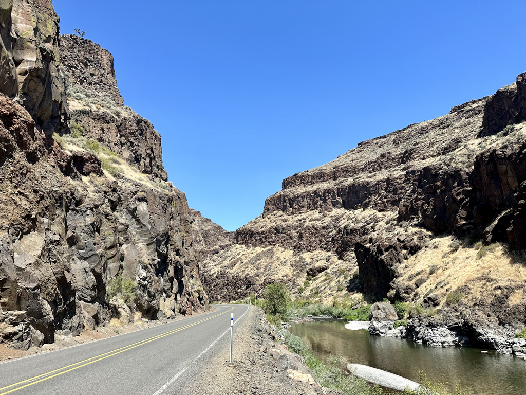
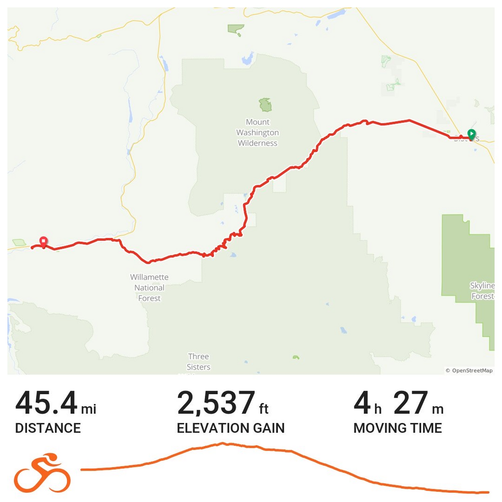
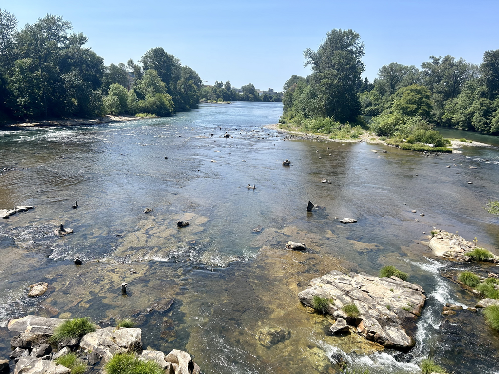
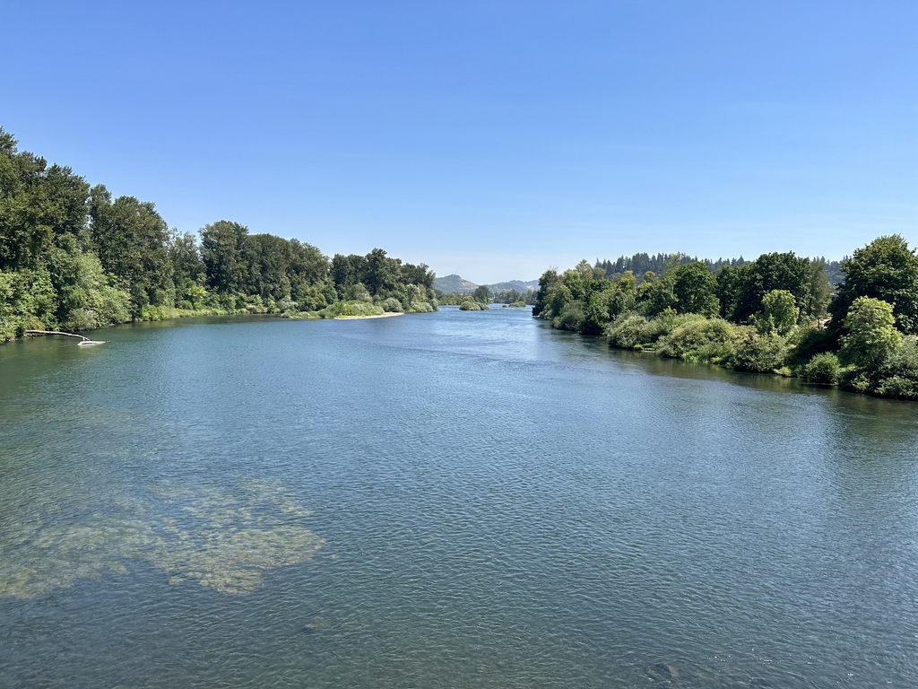
What is this all about? It's about 4,200 miles from the Atlantic to the Pacific, traversing nine states, climbing at least seven named mountain passes at up to 11,500 feet, and passing through three of the prettiest national parks: Shenandoah, Yellowstone, and Teton National Park. The ride will take 13 weeks, riding an average of 55.8 miles per riding day (about one rest day per week), camping whenever possible.
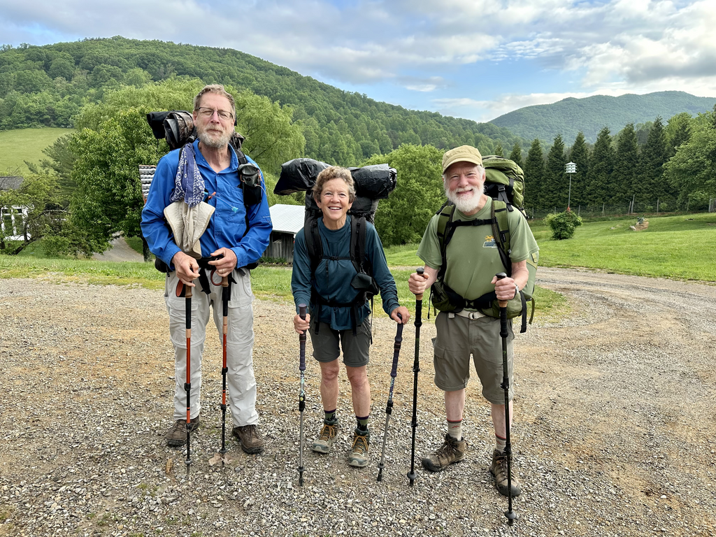
I initially booked the trip through Adventure Cycling (ACA), an organization I've traveled with many times in the past. Despite this being the grandaddy of of all cross-county bike routes in the US, they cancelled the trip w/ little explanation. So seven of us who had signed up (Tim, Mark, Paula, Geri, William, Stephane, and I) have been planning our own trip instead, using the same route and ACA maps. Judging from comments have made during Zoom sessions, I think the average age is about 61. What am I doing w/ these geezers? Sadly, I'm only 2 years younger than the average and a friend keeps reminding me that we aren't getting any younger, so I'm off.
ACA's blurb is the following:
Thousands of cyclists have pedaled the 4,253-mile TransAmerica Trail and will tell you they captured
a lifetime's worth of memories along their tour. For many traveling cyclists who haven't yet
experienced the TransAm, it remains the holy grail of American bicycle tours.
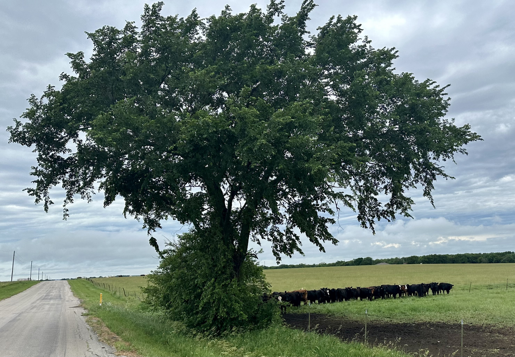
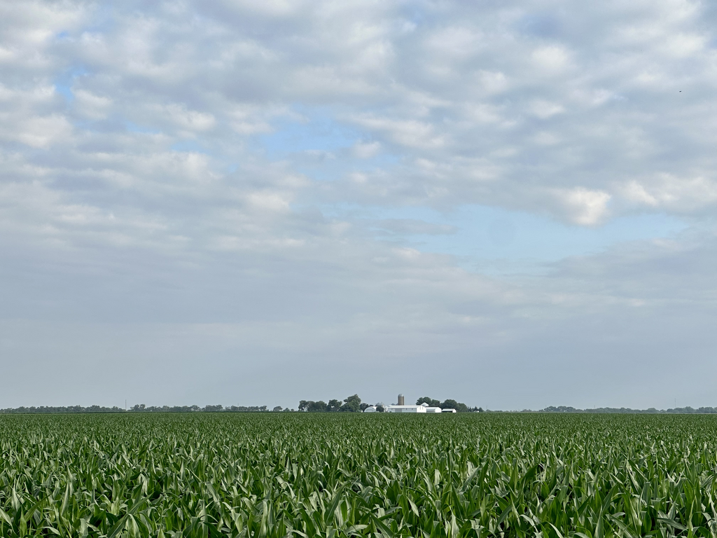
Starting in Virginia, you'll pedal westward through rolling hills into the steeper climbs of Kentucky,
Illinois, and Missouri. After the windswept plains of Kansas and eastern Colorado, the remainder of
the journey is primarily through the Rocky Mountains. You and your fellow group members can make
this trip a unique experience like no other. Daily tasks, including shopping and camp cooking, are
also shared on a revolving basis. Each day, you'll be free to ride at your own pace, shoot photos, chat
with locals, and search out the best swimming hole in every state.
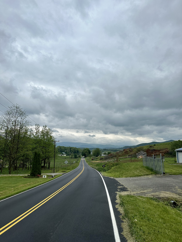
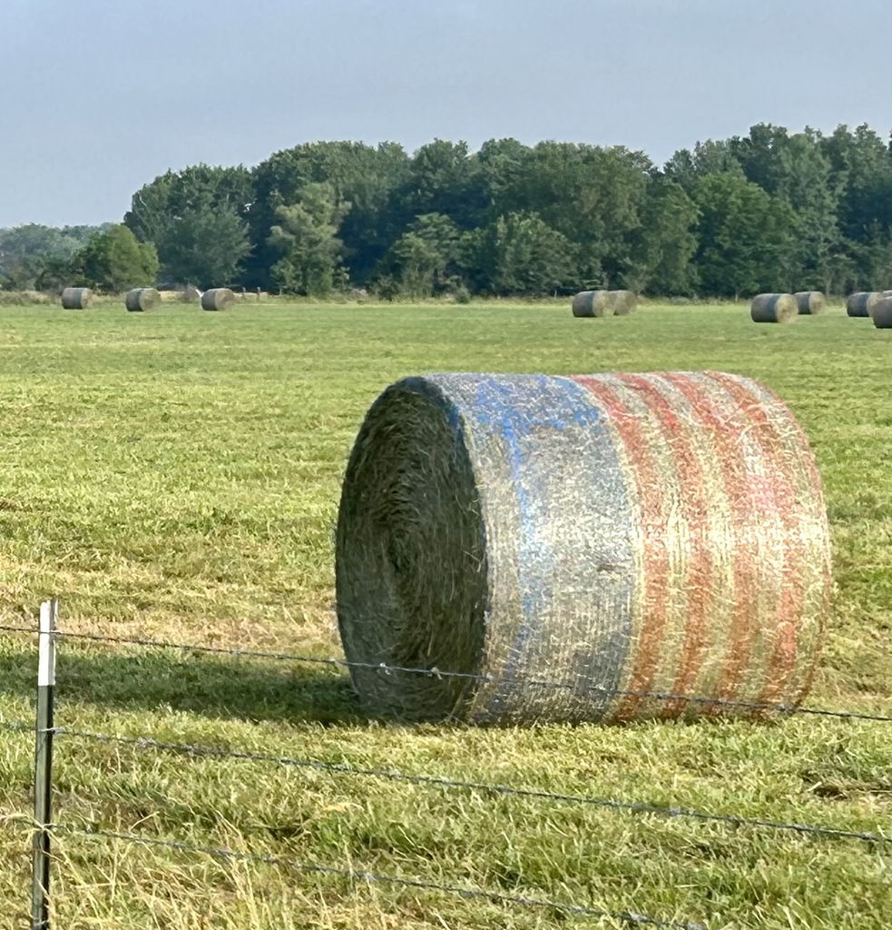
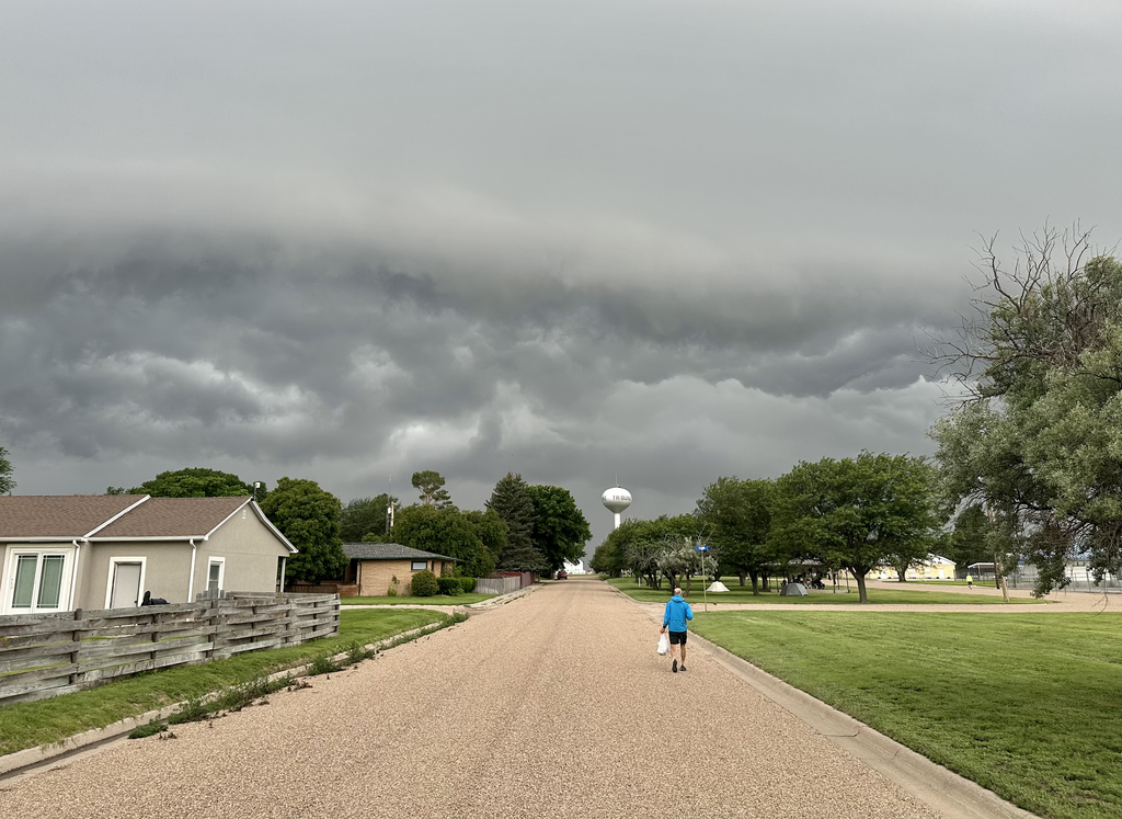
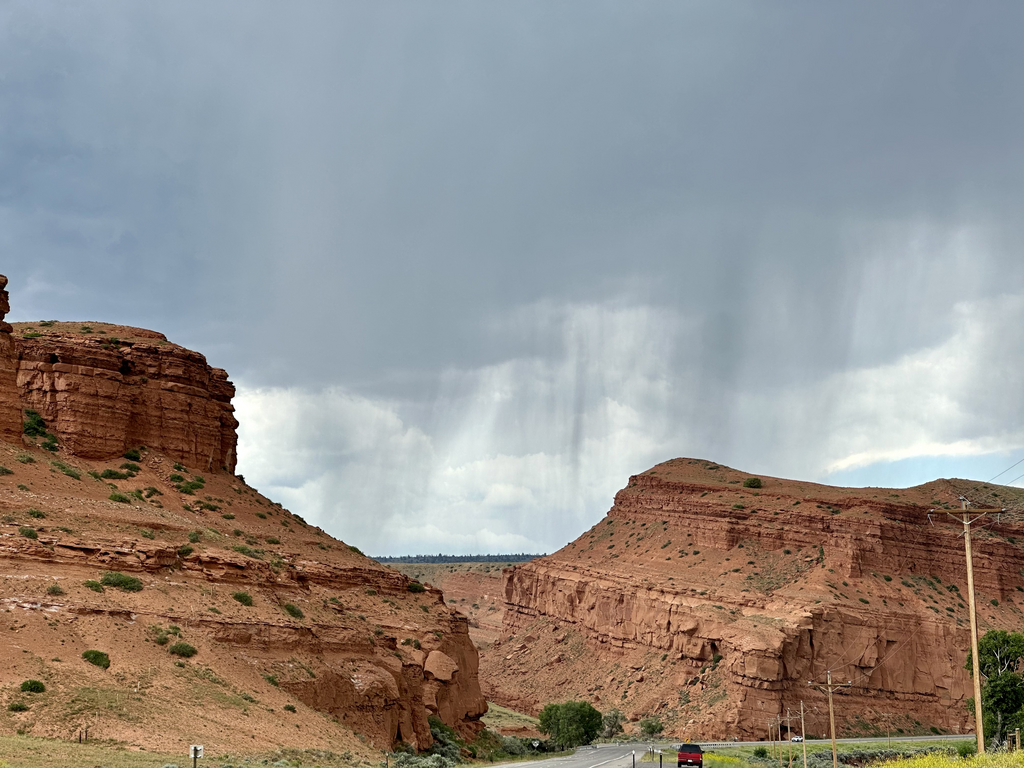
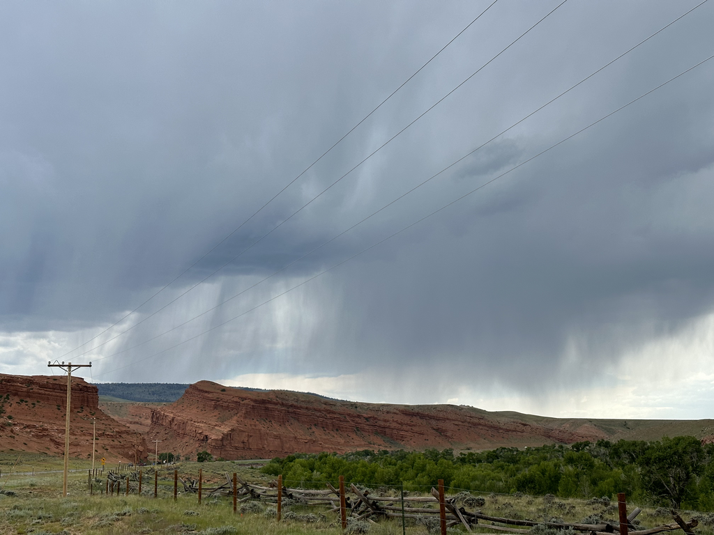
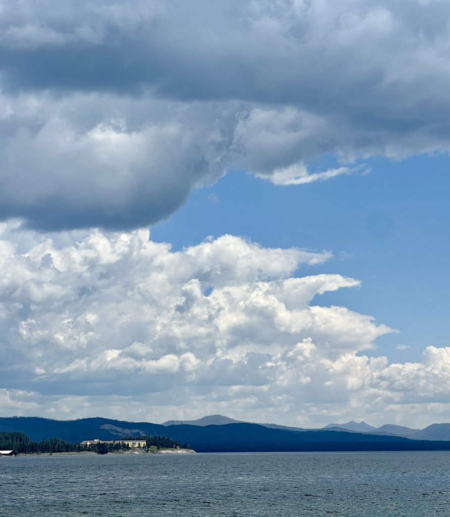
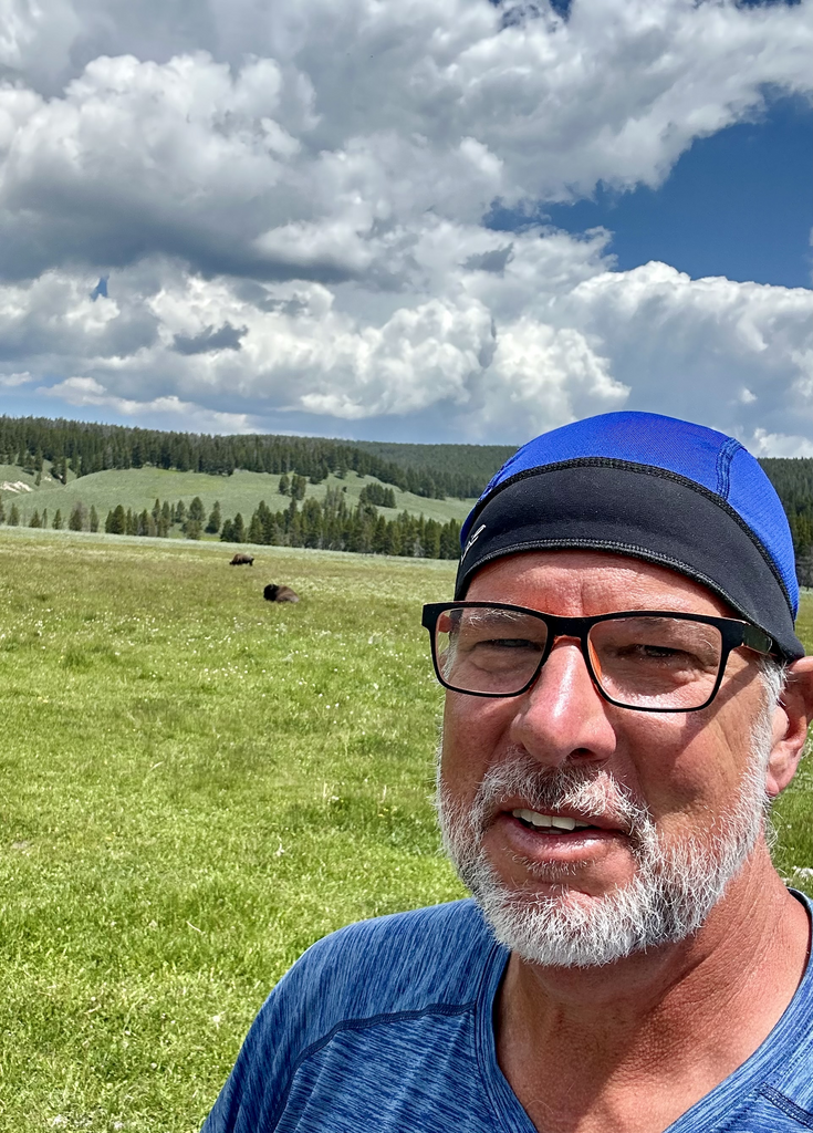
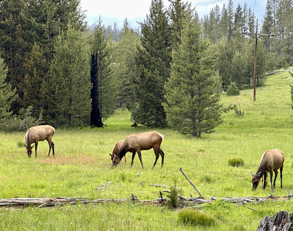
I will try to post each day, mainly to make sure my family knows I'm still alive, but also so that anyone reading this can appreciate the 100+ degree days, the sub-freezing nights, the brutal climbs, and oh-my-god the headwinds, just as if you were here as well. The links Why, What, and Route in the upper right corner give a bit more context on this particular bit of idiocy. Enjoy...
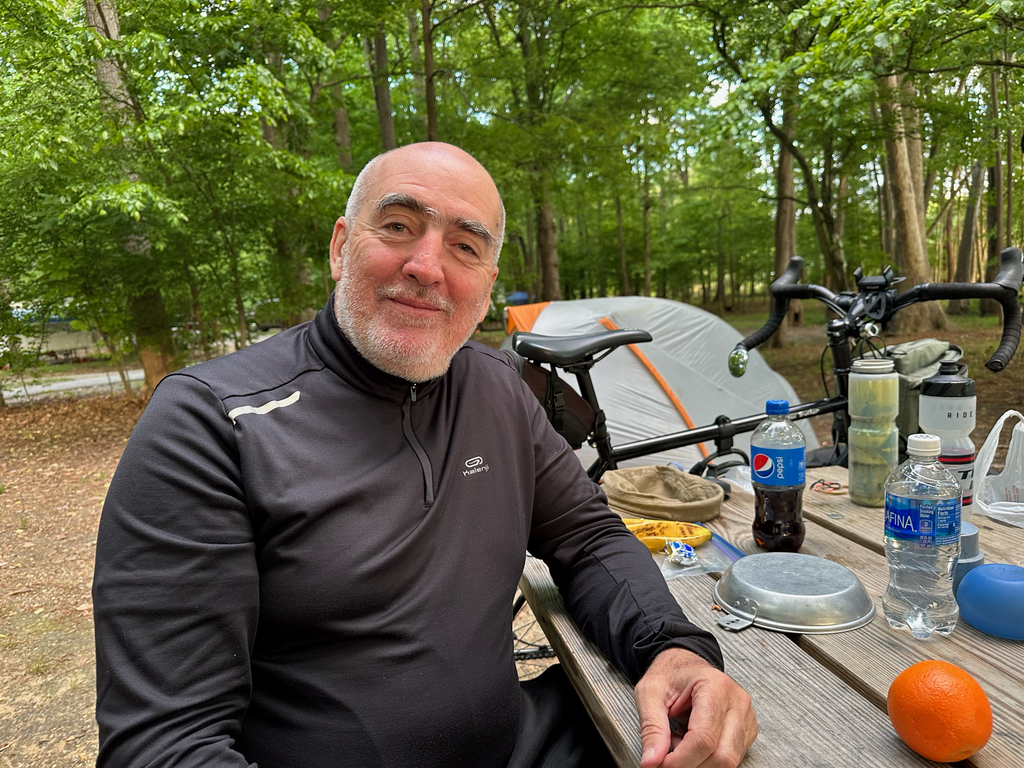
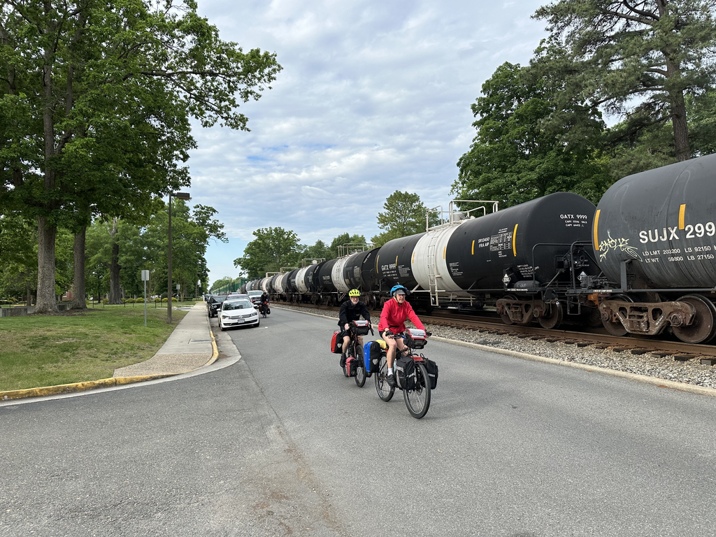
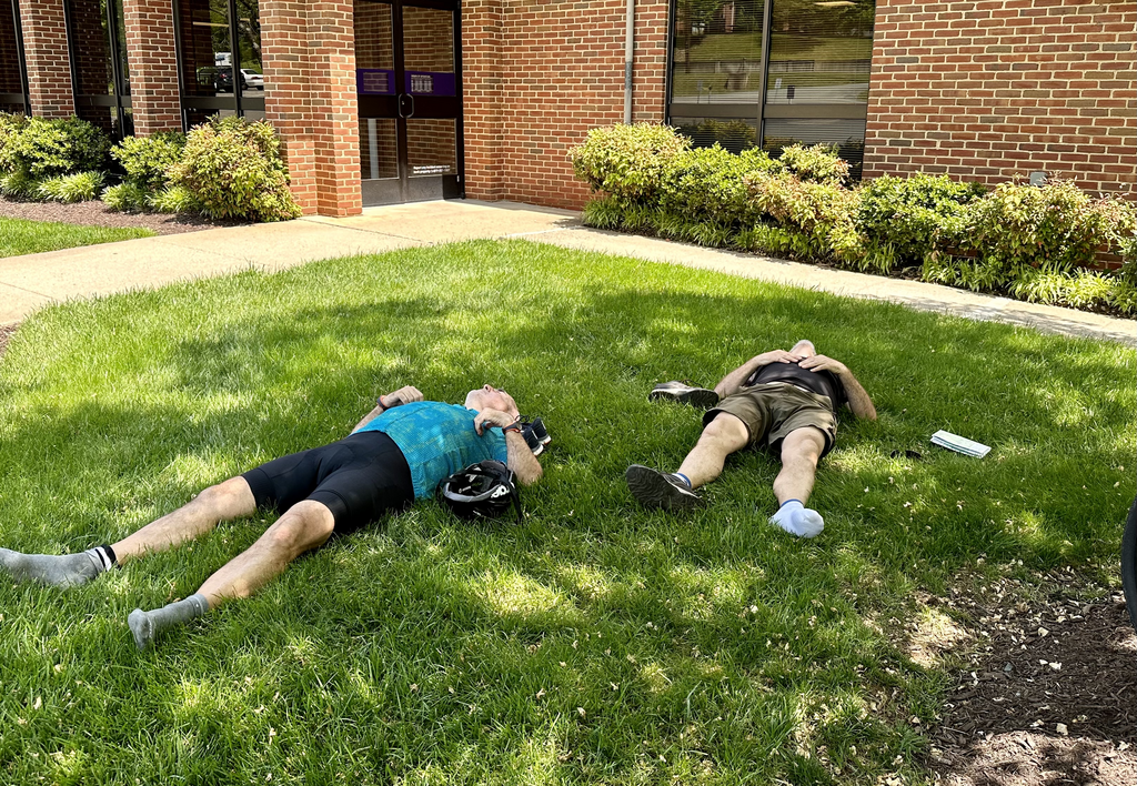
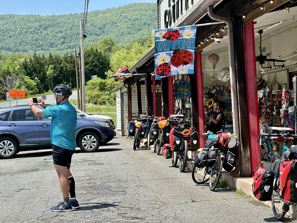
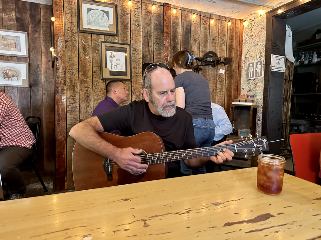
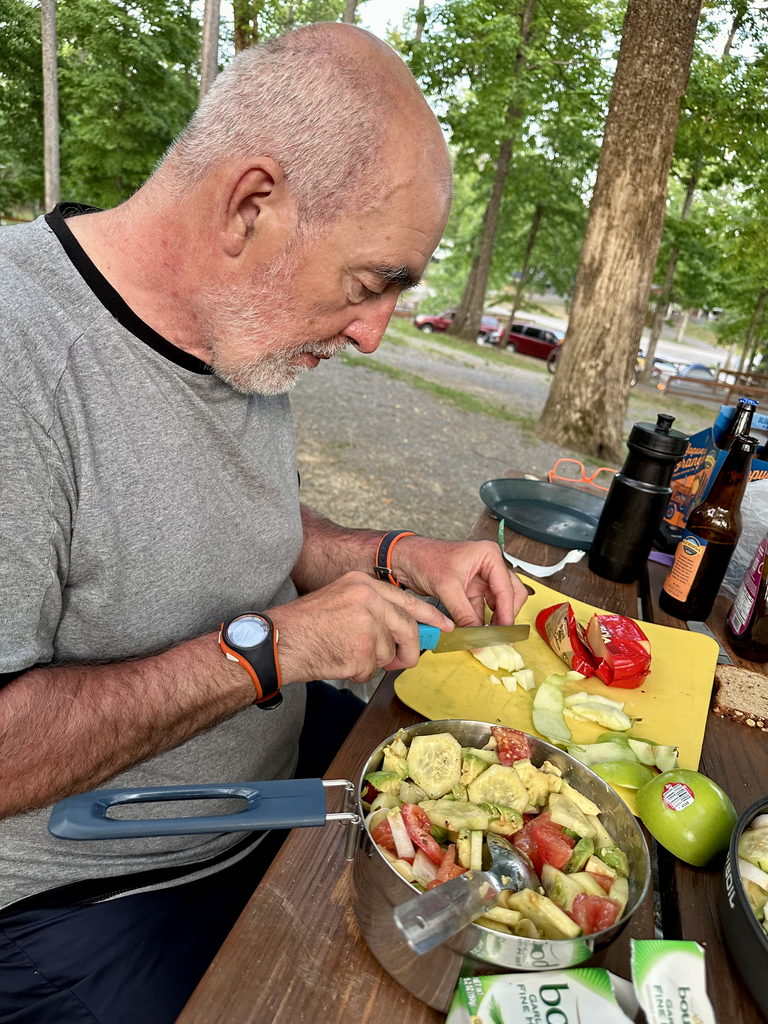
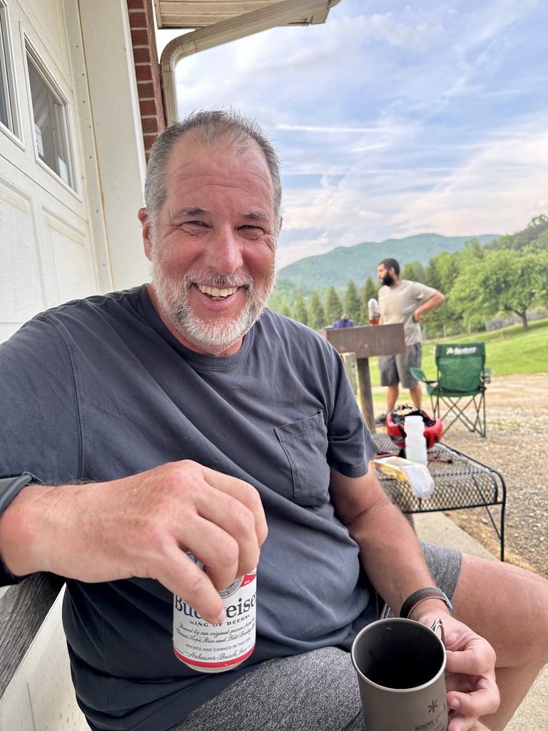
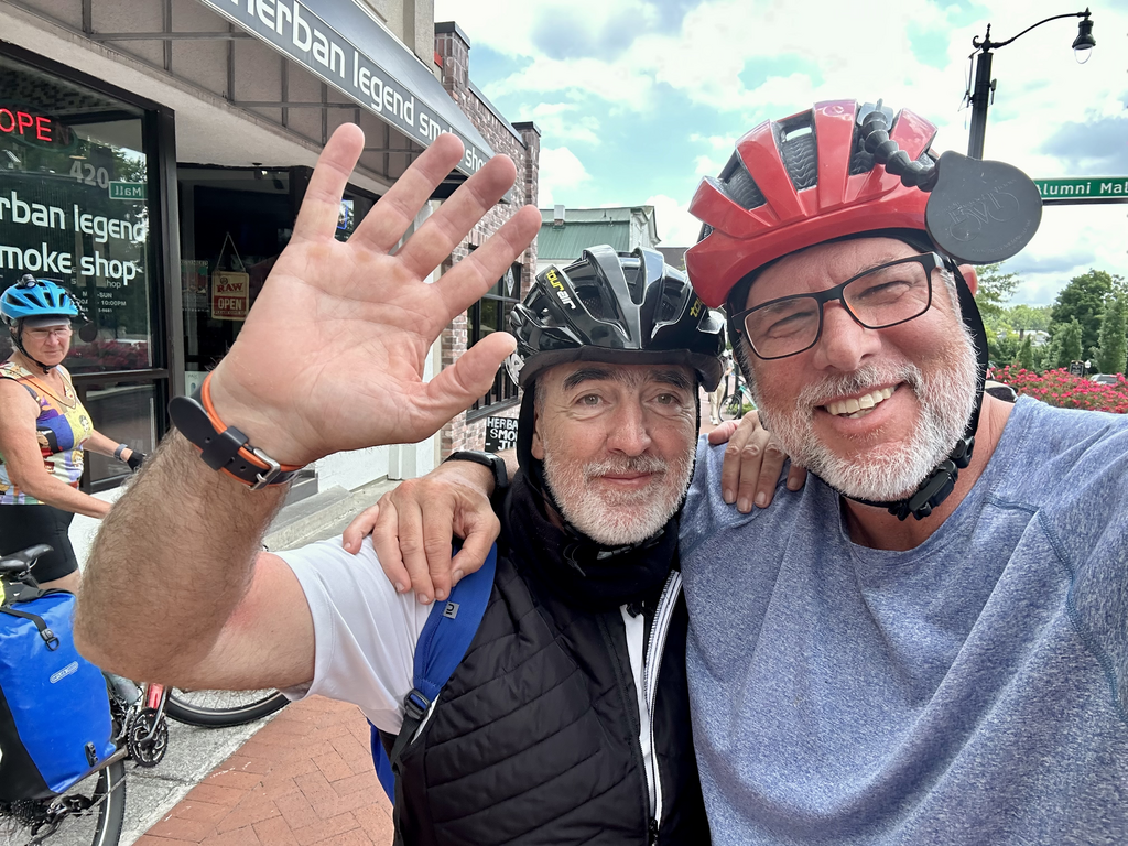
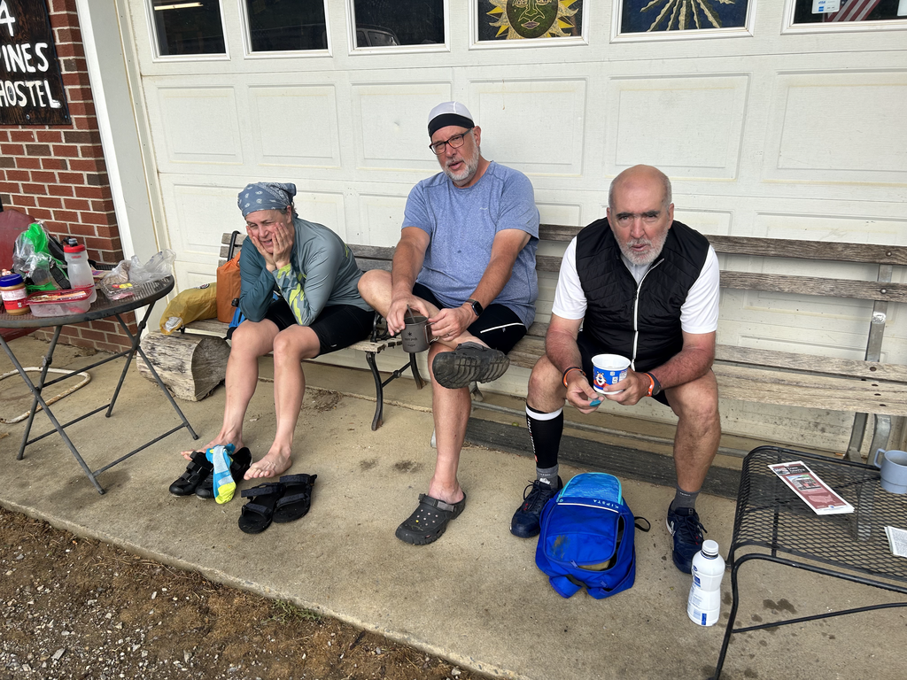
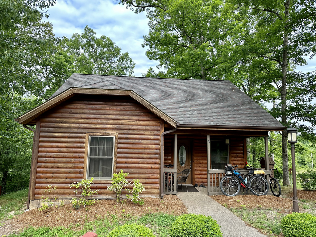
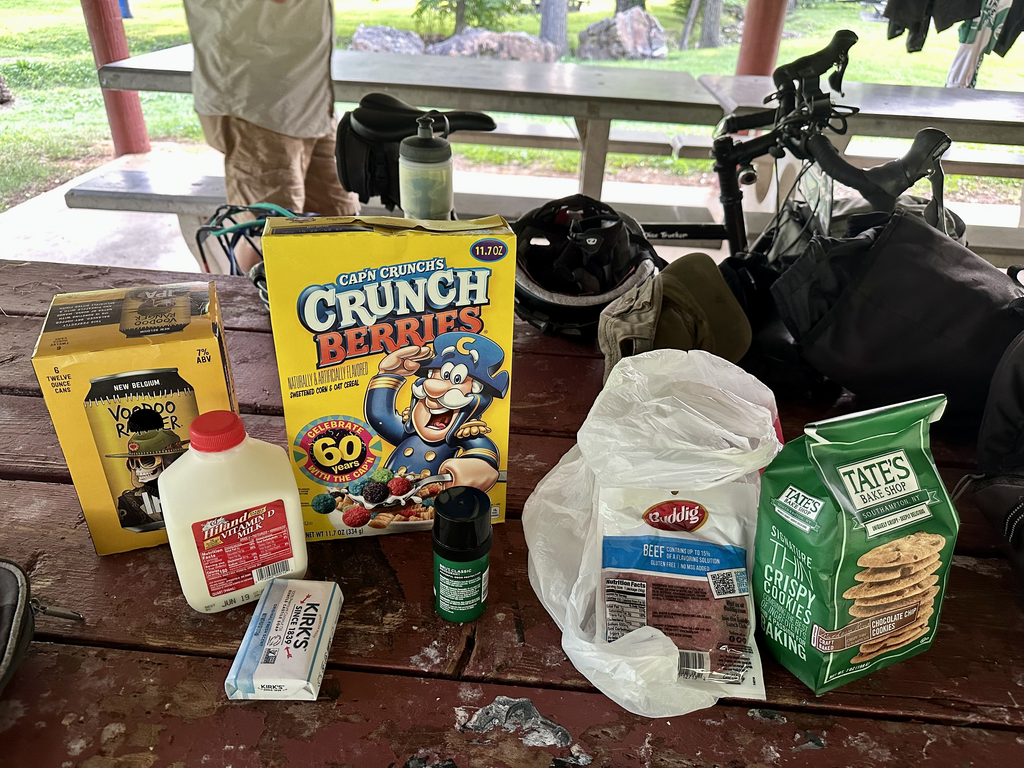
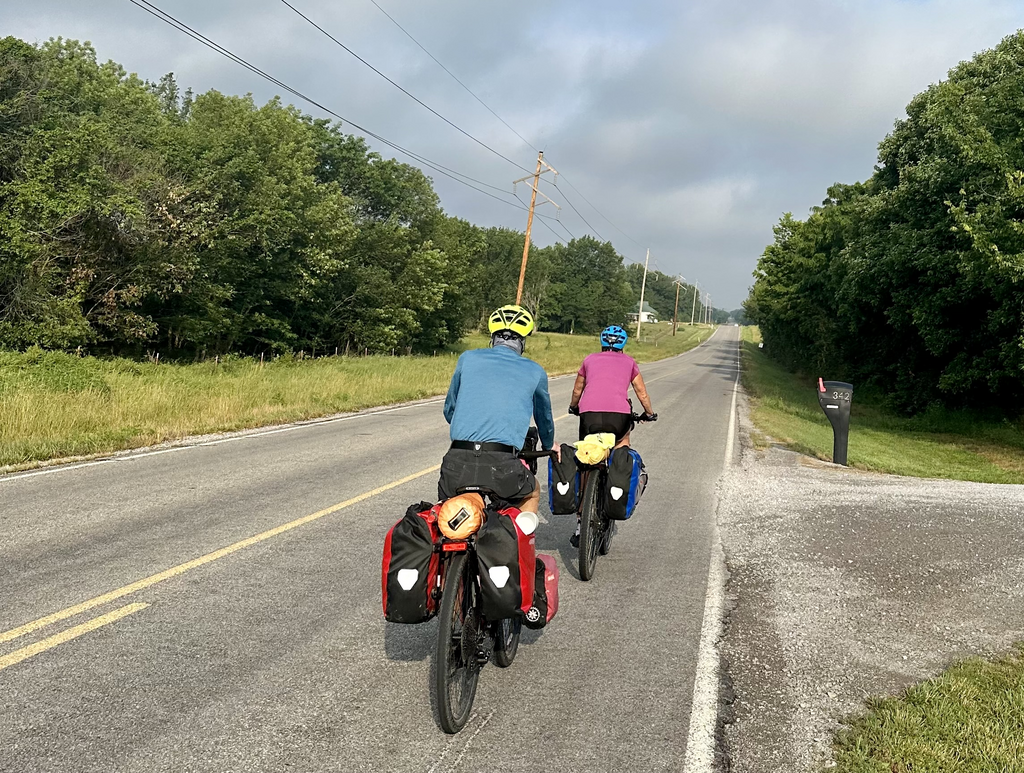
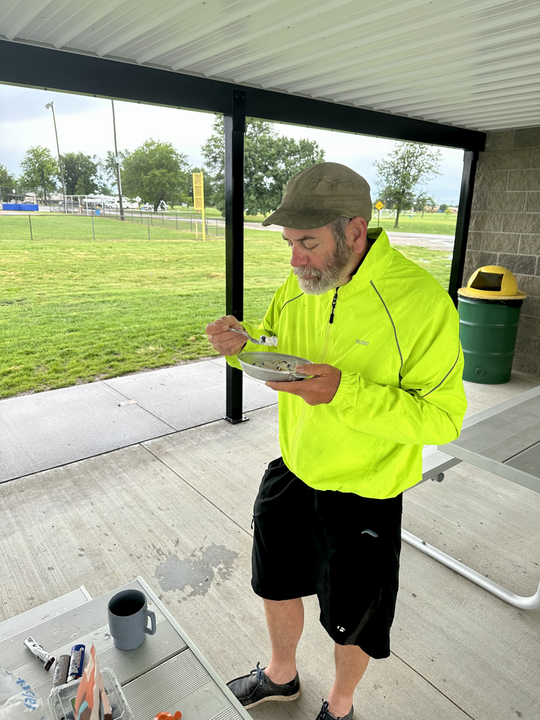
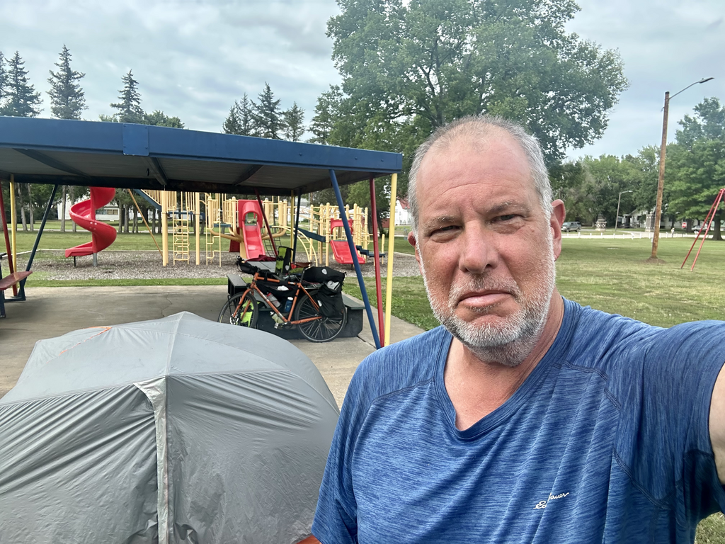
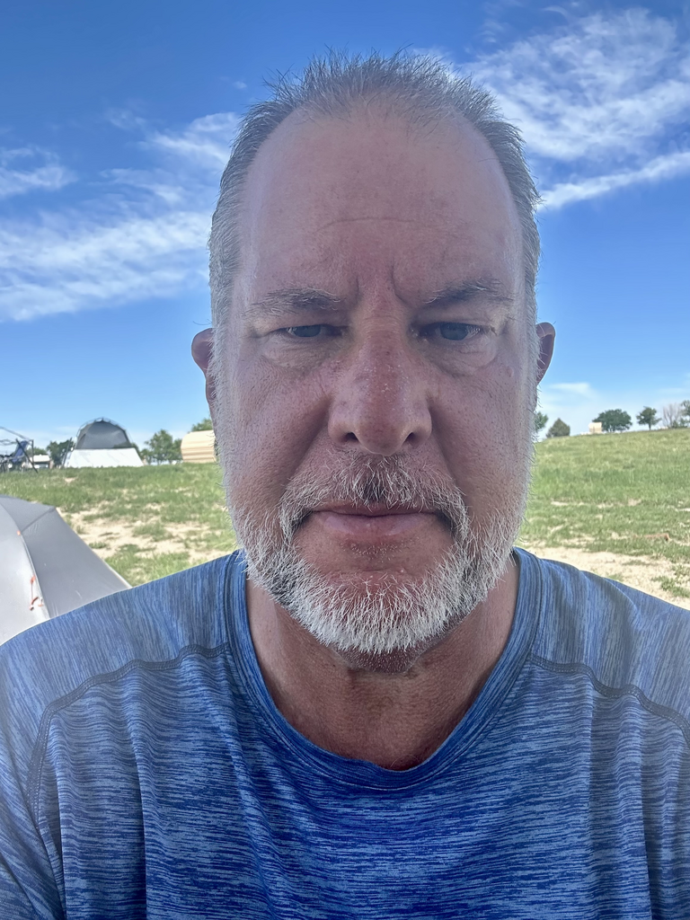
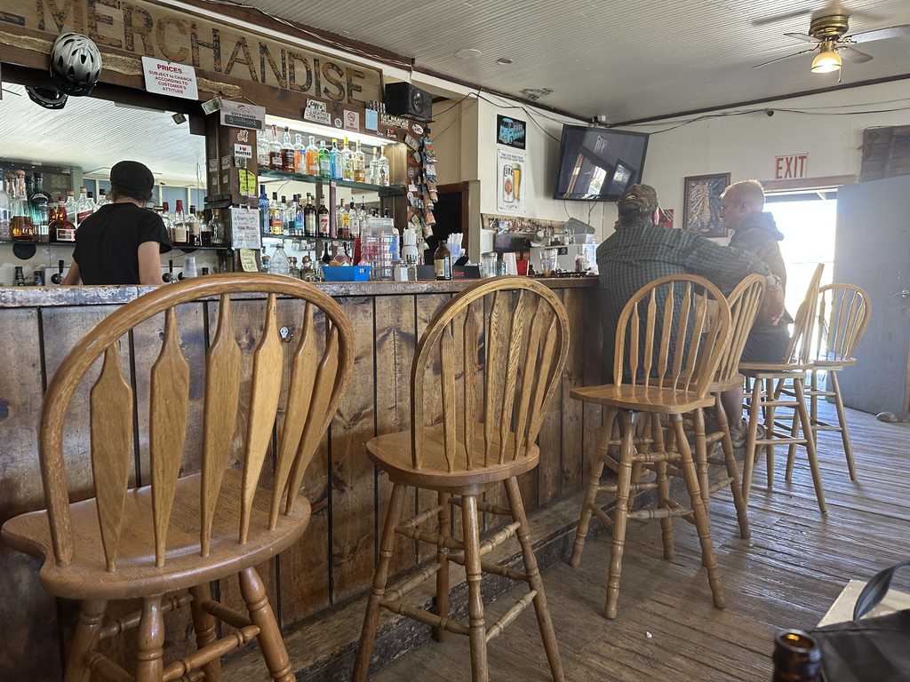
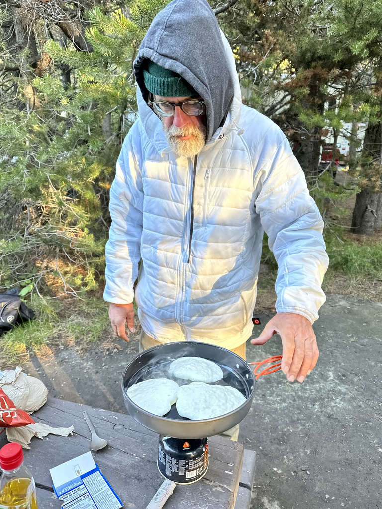
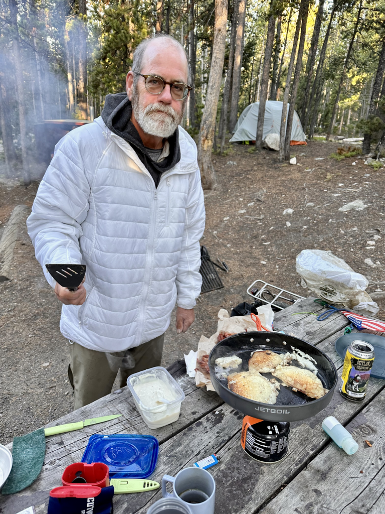
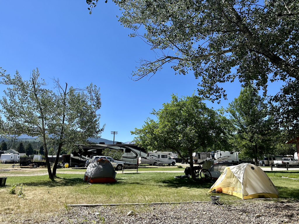
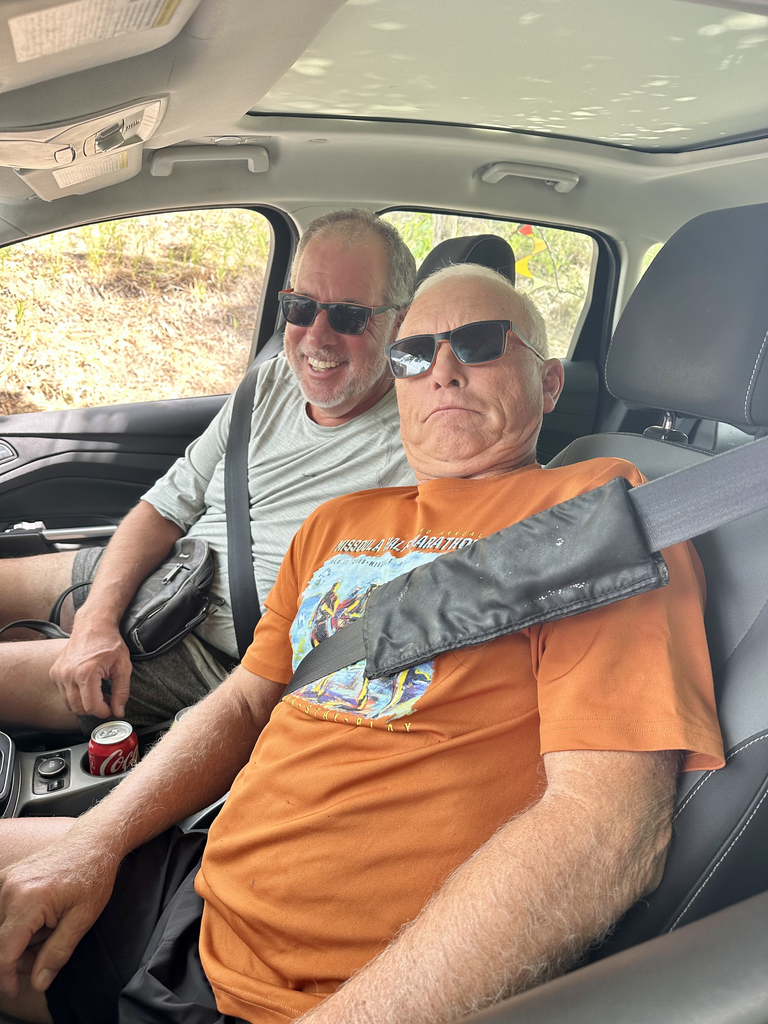
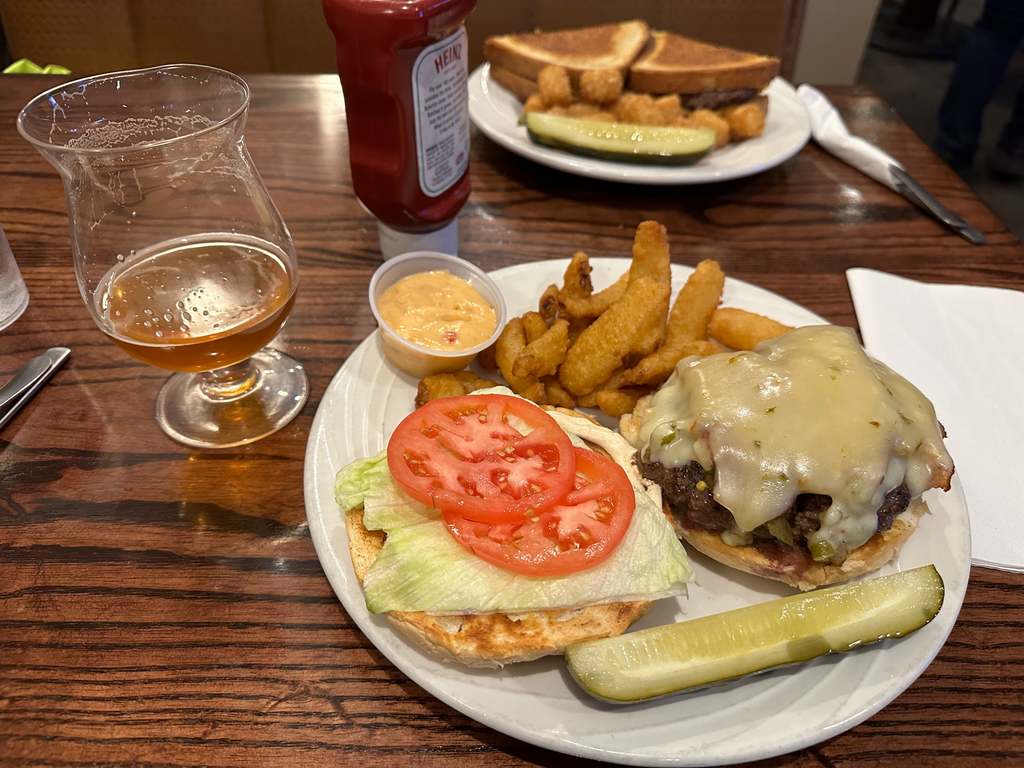
Mark and I just got back from a pub meal of Smash Burgers and craft beer, when Stephane arrived, after 80 miles on busy roads and rain. We meet Tim, Geri, and William for breakfast tomorrow morning, Paula arrives a bit later.
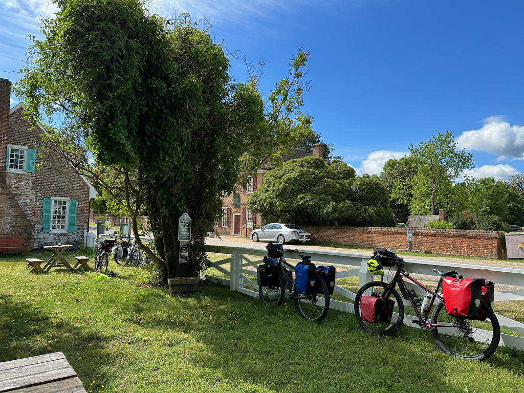
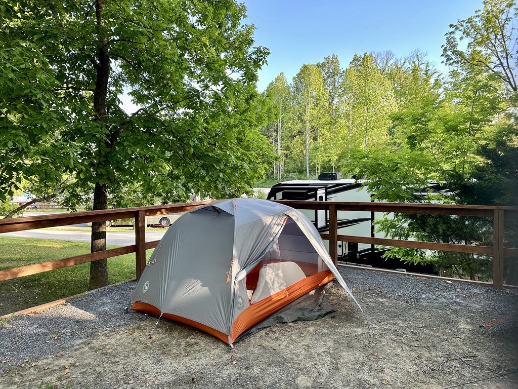
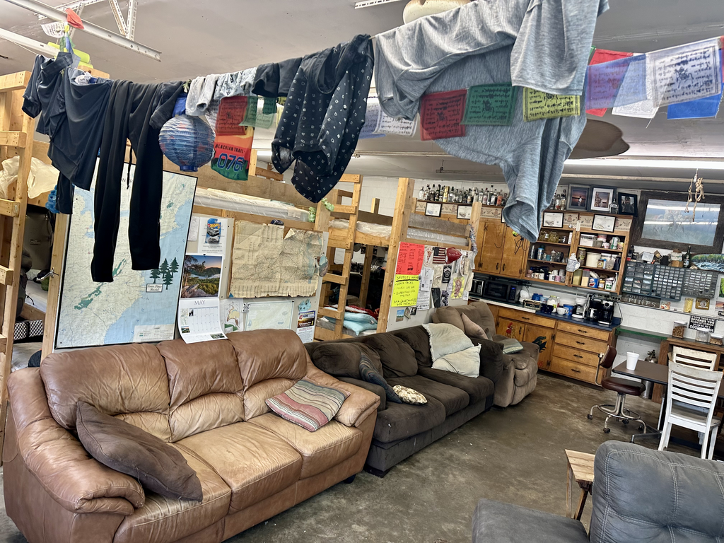
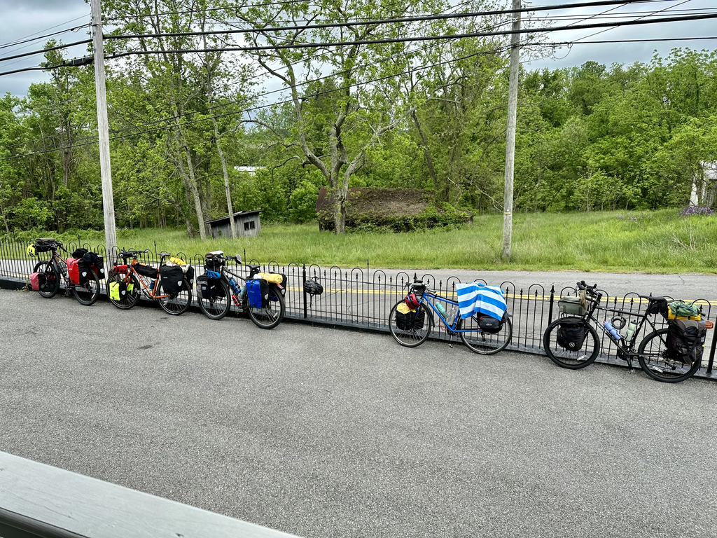
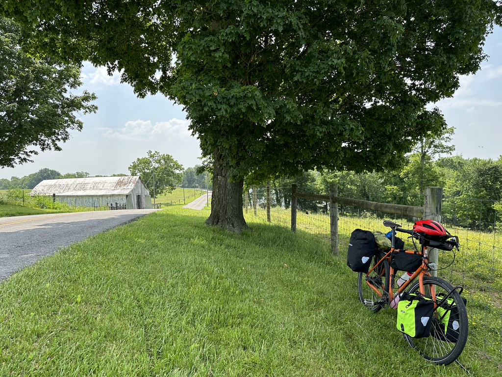
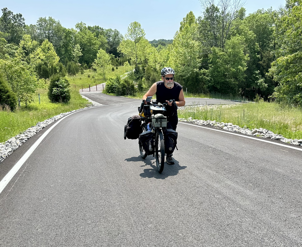
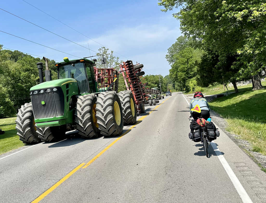
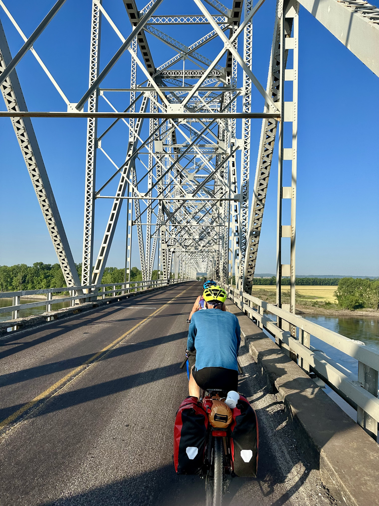
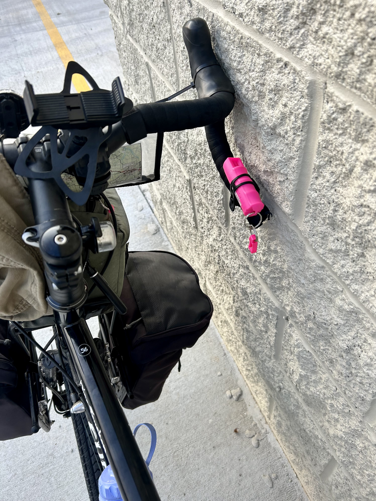
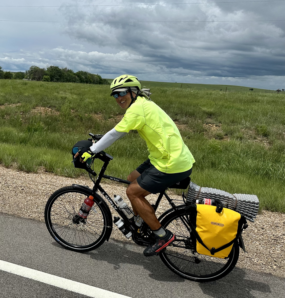
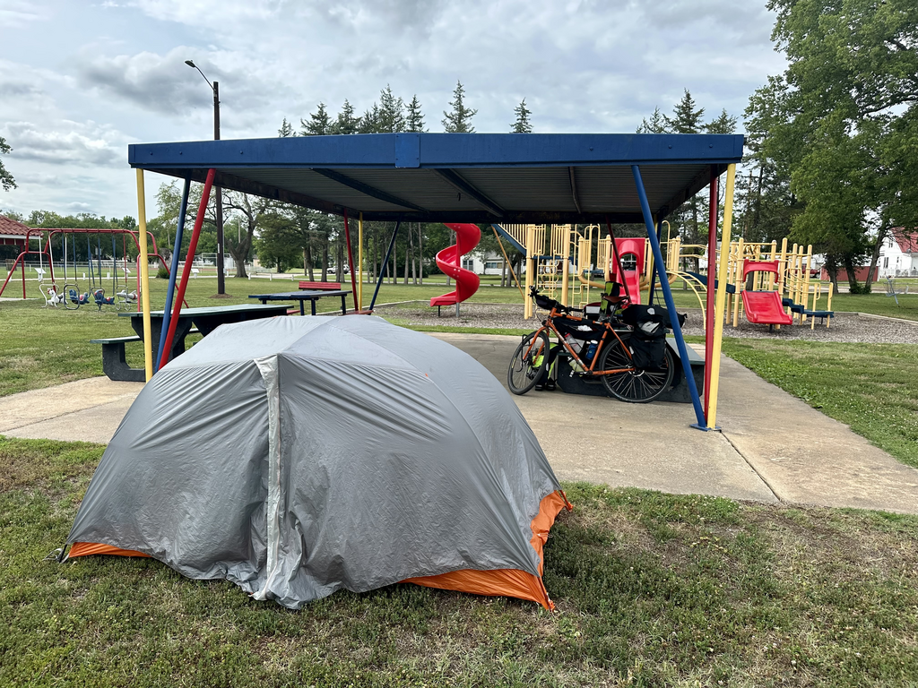
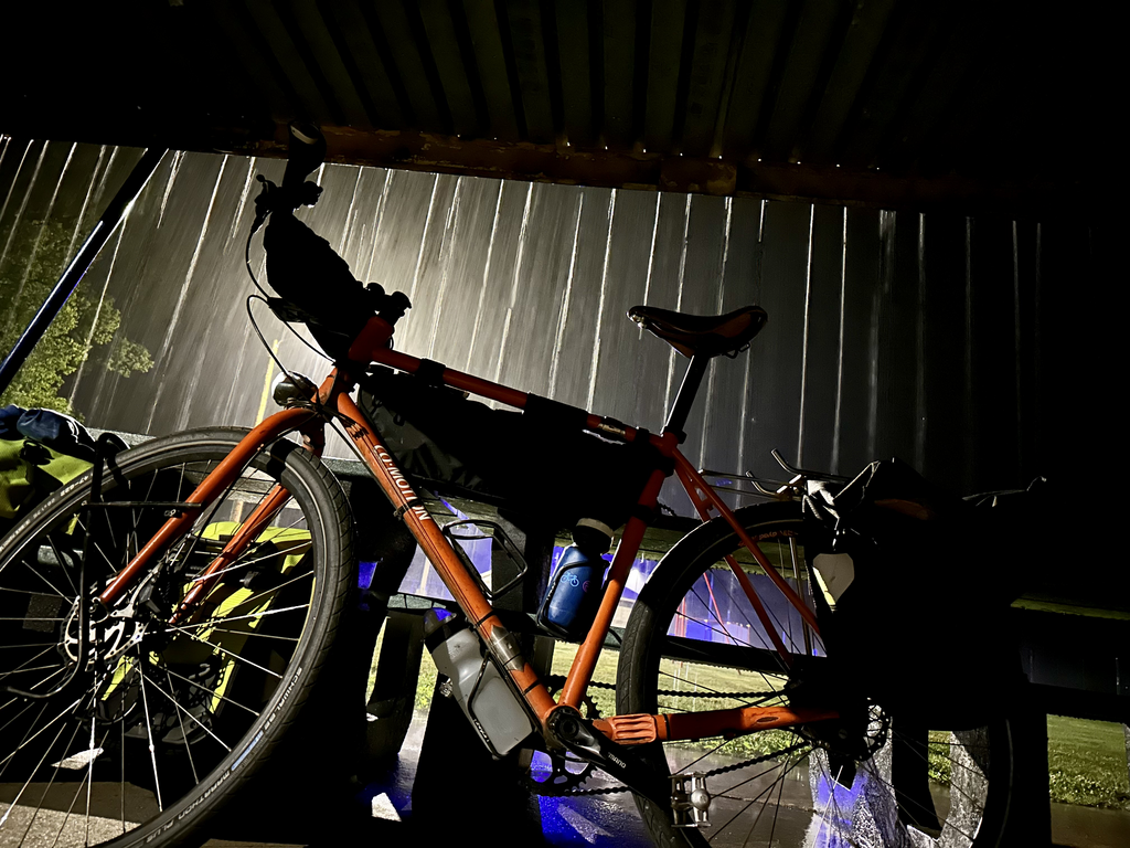
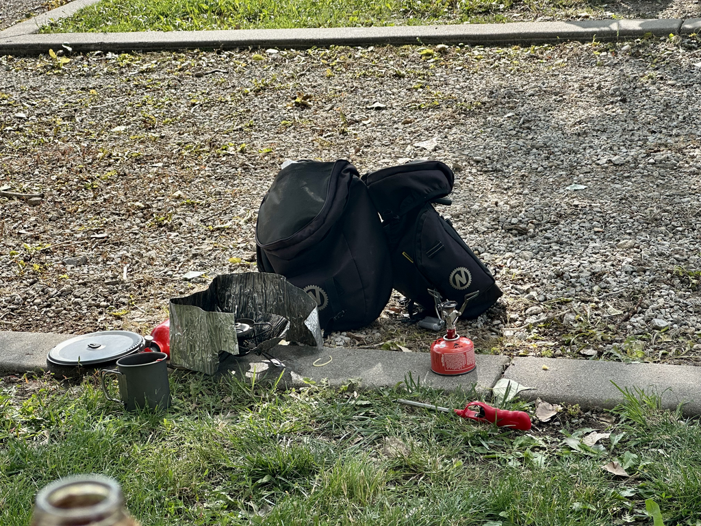
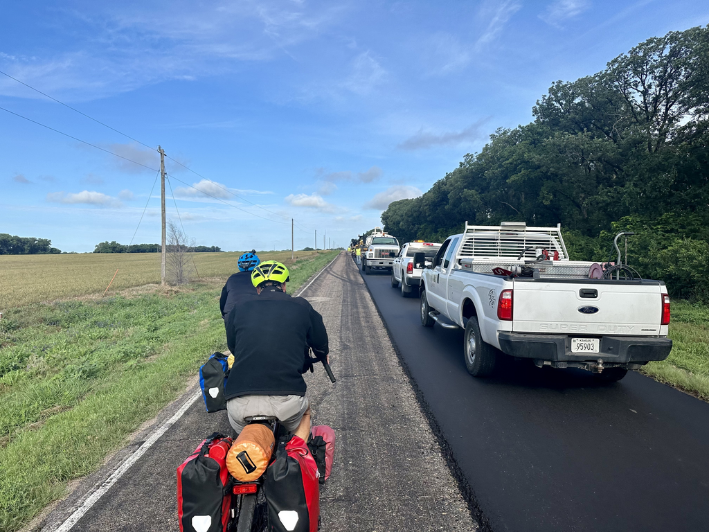
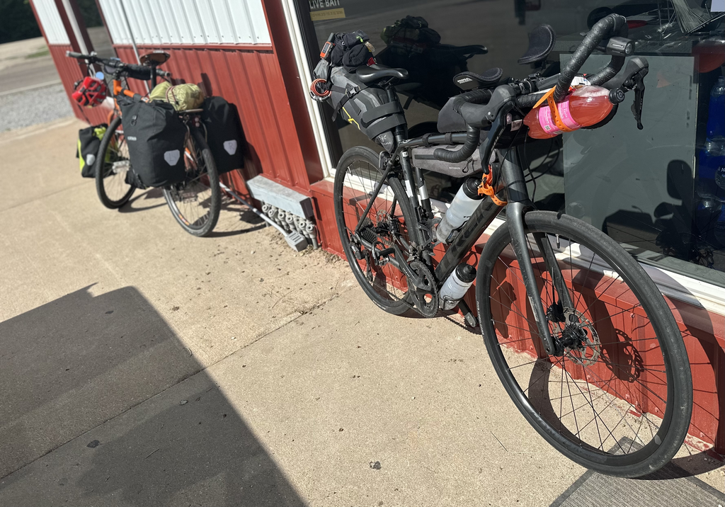
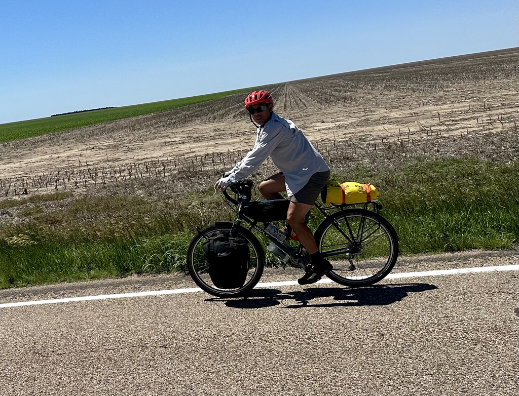
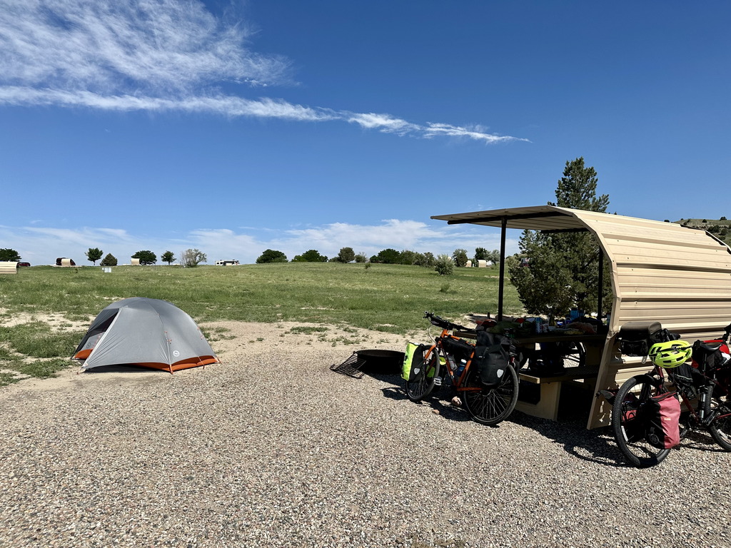
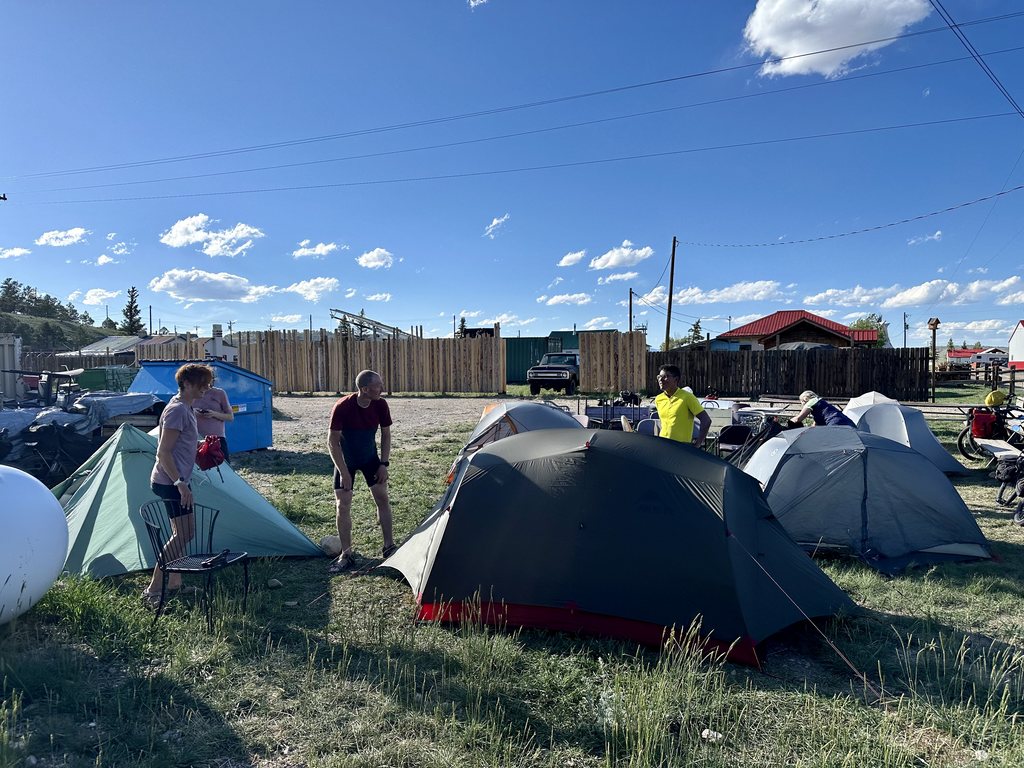
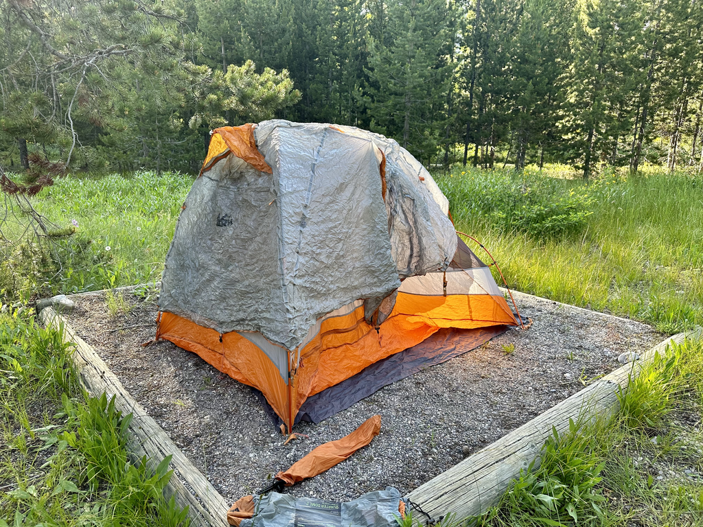
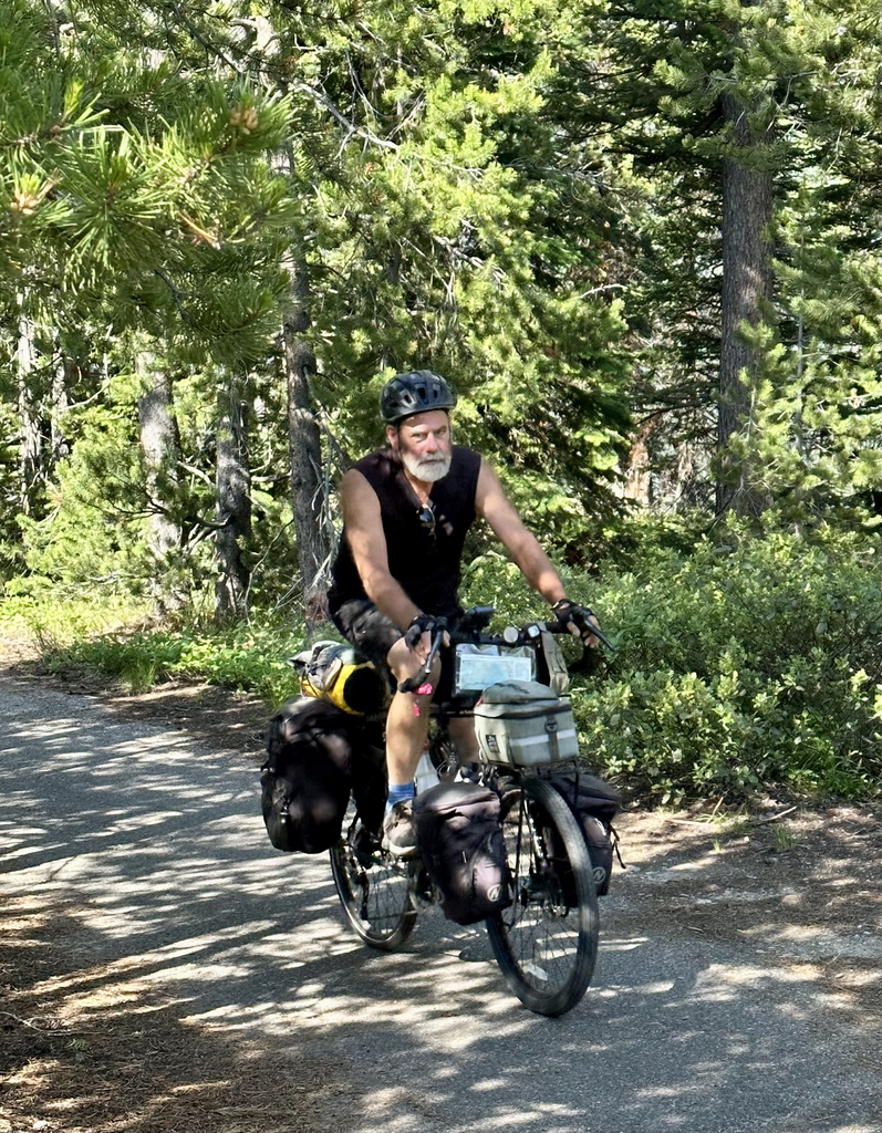
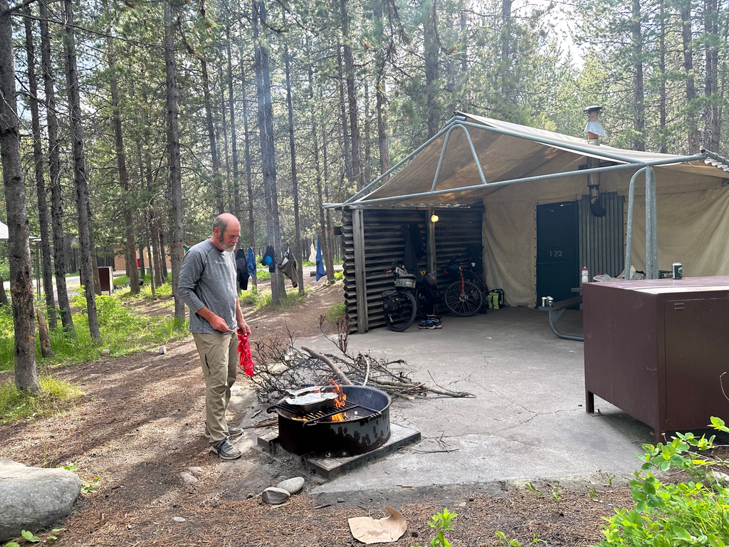
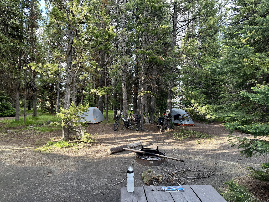
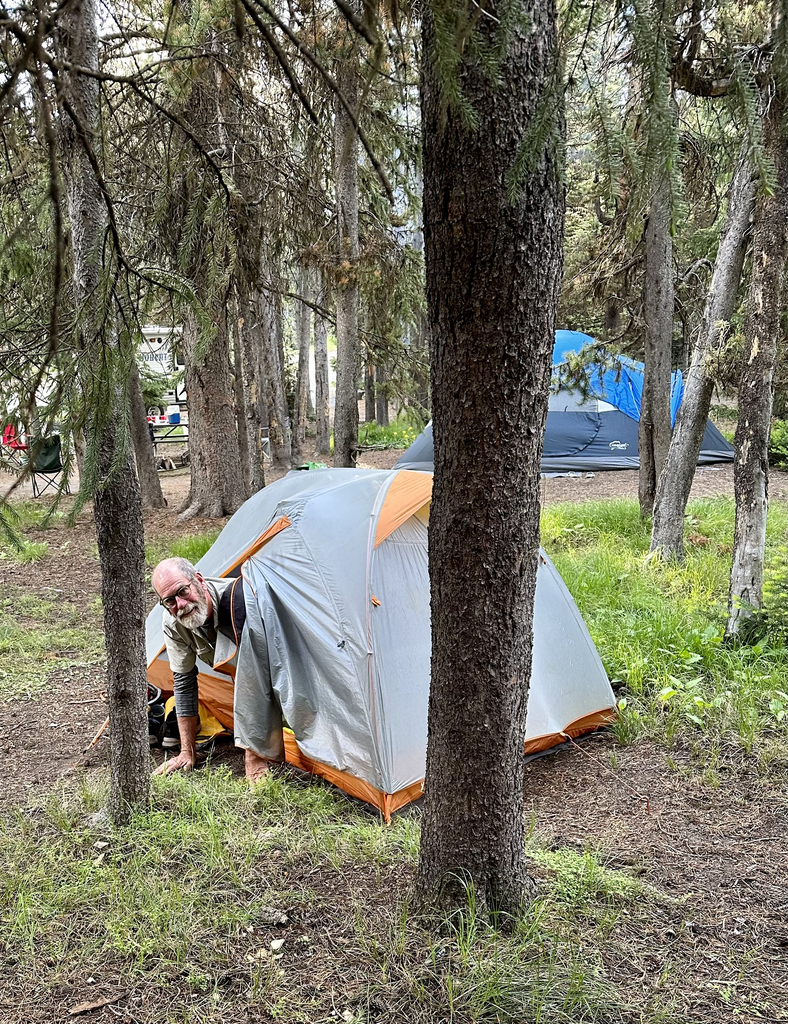
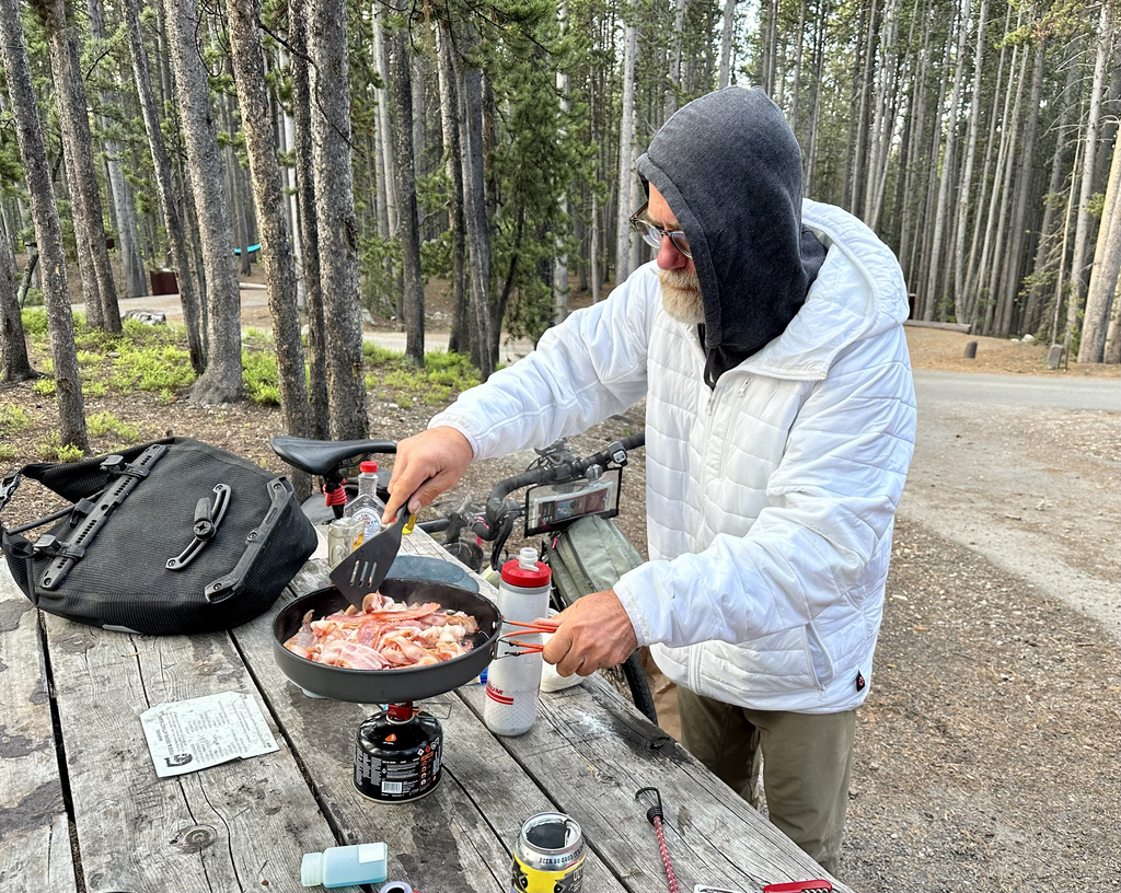
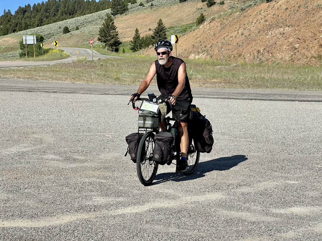
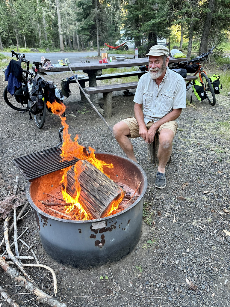
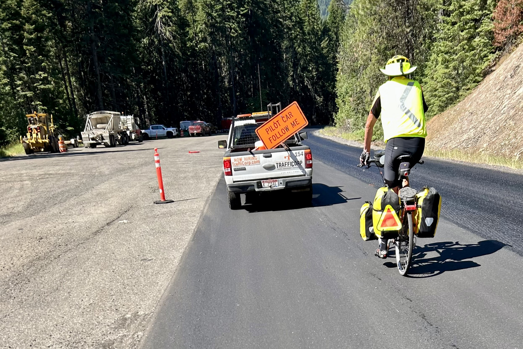
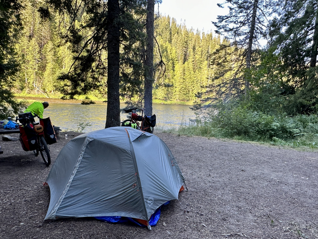
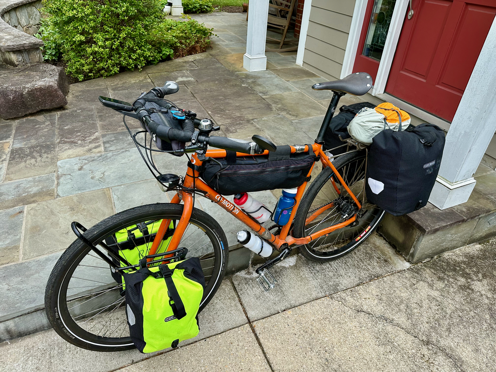
This ride is unsupported, meaning we each carry ~45-50 lbs of gear (clothes, tent, stoves, etc.). I've appended my packing list below:
- bike
- 3 water bottles
- helmet
- frame bag (5.3 lbs)
- ulock
- multi-tool
- combo lock
- gloves
- tire levers
- man bag
- phone
- wallet/keys
- wall wart
- USB C - lightning
- USB A - lightning
- small battery
- banana bag
- pepper spray
- extra usb A to C cable
- multitool
- heart rate band
- left front pannier (10.5 lbs)
- anker extension/ports
- headlight
- toiletries
- toothbrush
- toothpaste
- floss
- drugs
- razor
- soap
- fingernail clippers
- deod
- butt buttr
- deet
- parts
- rohloff oil kit
- 2 complete set brake pads
- 2 tubes
- patch kits
- extra parts
- bolts, various sizes
- 2 extra cogs
- super links
- zip ties
- duck tape
- chain pieces
- tools
- chain oil
- grease
- leatherman
- small screwdrivers for cog lock ring
- tiny crescent wrench
- lighter
- orange bag
- goo bag
- collapsible bag
- 2 big twisties, orange strap
- rag
- collapsible quart bag
- extra taillight
- batteries for headlight.
- right front pannier (10.5)
- electronics
- extra glasses
- electronics bag
- beats earpods
- big battery
- laptop (in sleeve)
- 12 maps
- map carrier for handlebar
- 3n1
- C-light
- C-C
- kindle
- heart band charger
- front L&M light
- extra back light
- rope/clothespins
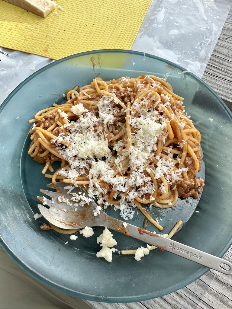
- kitchen
- frying pan
- mug
- plate
- (2) sporks
- via
- left rear pannier (clothes) (11 lbs)
- puffer jacket
- outer
- blue sweats
- rain pants
- eddie bauer sweatshirt
- silk pants layer
- silk shirt layer
- 2 shorts
- inner
- 1 thin/1 thick smart wool socks
- 1 pair bambas
- 2 underwear
- hat
- 2 shirts
- 2 long-sleeved shirts
- bag
- 2 dew rags
- 2 pair gloves (one extra, one cold weather)
- right rear (11.6 lbs)
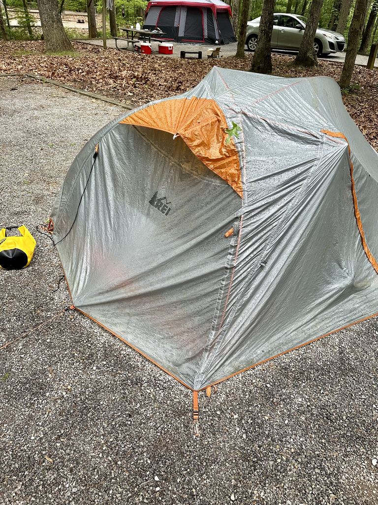
- sleeping bag
- tent
- pad
- pillow
- footprint
- showers pass jacket
- crocs
Once